|
Farms of the Jura in winter The Jura mountains run in a southwest-northeast direction along the border between France and Switzerland, from Geneva (Genève) to Basel (Bâle), holding at about 1300-1400 meters altitude (4350-4500 feet), and peaking in the range of 1650 meters (5450 feet). These photos of high alpage farms in winter are mainly from the southwestern end of that range, between the cities of Geneva and Vallorbe.
Petit Cunay
16 February 2002
8 December 2003, in bright sunlight after a fogged-in hike to Mont Tendre
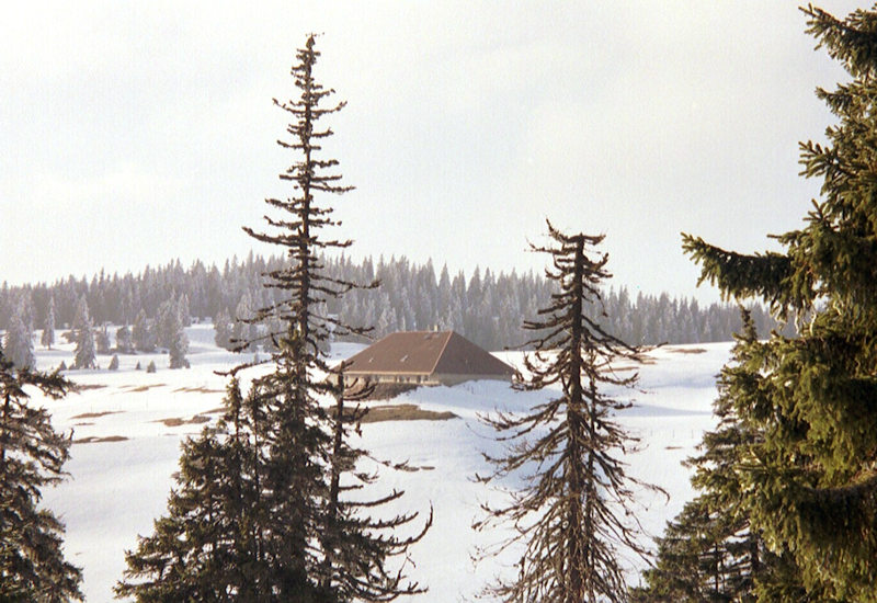
The farm at Petit Cunay, 14 March 2004
We're marching round it going eastward, bound for the Creux d'Enfer
Petit Cunay farm from the east, 2 May 2004
The same, zoomed
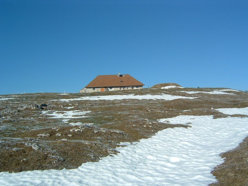
3 April 2005, snow almost gone already
from SwitzerlandMobility (http://map.schweizmobil.ch/?lang=en)
|


Farms of the Jura in winter
|
More farms of the Jura
|