|
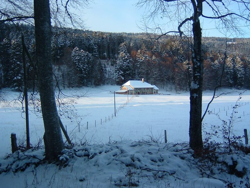
Farms of the Jura in winter The Jura mountains run in a southwest-northeast direction along the border between France and Switzerland, from Geneva (Genève) to Basel (Bâle), holding at about 1300-1400 meters altitude (4350-4500 feet), and peaking in the range of 1650 meters (5450 feet). These photos of high alpage farms in winter are mainly from the southwestern end of that range, between the cities of Geneva and Vallorbe.
La Chaumette
from SwitzerlandMobility (http://map.schweizmobil.ch/?lang=en)
24 January 2008
The Rapture, or just the wind in the trees. We're ready, either way.
Kristin getting out of the wind at La Chaumette, December 2009
|


Farms of the Jura in winter
|
More farms of the Jura
|