|
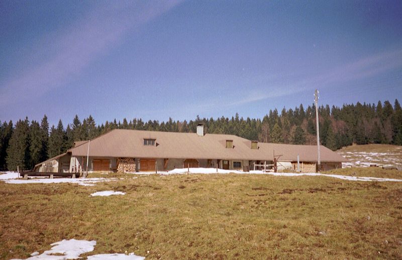
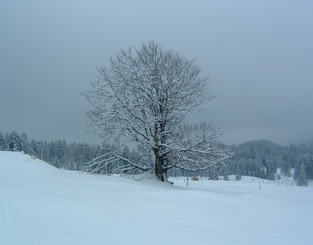
Farms of the Jura in winter The Jura mountains run in a southwest-northeast direction along the border between France and Switzerland, from Geneva (Genève) to Basel (Bâle), holding at about 1300-1400 meters altitude (4350-4500 feet), and peaking in the range of 1650 meters (5450 feet). These photos of high alpage farms in winter are mainly from the southwestern end of that range, between the cities of Geneva and Vallorbe.
La Givrine
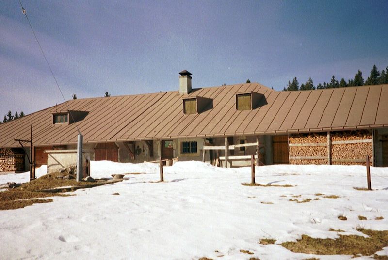
This was taken on 17 February 2002, toward the end of nearly a two-month drought of snow.
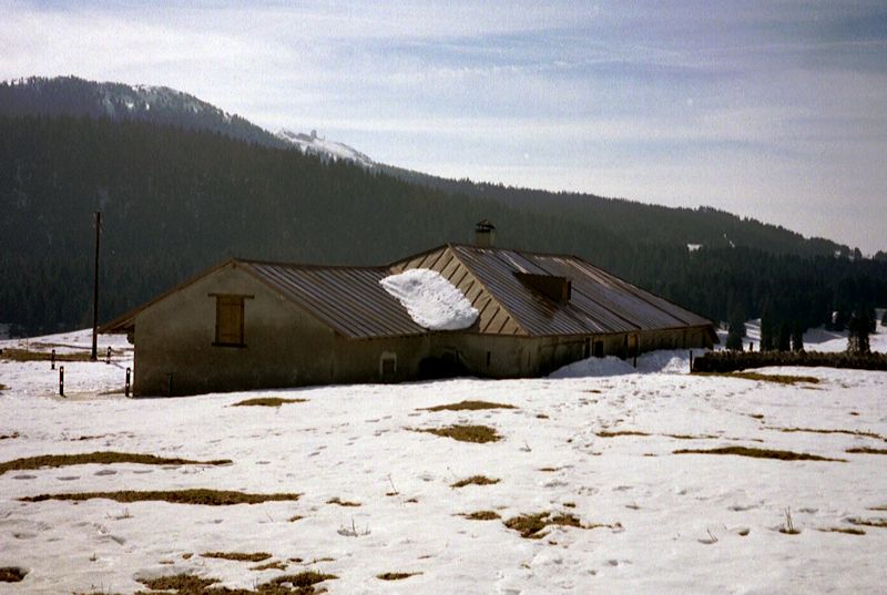
There's La Dôle up there in the background (Poêle Chaud on the left horizon). This is 17 February 2002.
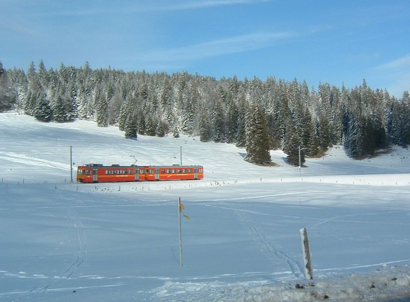
from SwitzerlandMobility (http://map.schweizmobil.ch/?lang=en) The little red train passing along the Col de la Givrine between La Cure (France) and Nyon (Switzerland)
|


Farms of the Jura in winter
|
More farms of the Jura
|