|
 Dwight
Peck's farm photos Dwight
Peck's farm photos
Farms
of the Jura in winter
The
Jura mountains run in a southwest-northeast direction along the border between
France and Switzerland, from Geneva (Genève) to Basel (Bâle), holding at about
1300-1400 meters altitude (4350-4500 feet), and peaking in the range of 1650 meters
(5450 feet). These photos of high alpage farms in winter are mainly from the southwestern
end of that range, between the cities of Geneva and Vallorbe.
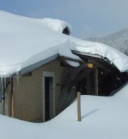
La
Racine

At
1509 meters altitude, about halfway along the 18km cross-country skiing path between
the Col du Marchairuz and the Col de Mollendruz.
23 March 2003.


23 March 2003

A
snowstorm at mid-day, 20 February 2005 . . .

.
. . returning later the same day. This is from the south.

Again
from the south, 13 March 2005

From
the cross-country ski track to the southeast, 13 March 2005

From
the northeast

13
March 2005
Le
Mazel
Le
Mazel (1449 meters altitude) lies just NE of the halfway point along the 36km
cross-country skiing path between the Col du Marchairuz and the Col de Mollendruz,
where the trail begins a long descent towards Mollendruz. This is a snowy 25 February
2001.
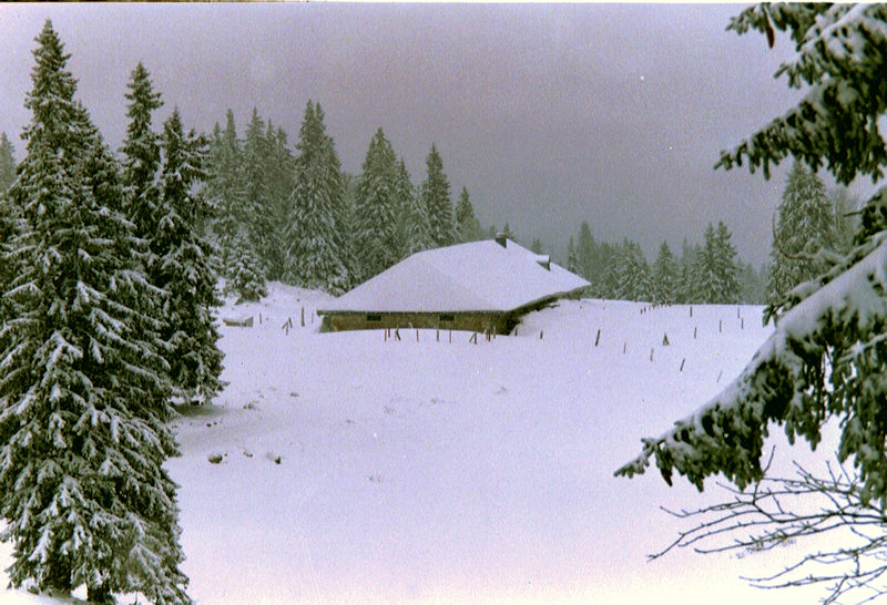
Croset
au Boucher

Croset
au Boucher (1476 meters altitude), part of the complex of Grands and Petit Crosets
farms just to the west and below the summit of Mont Tendre, lies just at the halfway
point along the18km cross-country skiing path between the Col du Marchairuz and
the Col de Mollendruz. This is a snowy afternoon, February 2005.

13
March 2005
Pré
d'Etoy

This
farm lies at 1486 meters altitude, about halfway along the 18km cross-country
skiing path between the Col du Marchairuz and the Col de Mollendruz, just in the
shadow of Mont Tendre.

Pré d'Etoy farm, 23 March 2003
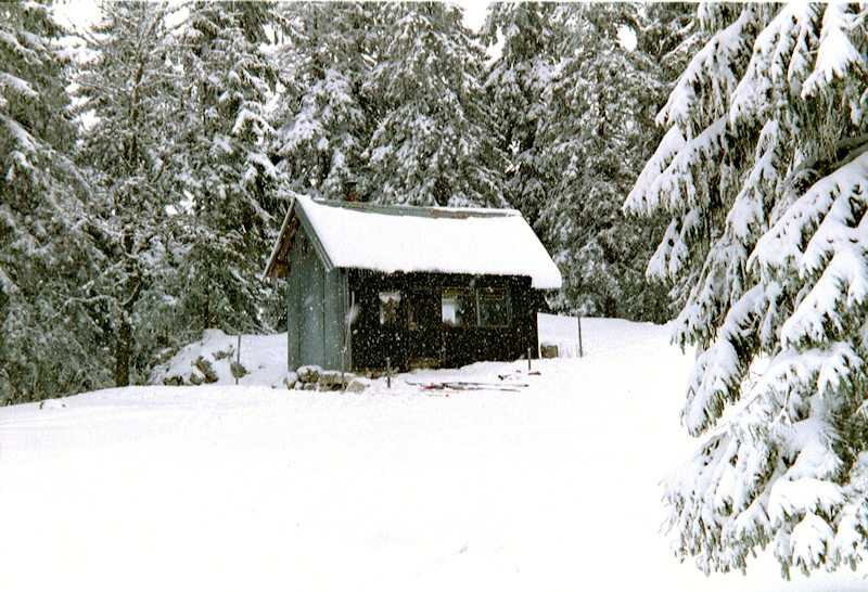
The
tiny Réfuge Bon Accueil ("warm welcome") about half a kilometre SW of
the Pré d'Etoy on the cross-country track. March 2001.

from SwitzerlandMobility (http://map.schweizmobil.ch/?lang=en)
 Feedback
and suggestions are welcome if positive, resented if negative, Feedback
and suggestions are welcome if positive, resented if negative,  .
All rights reserved, all wrongs avenged. Posted 15 March 2001, revised 16 June
2007, 8 September 2014. .
All rights reserved, all wrongs avenged. Posted 15 March 2001, revised 16 June
2007, 8 September 2014.
|