|
 Dwight
Peck's farm photos Dwight
Peck's farm photos
Farms
of the Jura in winter
[The
Jura mountains run in a southwest-northeast direction along the border between
France and Switzerland, from Geneva (Genève) to Basel (Bâle), holding at about
1300-1400 meters altitude (4350-4500 feet), and peaking in the range of 1650 meters
(5450 feet). These photos of high alpage farms in winter are mainly from the southwestern
end of that range, between the cities of Geneva and Vallorbe.]
Pré
de Ballens

Pré
de Ballens (1426m) and Pré de Mollens (1396m) lie in a 1-km2 hidden bowl
of alpine pasturage just southeast of the summit ridge of Mont Tendre. Single-track
paved farm roads lead steeply up from the villages of Berolle and Mollens below.
Prof.
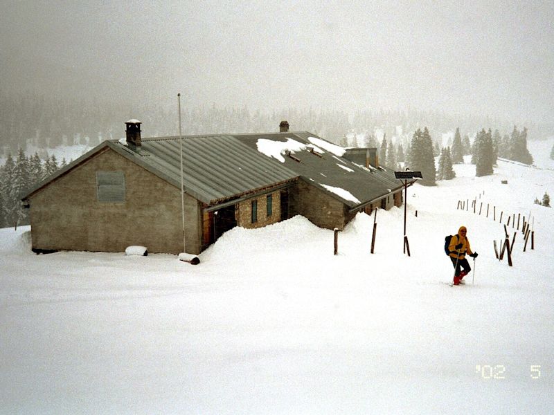
Joe is seen descending upon the farm of Pré de Ballens from the Crêt
de Mondisé in rather a significant snowstorm on 4 May 2002.

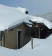
Dr
Joe wades towards shelter at the farm of Pré de Ballens on 4 May 2002.
The farm of Pré de Mollens can be seen on the little ridge left of center.
Awaiting the stragglers

Prof.
Pirri wanders around seeking a cosy place for a bit of lunch.
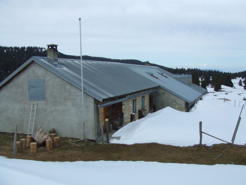
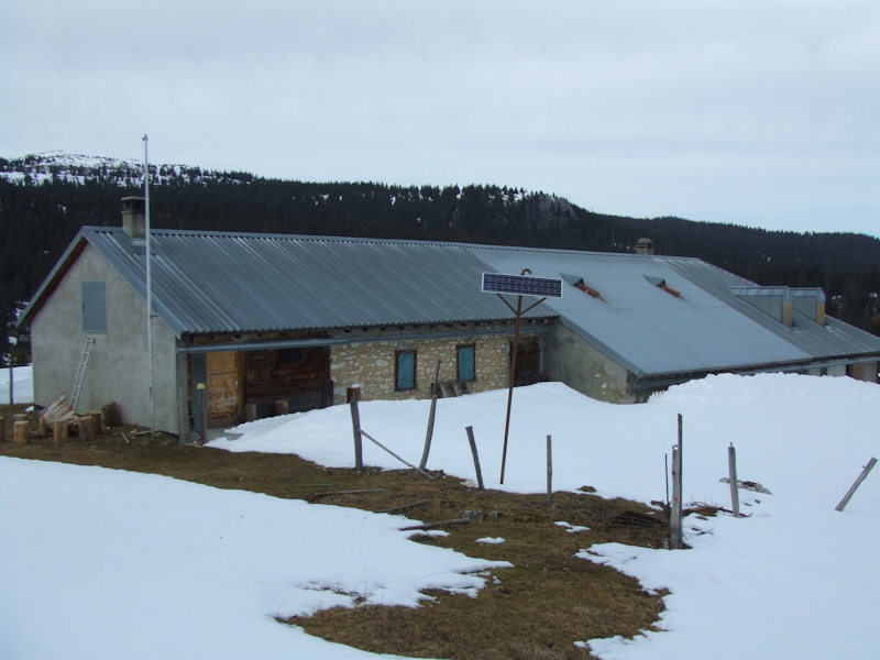
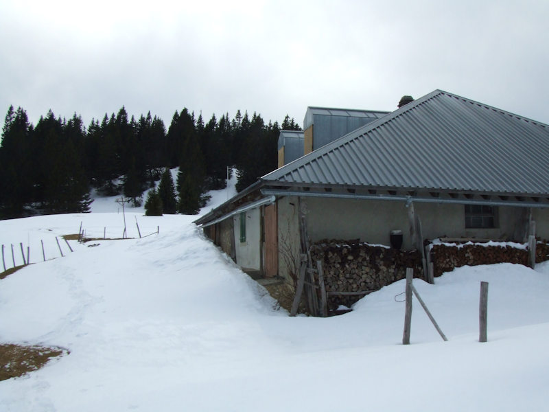
A little better weather on the
first of April 2007: Poisson d'avril.

The summit pylon on Mont
Tendre on the horizon
Looking southwestward back up towards the Crêt de Mondisé

The farm of Pré de Mollens, about 900m to the northeast
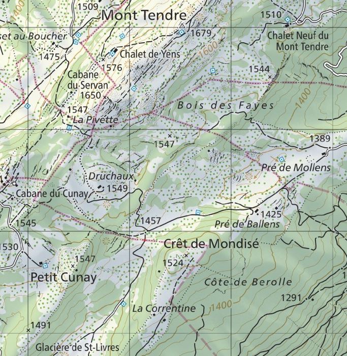
from SwitzerlandMobility (http://map.schweizmobil.ch/?lang=en)
 Feedback
and suggestions are welcome if positive, resented if negative, Feedback
and suggestions are welcome if positive, resented if negative,  .
All rights reserved, all wrongs avenged. Posted 5 August 2002, revised 3 May 2007, 12 January 2020. .
All rights reserved, all wrongs avenged. Posted 5 August 2002, revised 3 May 2007, 12 January 2020.
|