|
 Dwight
Peck's farm photos Dwight
Peck's farm photos
Farms
of the Jura in winter
The
Jura mountains run in a southwest-northeast direction along the border between
France and Switzerland, from Geneva (Genève) to Basel (Bâle), holding at about
1300-1400 meters altitude (4350-4500 feet), and peaking in the range of 1650 meters
(5450 feet). These photos of high alpage farms in winter are mainly from the southwestern
end of that range, between the cities of Geneva and Vallorbe.

Le
Sollier

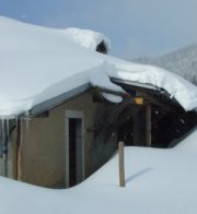
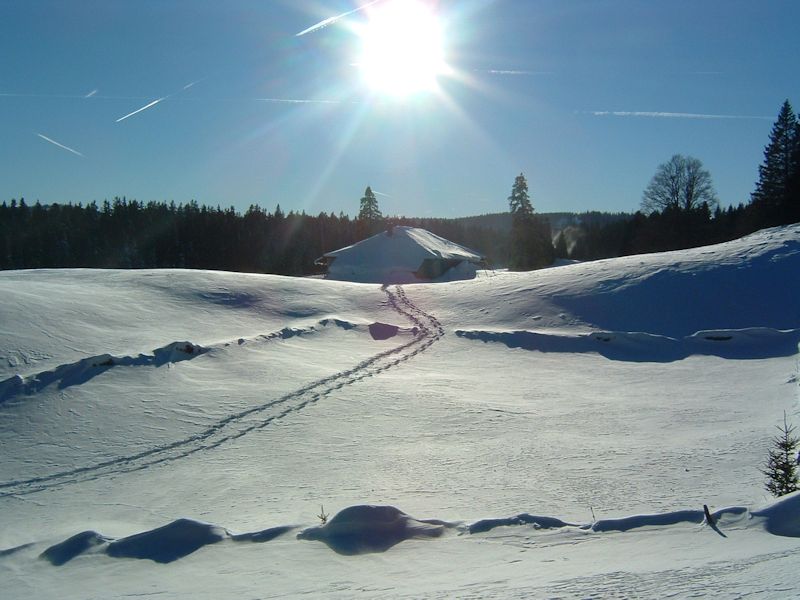
Le
Sollier farm (1290 meters) lies along the farm road leading
from the far side of the Col de la Givrine out towards Les Coppettes, about half
an hour on snowshoes. Here it is on 30 December 2003.
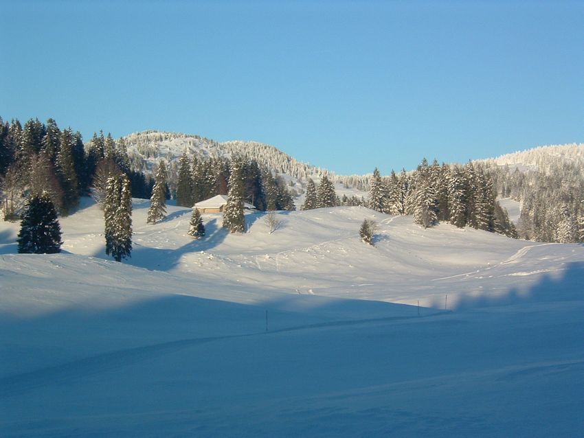
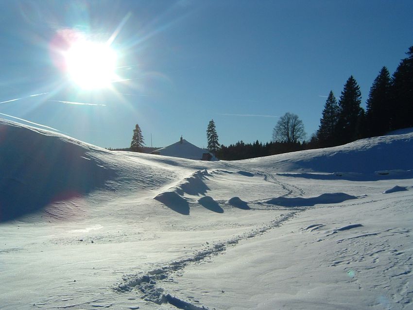
From the southwest,
10 December 2005, Le Noirmont in the background
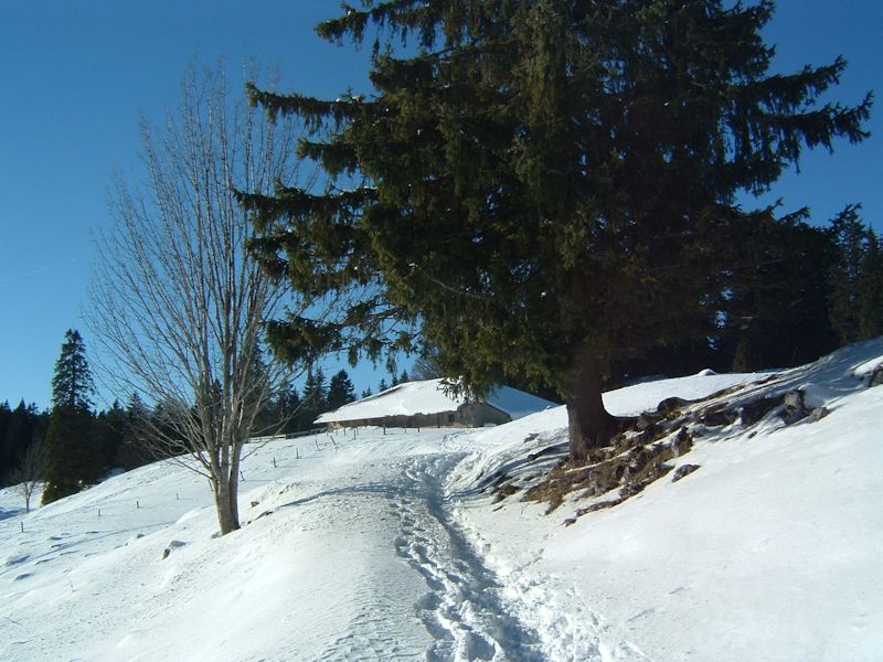
11
December 2005

Same
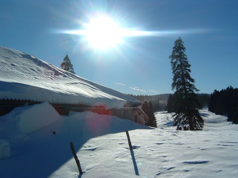

La
Dôle on the horizon
11
December 2005. A few more from the same day.

from SwitzerlandMobility (http://map.schweizmobil.ch/?lang=en)

22 March 2015

6 March 2016


6 March 2016
 Feedback
and suggestions are welcome if positive, resented if negative, Feedback
and suggestions are welcome if positive, resented if negative,  .
All rights reserved, all wrongs avenged. Posted 24 February 2001, revised 24 November 2013, 15 November 2016, 23 January 2020. .
All rights reserved, all wrongs avenged. Posted 24 February 2001, revised 24 November 2013, 15 November 2016, 23 January 2020.
|