You may not find this terribly rewarding unless you're included here, so this is a good time for casual and random browsers to turn back before they get too caught up in the sweep and majesty of the proceedings and can't let go.
Fresh from our adventures at the Nags Head 'interdunal ponds' in the 'maritime forest', we're psychologically compelled to balance that out with a serious sand experience.
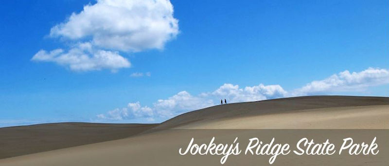
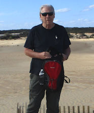
We're at the Jockey's Ridge State Park, 1 March 2022, newly rising from a picnic lunch (from the bratwurst man out by the roadside) here in the parking lot, and we're about to do the dunes, brimming with anticipation.
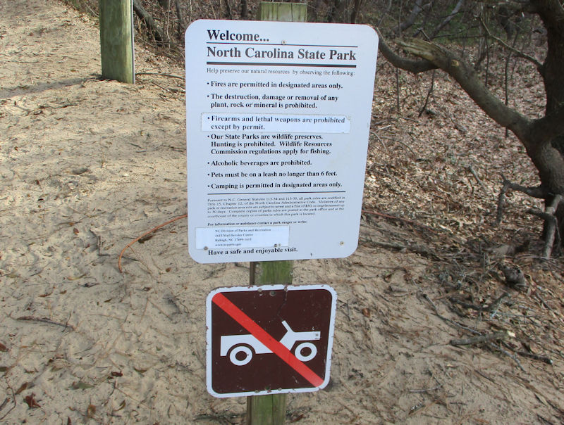
First, a look at the park rules, with one rule that begs a second glance: If 'Firearms and lethal weapons are prohibited except by permit' had to be pasted on over the sign, what was there before? No permit exception?
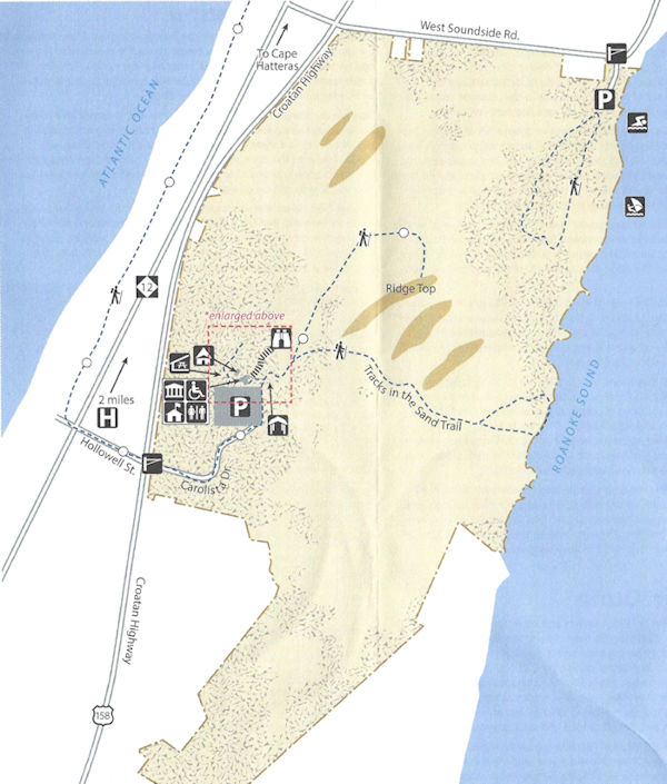
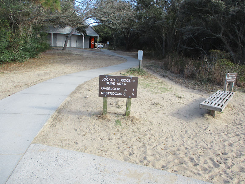
Here's a trail map of the park -- we'll limber up with a stroll out the short boardwalk, and then brave the trackless wastes; not trackless, literally, but very sandy.
The Foundation Story here is that in 1973 a local couple woke to find bulldozers setting about clearing the dunes out for another residential development -- they halted the dozing by standing in front of the machines and got the state assembly to apply for National Natural Landmark status in 1974. In 1975 the state with federal help bought it for a State Park, and Bob's Your Uncle.
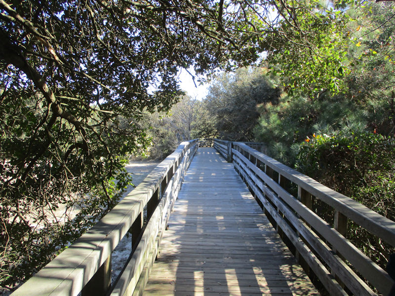
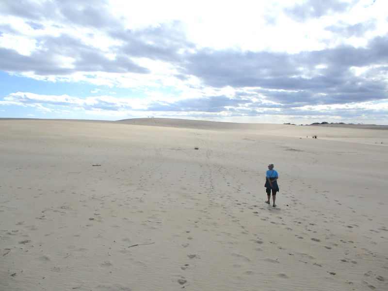
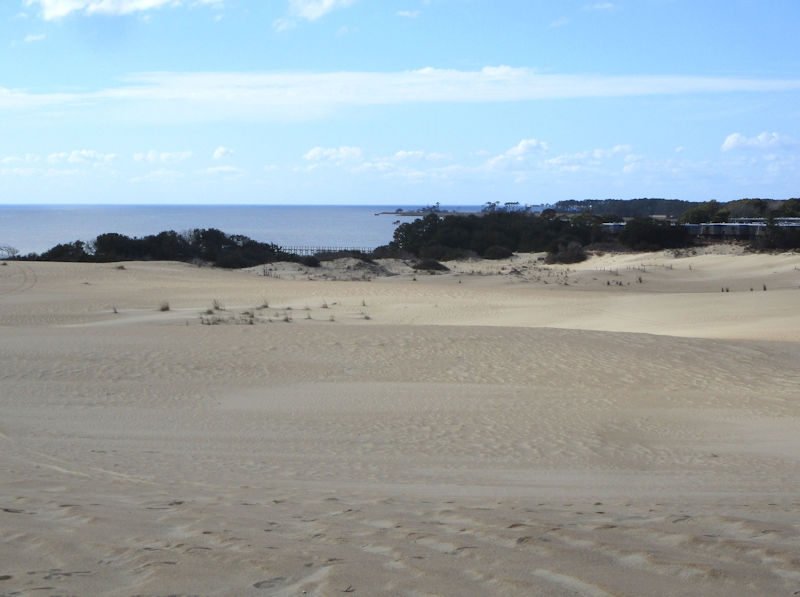
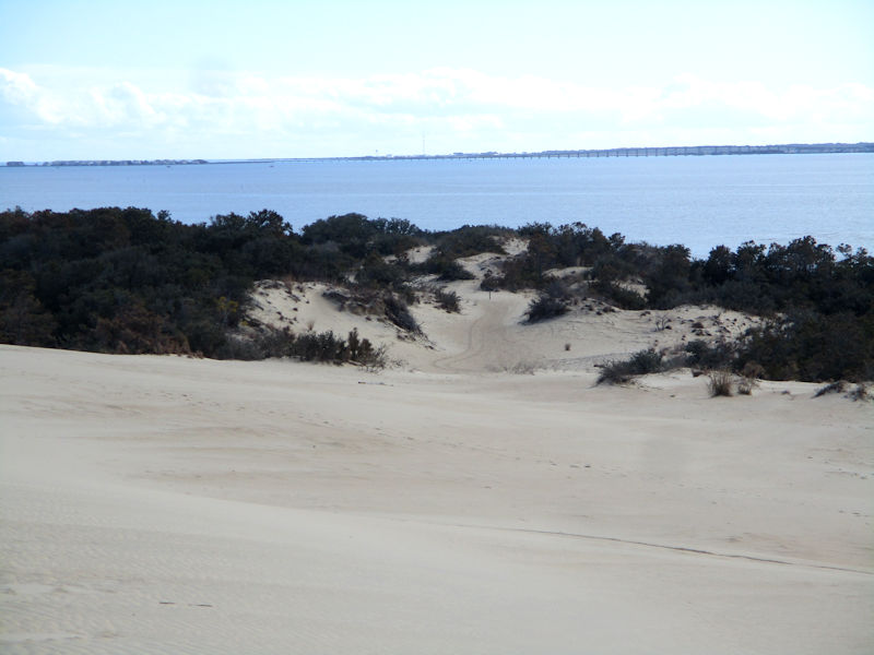
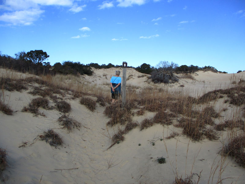
We've brought our books along, but this looks too good to pass up and besides there are no comfy benches on the boardwalk. We're informed that, somewhere beyond that vegetated preliminary ridge, there is the 'tallest natural sand dune system in the eastern US', with a height varying from 60 to 80 feet, and that it's got 'billions of grains of sand'. It's an example of a 'medano' -- big hills of shifting sand sans vegetation.
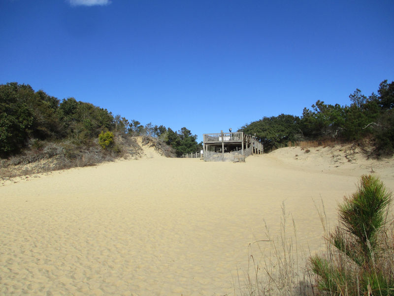
So we relinquish the security of the boardwalk, and take our chances . . .
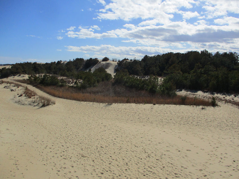
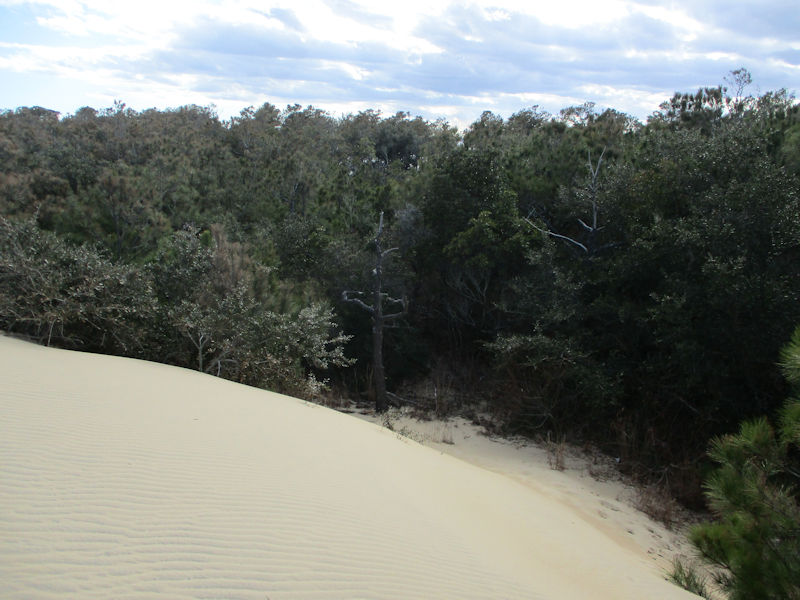
. . . over that first tree-strewn dune ridge, and now squinting ahead at what seems to be the Big One (here zoomed).
A line of trail markers. We defy them.
The park is also a destination for 'airborne activities', specifically kites and hang-gliding, the latter of which is 'regulated by park staff', wisely.
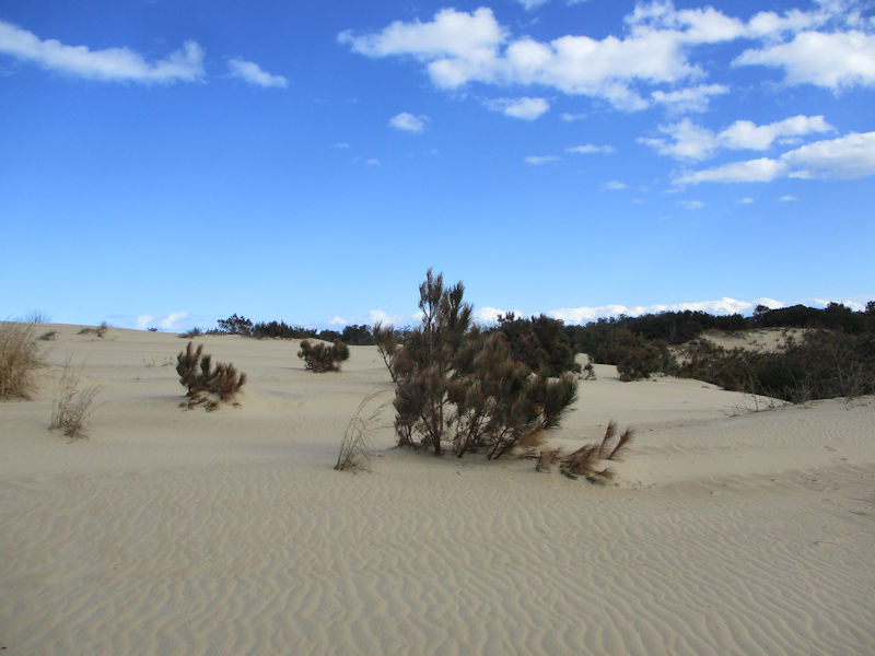
The last of the scraggly vegetation, as we . . .
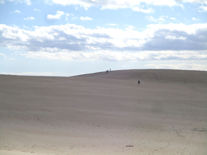
. . . go for broke. There are some tiny silhouettes in the distance, on y va.
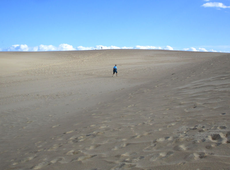
There's little consensus amongst our party as to the best way forward, but no worries, 'it's a free country' we've been told, frequently.
Our vistas as we proceed apace -- that's the famous Atlantic Ocean.
That is, too.
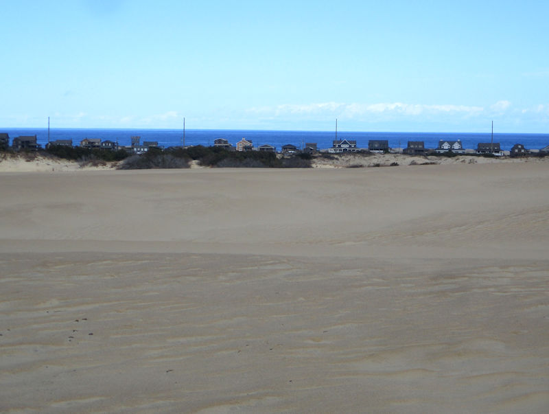
That's peeking southward along the oceanside Outer Banks.
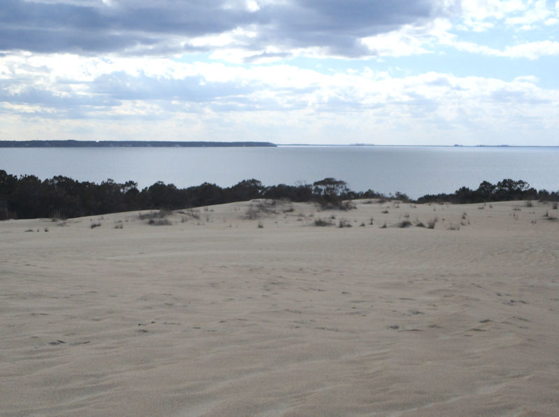
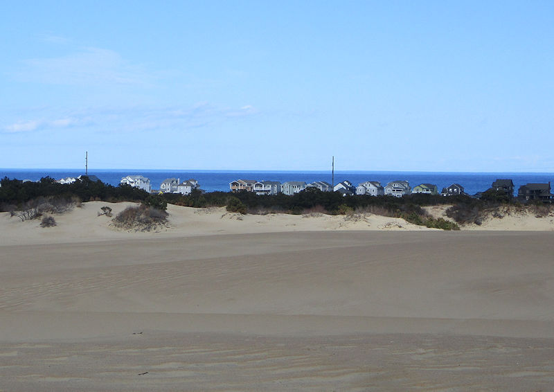
And that, contrariwise, is the Roanoke Sound on the other side of this jamboree of sand.
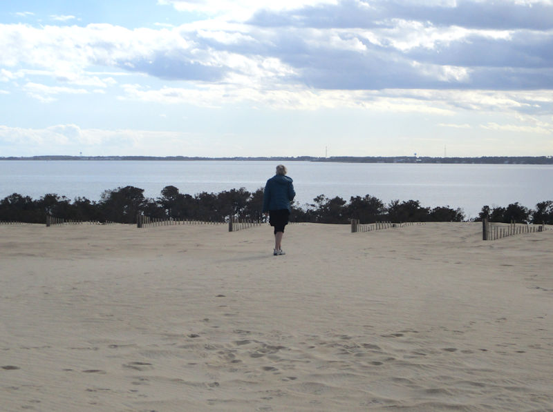
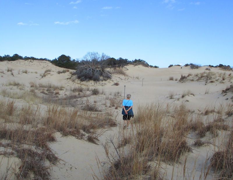
We've been preceded to the 'Ridge Top'; no conclusions to be drawn from that, both itineraries were almost equally good.
A persistent passerby
Facing west, towards the Roanoke Sound. (Tomorrow we'll popping over there to Roanoke Island and the Alligator River NWR on the mainland behind it.)
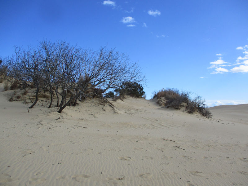
For the moment, though, we're exploring a way towards the far coast, and here's our first bad idea. (Getting back up that slidey sand slope would call for much younger knees.)
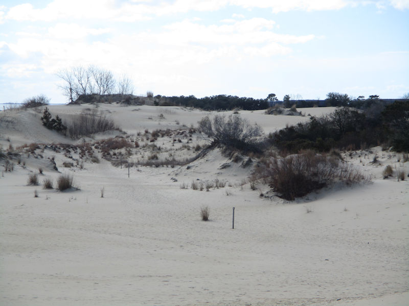
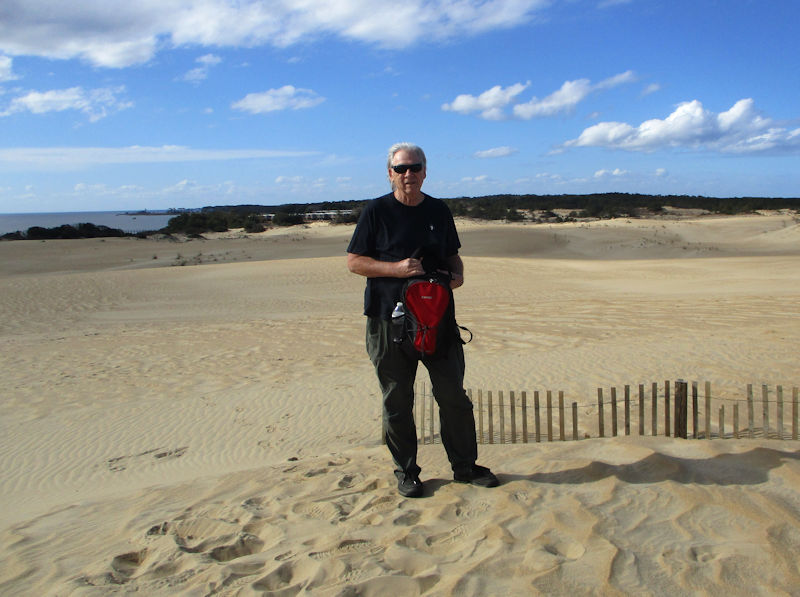
This way looks made for us, from the point of view of exploring all about.
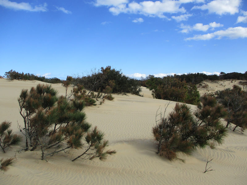
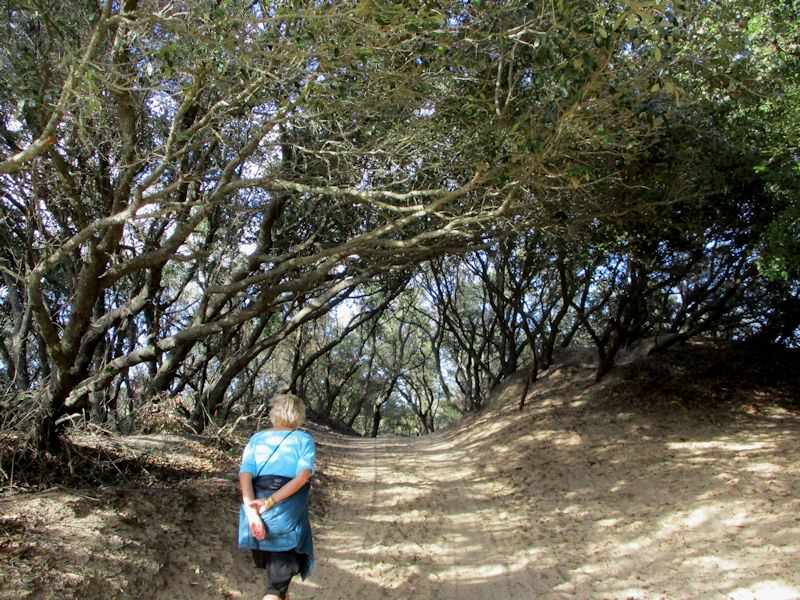
A rewarding experience -- a desolate and sandy sort of beauty. ('Desolate seeming', at least; there's a Brew Thru Jockey's Ridge shop ('Drive Thru Beverages') just back beyond our boardwalk.)
But our seeming-adventure almost turned into a bit of a real one, as we noticed that we're lost.
Happily, after wandering forlorn for a bit, we've come upon a promising trail sign, of which we will take advantage, in the hope . . .
. . . that it's going in the correct direction.
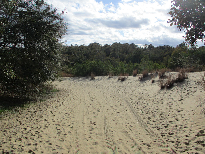
More encouraging signs of civilization
All looking good -- our carpark is just over the bump, with our car.
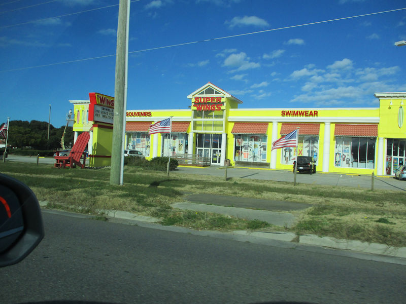
It's past time for another bracing look at a representative of the ubiquitous Super Wings chain. Very yellow, which in the right mood is good. And patriotic flags all lined up across the front of it.
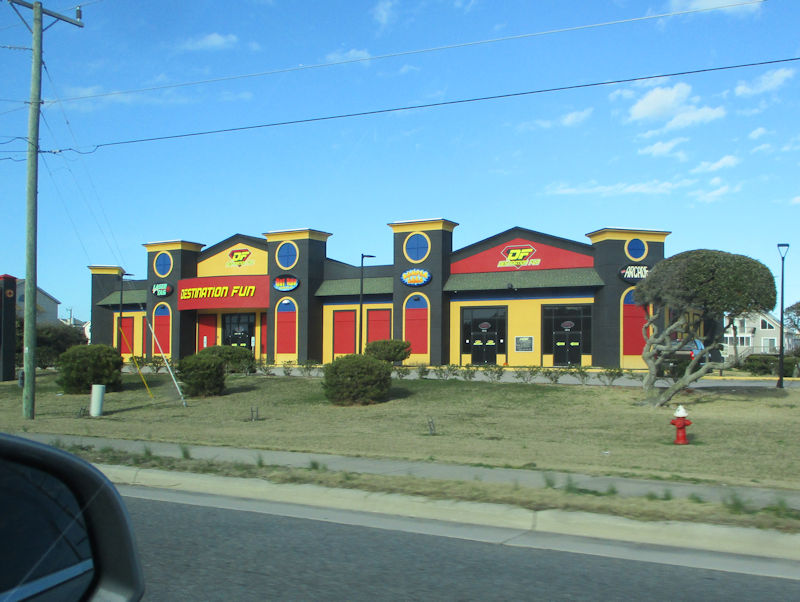
Route 158 is so full of exciting diversions -- here's a Destination Fun Zone; right across the street from OBX Scooters, Vapors, and Glass ('a vaporizer store') and adjacent to Bob's Grill OBX. A short hop along and we'll be passing Kill Devil's Frozen Custard & Beach Fries.
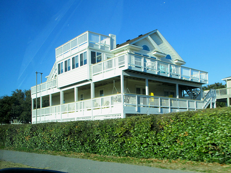
And this white-painted Beach Death Star
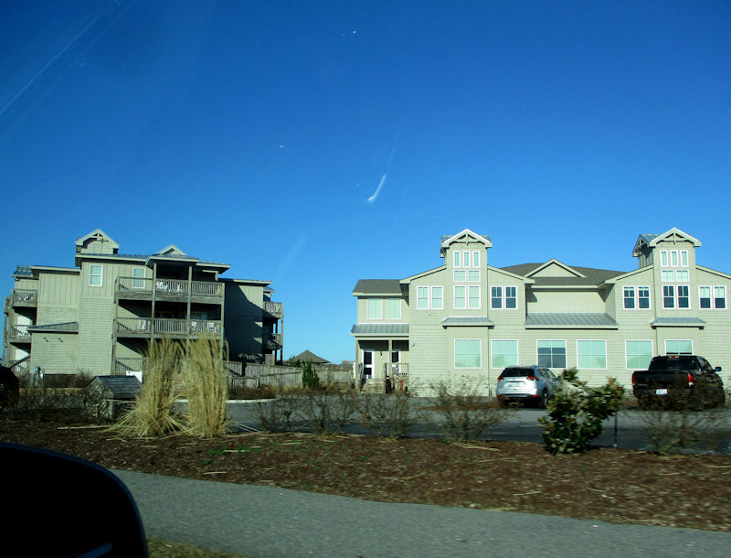
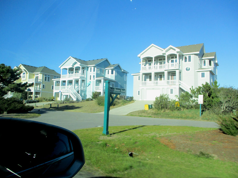
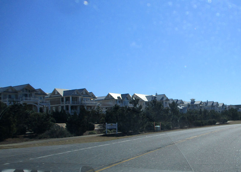
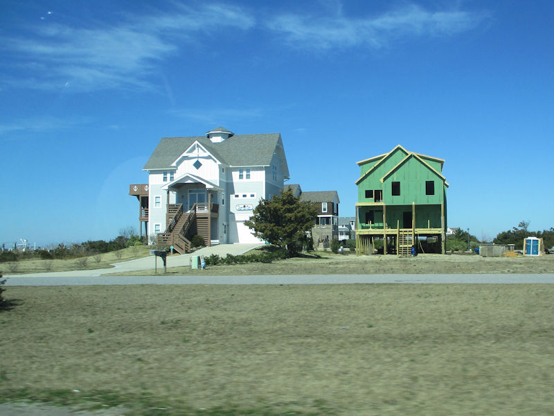
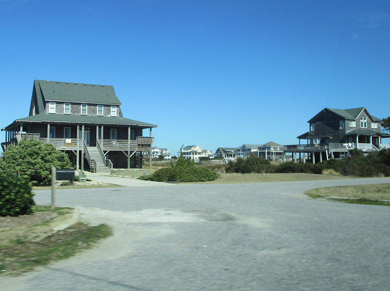
We're past Kitty Hawk now and heading home up Rte 12, with its beachside interminabilities.
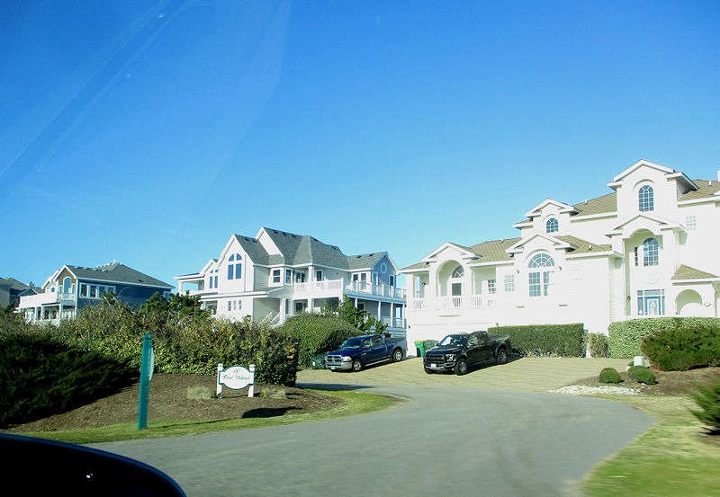
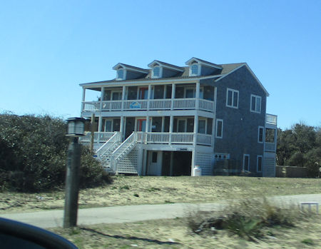
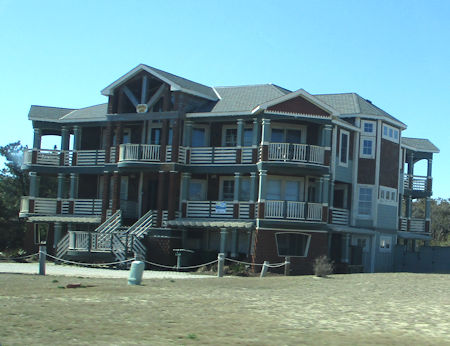
In any congregation of these things, some will have twenty identical designs in a row, side by side, and others will have different designs, as here, but will still look virtually identical.
See?
Choose the most beautiful building amongst these contestants. You can't.
But there are subtle differences, as least from the outside. And they're all effectively built upon stilts at the storm surge level.
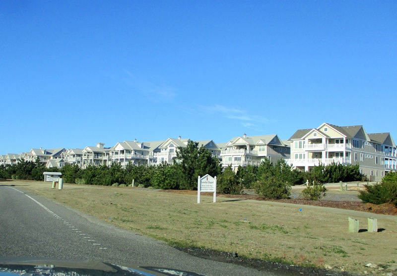
I find them a little bit fascinating, and wonder what they're like inside, though I'll never find out.
And, a little farther along, we'll be coming to our more modest home away from home, followed by dinner again at the Okinawa Sushi & Grill, as we couldn't anything else open. But it was fine.
Tomorrow -- Roanoke Island (and a bit beyond)
Sounds promising -- we're on our way south again to walk some of the nature trails, and possibly to see some genuine wildlife. 2 March 2022.
Back down south . . . towards Duck.
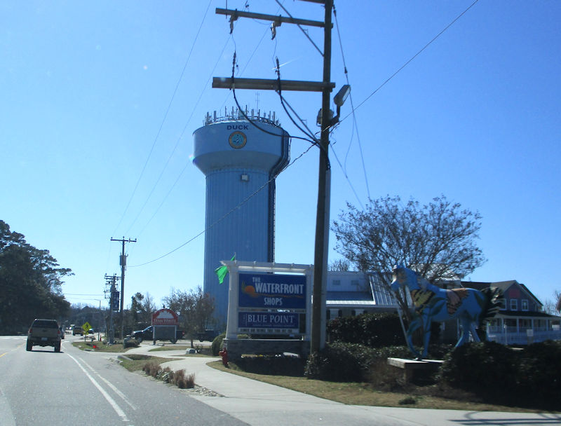
That's Duck. Or part of it.
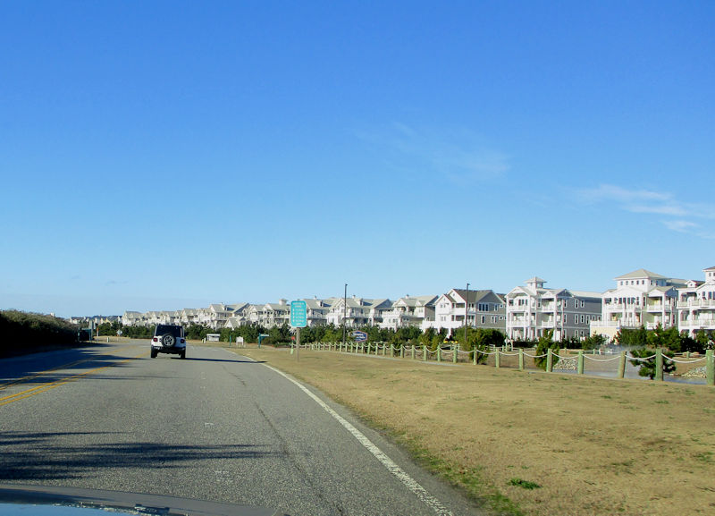
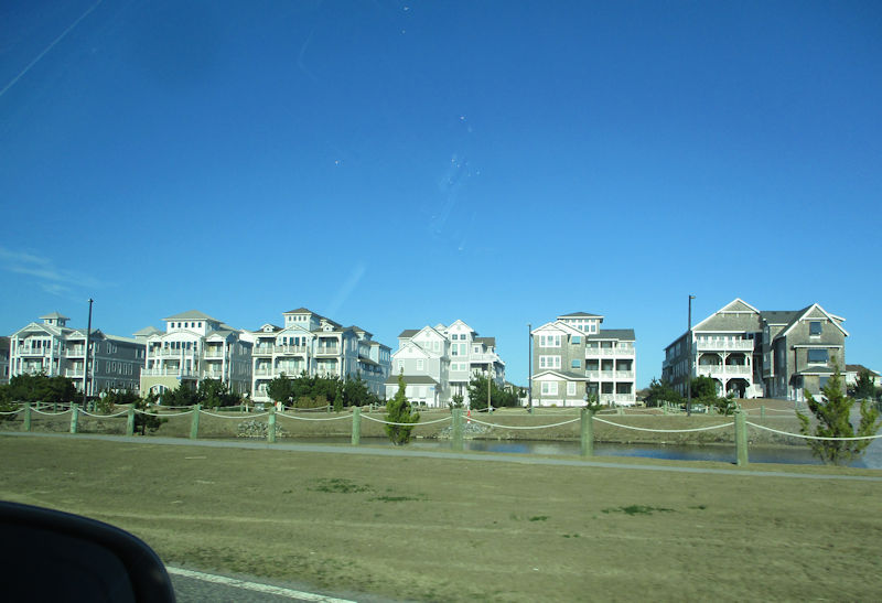
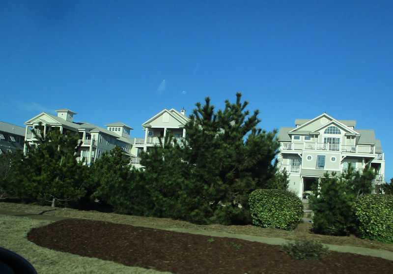
More vacation Death Star accommodations
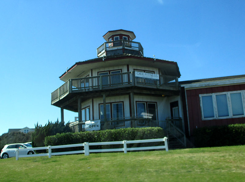
And the OBX Fitness Collective
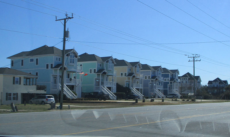
Perfectly identical, if we're not mistaken
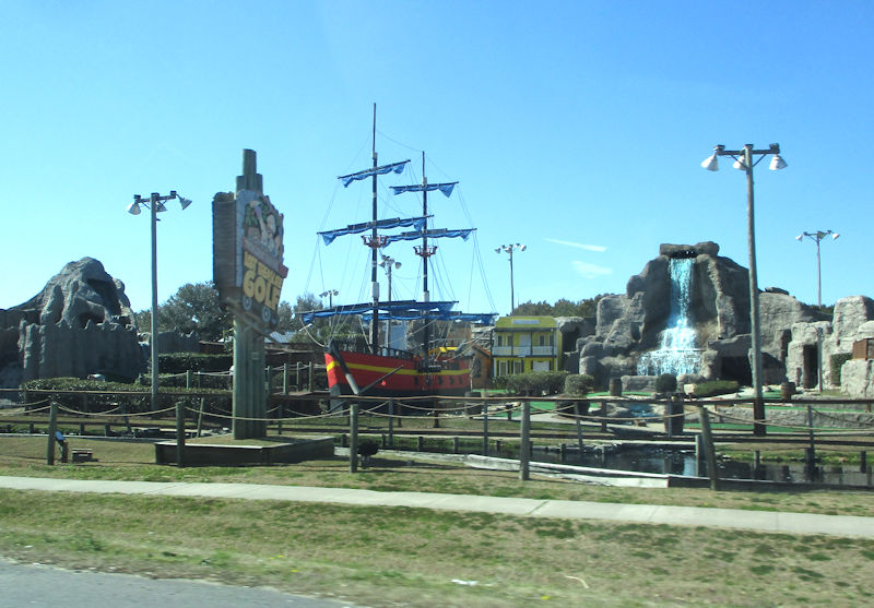
We're past Kitty Hawk again, and that wonderful vision is the Lost Treasure Golf establishment ('Two mini-golf courses with a train ride'). Sadly, it's not yet open for the season.
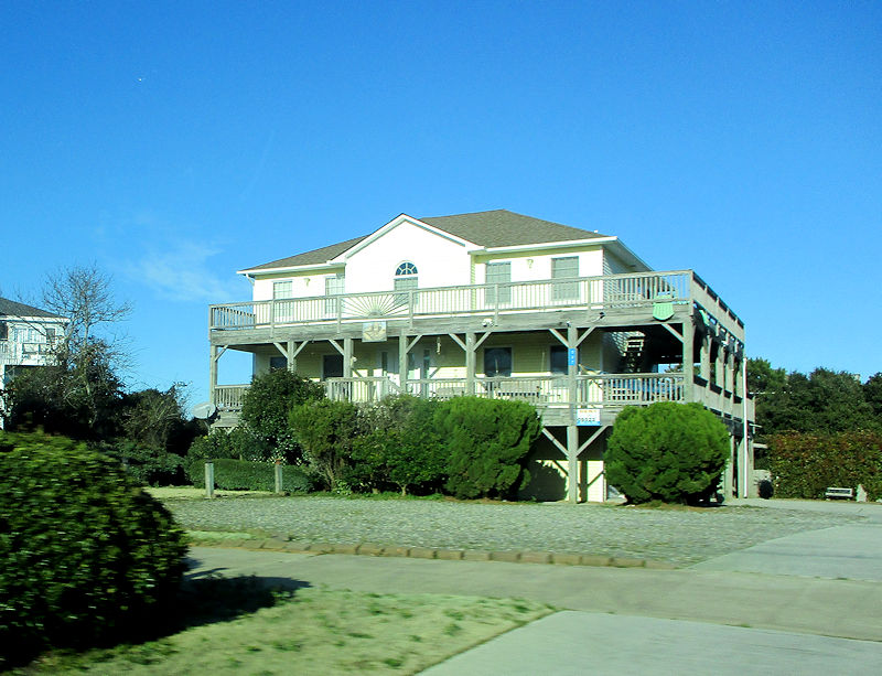
Someone's noticed a rare solitary home and hastens to move in next door.
Untold millions of visitors every summer, and accommodations ready for all of them.
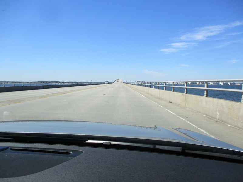
We're on Rte 64, bound for Roanoke Island. At the end of the bridge, Rte 64 will diverge up to the town of Manteo, around the north end of the island (including 'Fort Raleigh'), and across the Manns Harbor Bridge to the mainland. We, on the other hand, will stick with Rte 64 Bypass across the Virginia Dare Memorial Bridge directly for the mainland beyond and its various wonders.
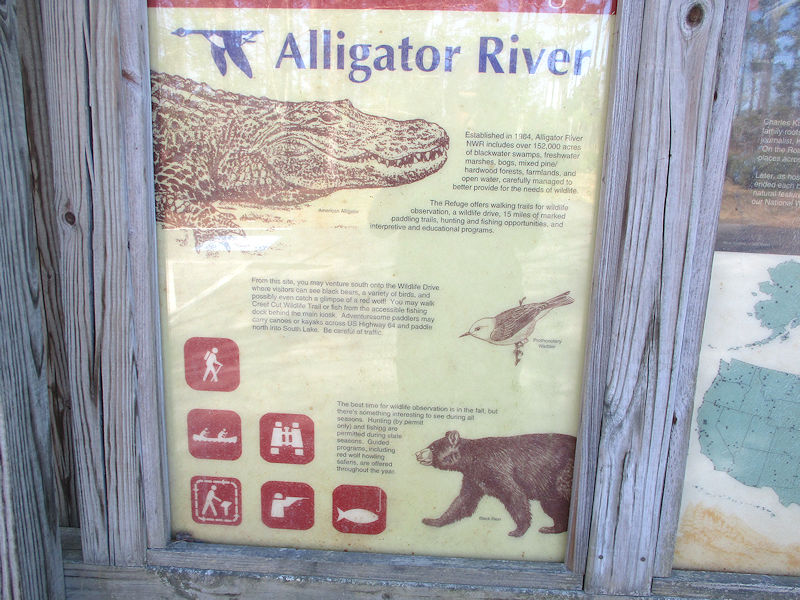
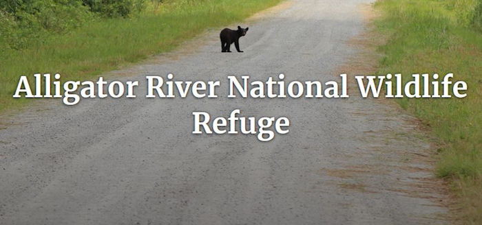
Oh give us break -- alligators and bears in one go! This is the Alligator River National Wildlife Refuge, '154,000 acres of mysterious wildlands and waters'. The NWR comprises the entire mainland part of Dare County NC, named for Virginia Dare, the first English child born in the Americas, August 1587, who had disappeared with the rest of the Roanoke Colony soon afterward. (Mentioned once in dispatches, and she gets her own county and a Memorial Bridge.)
Dare County includes most of the Outer Banks, from Duck (but not including Corolla) southward to Cape Hatteras, as well Roanoke Island and this mainland peninsula between the Alligator River and the Pamlico Sound. By total area, it's the largest of the state's 100 counties; by land area, it's way down at 68th.
The NWR has some areas for kayaking and quite a few unpaved driving roads for looking all about for bears, red wolves, river otters, etc., as well as a sizable Bombing Range ('roads may be temporarily closed because of military aircraft use of the range'). We're here, however, to walk one of the two short Wildlife Trails, specifically . . .
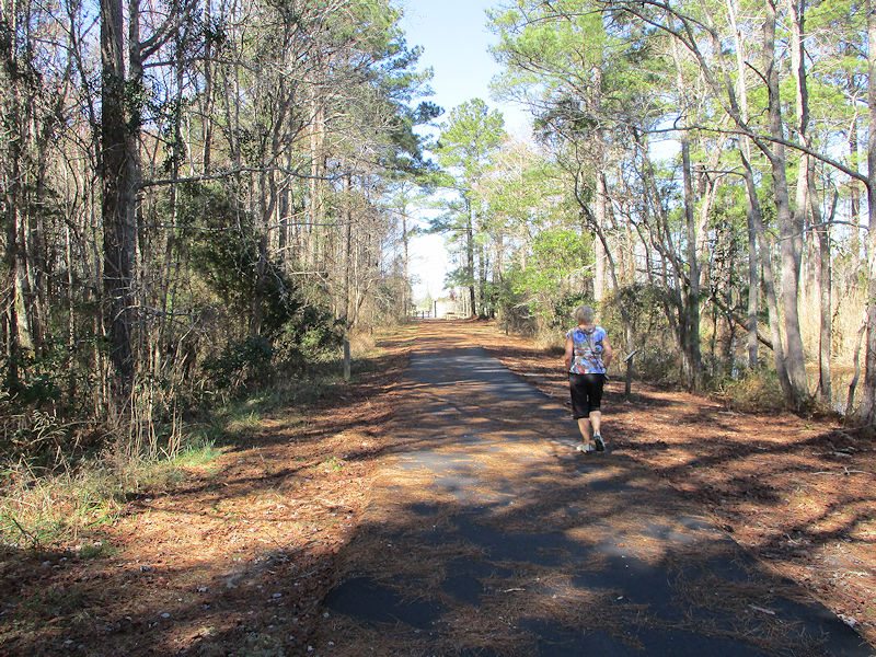
. . . this one, the Creef Cut Wildlife Trail. They must be kidding.
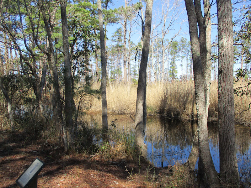
One is guessing that that's the Creef Cut?
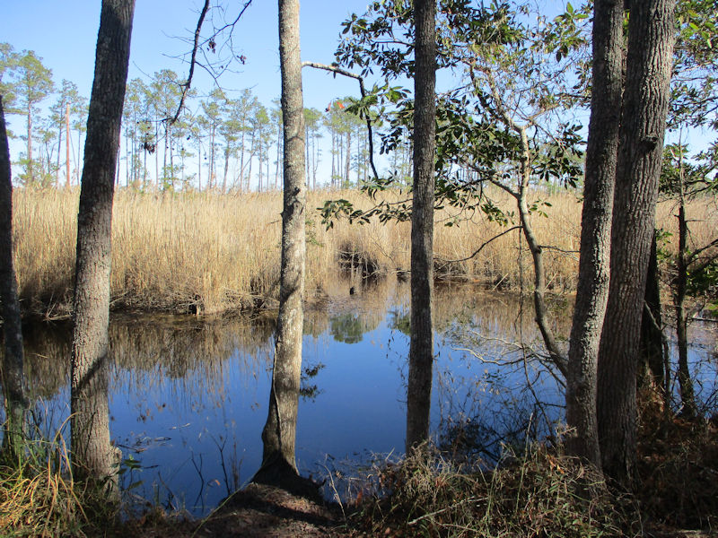
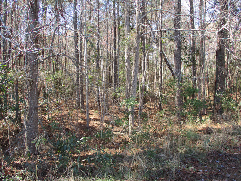
Maybe river otters skulking there; who knows?
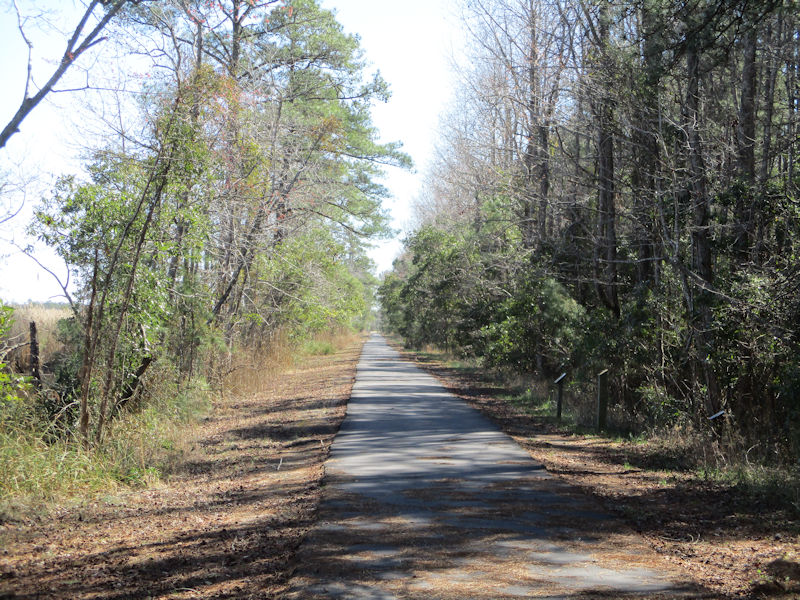
There is emphatically no way we're going to walk down this dead straight paved road and back again. Just hoping to see some Black Bears and copperhead snakes, or a river otter.
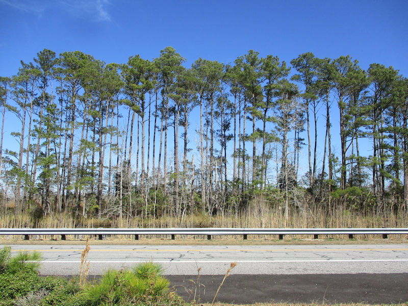
We'll take a quick look along the rest of Rte 64 through here, and then bolt back to Roanoke Island and the Fort Raleigh National Historic Site -- we can scarcely wait.
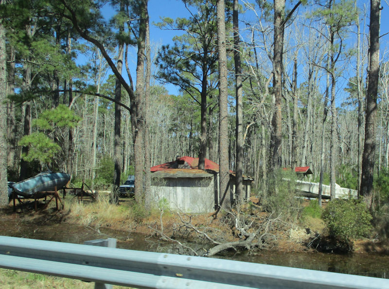
This appears to be a part of the thriving township of East Lake near the west side of the peninsula, population 88 or 147 ('all rural'), depending upon who's counting. (There are at the moment of writing this '2 Homes For Sale in East Lake, NC').
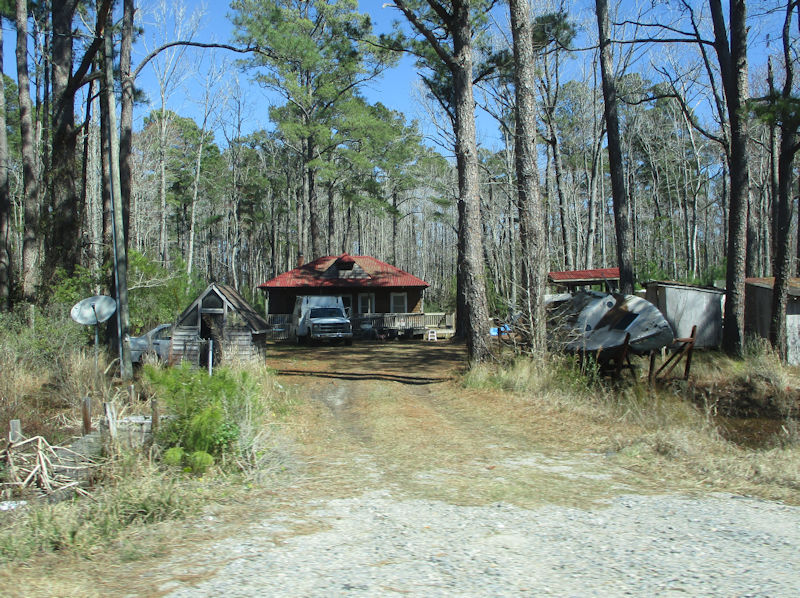
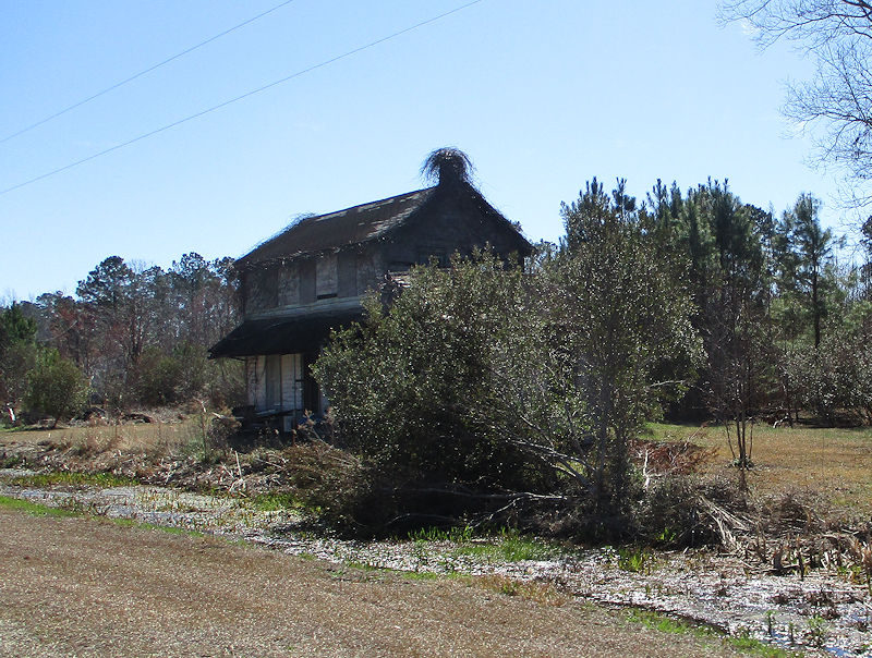
Could that be one of the two homes for sale?
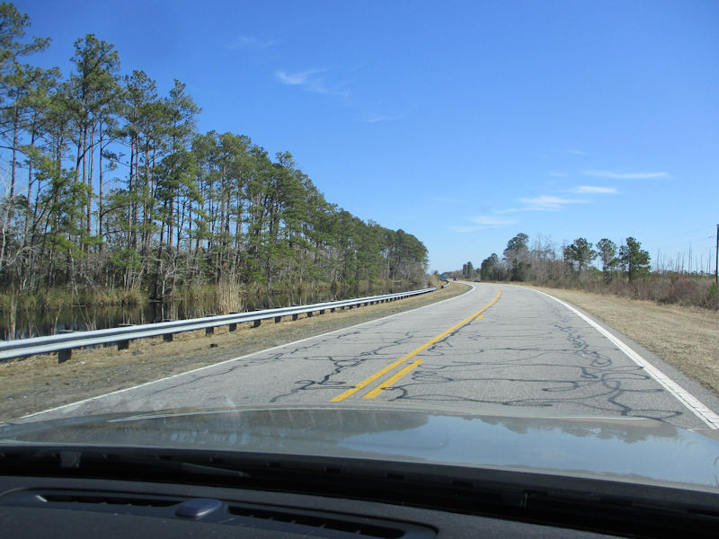
This is a beeline back to the bridge to Roanoke Island.
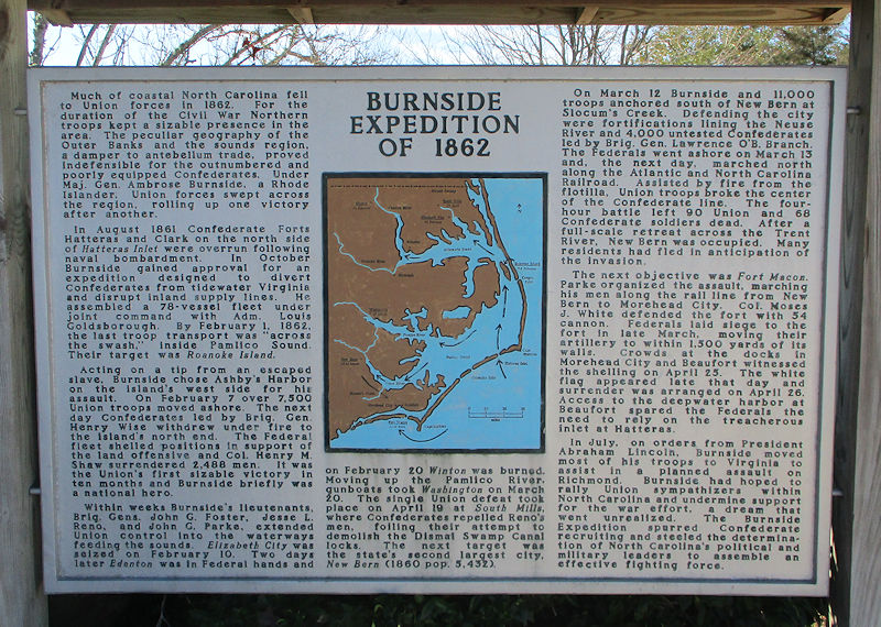
Back across the Virginia Dare Memorial Bridge, we're pausing at the splendid Visitor Center on Rte 64, before turning north up the island toward Manteo, the Dare County seat, and the Fort Raleigh attraction. And how enlightening this is! -- the Union army controlled most of the Outer Banks coast from virtually the earliest days of the Civil War, under the apparently admirable Ambrose Burnside, who invented the modern fashion for 'sideburns', 'an unusual facial hairstyle that connected thick sideburns by way of a moustache, but left the chin clean-shaven' (Elvis's were a little more subtle than that, Macron's are too). And we've always thought that the Feds didn't get properly moving until Sherman burnt through Georgia ( ).
).
Next up: Roanoke Island, NC: Manteo and 'Fort Raleigh'
 Dwight Peck's personal website