You may not find this terribly rewarding unless you're included here, so this is a good time for casual and random browsers to turn back before they get too caught up in the sweep and majesty of the proceedings and can't let go.
Melvin and Choupette are first out of bed to greet the new day. 1 March 2022.
(Sadly, they can only stare out through the screen. They're only cats.)

First stop of the day -- the very good visitor's center in Kitty Hawk, stocking up on piles of tourist brochures and asking the way to the Nags Head Woods Preserve

And here we are: The Nature Conservancy's Nags Head Woods Preserve, just off the S. Croatan Hwy (aka Rte 158), 1.5km southwest of Mama Kwan's Tiki Bar & Grill, the Plaza Azteca Mexican Restaurant OBX*, McDonald's), on Ocean Acres Drive, which ran out of pavement 3/4 of the way down. We're jurisdictionally in Kill Devil Hills, home of the Wright Brothers National Memorial, and the 'First Flight Airport', a few kilometers up the road, just south of Kitty Hawk, all of which we gave a pass.
* The OBX is a local crypto-joke; it just stands for 'Outer Banks' and appears on all local license plaques and in the full names of most business establishments.

An excellent visitors' center, locked up tight for the season, but no worries, we've already got all the correct brochures and trail maps.

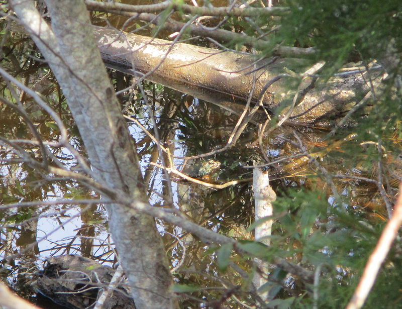
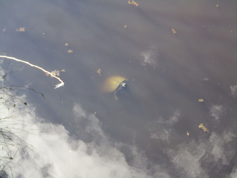
In addition to the fabled 'maritime forest', worth the price of admission itself (actually, it's free), the big attraction here is the Interdunal Ponds: a big line of 'ancient sand dunes' protects the 'swales' behind them, which are filled by groundwater and rainwater and just acid enough to turn them a disgusting green.

Ack! Disgusting.

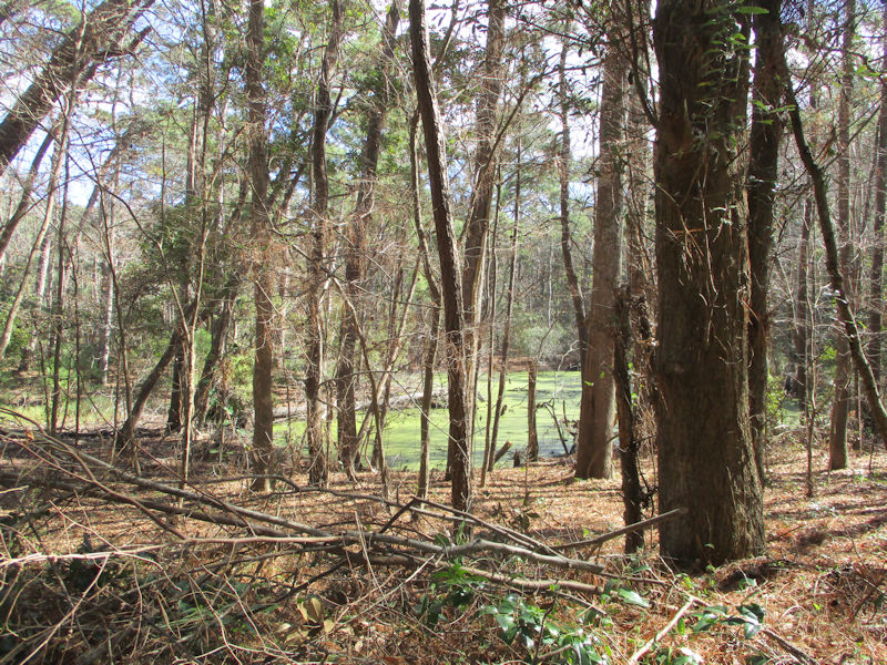
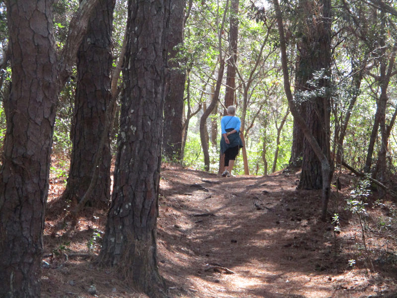
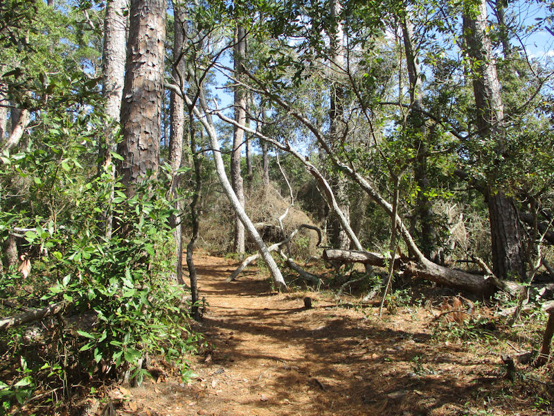
The Preserve covers 1,400 acres and boasts six marked trails, covering eight miles in all (not us -- we're covering about three). This is Trail #4, the 'Discovery Trail', nicely manicured for us.

Here's a 'fishing platform'; that's good to know. But moving on . . .

Sun's out; coats off; trousers rolled up.

If we are to believe the brochures, and we always do, this is 'the largest maritime forest on the East Coast'; it's a honor just to be here.

We've been promised (by the brochure) 'more than 300 species of plants and 50 species of birds'; aside from trees all over the shop, we're still waiting for the rest of it.

There's another interdunal pond.

And we might be prepared to lay money on those being 'wax magnolias' -- very useful for many purposes, we've learnt from a later interpretation plaque.

We're dropping down now onto Old Nags Head Woods Road (which Google Maps insists upon calling Old Soundside Road), which ends our journey along Trail #4 and beckons onward to Trail #5 just across the roadway.

At the head of Trail #5 (the 'Roanoke Trail') we discover a very old family cemetery (the 'Isaac Erb Tillett Cemetery': Google Maps), though 'Tillett Cemetery' makes more sense, since there are about 30 deceased people in here, including a couple of two-week olders).

Here's one for a 'Capt Samuel Tillett' (1798-1876), who was the son of a Thomas Tillett (1762-1829) who with his Native American wife planted the family's presence here for the next several generations. His headstone is here, too, and his wife's, but we didn't notice them.
We were not supposed to be in here, wandering round and deciphering old headstones, but the sign declaring the site off limits is over at the far side, after the exit.
This is indeed a very beautiful forest. But we're informed by a 2021 interview by Kip Tabb with the 84-year-old descendant of the Tillett family, Rad Tillett, published in the newsletter of the Coastal Review, the news service of the North Carolina Coastal Federation, that during its long life the Tillett family farm (and presumably others nearby) was entirely unlike the present scene.

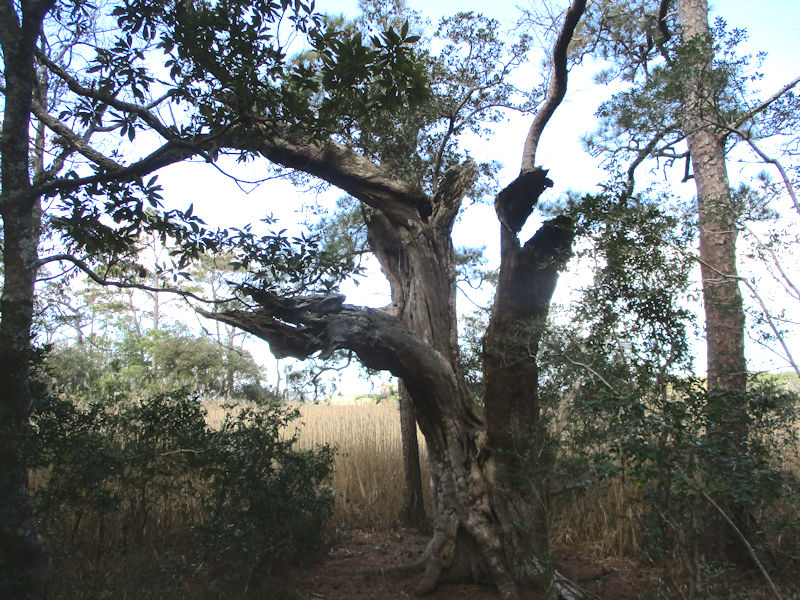
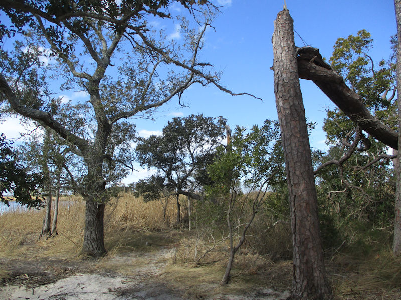
Now at last we're getting into some serious Quercus virginiana countryside -- feeding our growing obsession with these weirdly deformed 'live oak' putative trees.

Rad Tillett, who was here during the last days of the farm, recalls that 'It was all open, these trees weren’t here when I was little. . . . It was good farmland. They raised everything — butchered the cows and pigs, salted a lot of it and then smoked it. . . . This whole place would be pasture. It went five acres down to the water.'

Later, he recalled, 'When I come along, he just had two cows and a bull, just a little to keep him going.' But the farm was still functioning, it seems --
Mr Tillett remembers that his grandfather, called 'Mr Erb' from his middle name, would drive a horse-cart into Nags Head in summers, for the early tourist trade, to sell his potatoes and vegetables.

There are probably 15 of these interpretation plaques along the path, all hooked up by a cellphone number to a set of audio presentations, explaining many aspects of the 19th and early 20th century lives of the Tillett and other families who eked out a living down here.
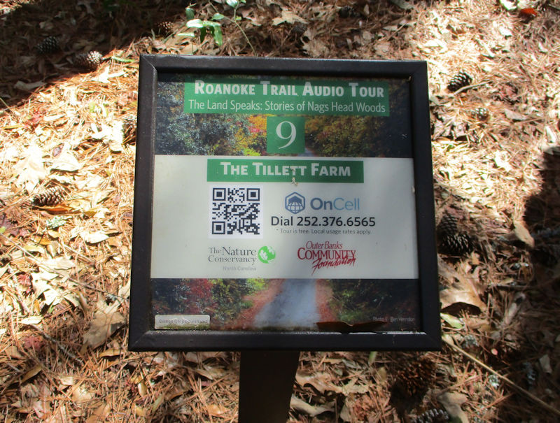
Like this one. The free audio commentary Roanoke Trail Audio Tour ('The Land Speaks: Stories of Nags Head Woods') is provided by The Nature Conservancy and the Outer Banks Community Foundation and also features 'oral history' testimonies of some of the people who, like Rad Tillett, remember what it was all like in the old days.

Subjects include the Tillett family themselves, social relations, food sources (it wasn't all trapped possums), children's games, home life, how they got round (by cart and by boat, mainly, including periodic trips on the weekly mail boat up to Norfolk or wherever to bring back a bag of salt and other necessaries).

This was the site of a late version of Tillett family home -- only a few bricks are left of it. But it was a fairly large house, two stories and with outbuildings including a barn, an apparently separate kitchen, a pigpen, a dugout 'potato house', and so on, all to accommodate Rad's grandfather's family's twelve children, with a water pump in the kitchen and another on the front porch. No electricity. (And no wi-fi!)

Rad Tillett's grandfather Mr Erb died in 1948, his wife five years later, and the property was sold off, to cousins, Rad believes, who were looking for a summer home. 'But vandals broke into the house and ultimately burned it down. “This was just such a shame,” Rad said.' The Nags Head Woods subsequently became a National Natural Landmark in 1974, now managed by The Nature Conservancy.

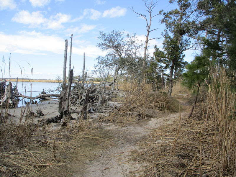
We're soon to be emerging out of the woods to . . .

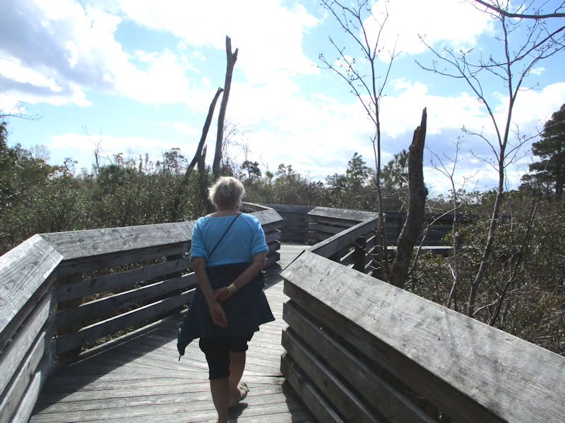
. . . an open marsh, with a helpful boardwalk, benches for a rest if required, and an interpretation plaque with a dial-up to the Roanoke Trail Audio Tour.

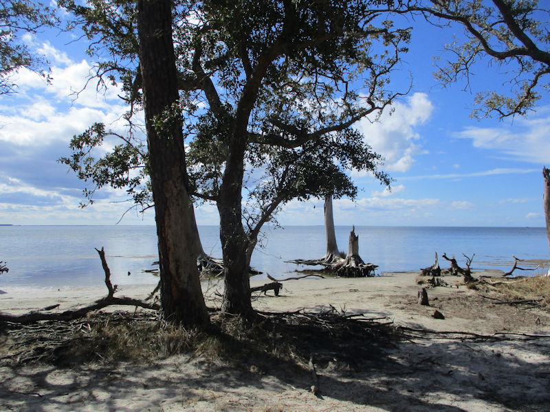
Looking out at the Roanoke Sound about 150m to the southwest . . .

. . . and a line of skeletal trees near the edge of the Nags Head Woods

Well rested on the boardwalk bench, we continued through the last bit of Woods to the present coastline.
With more of its arboreal atrocities

Stark
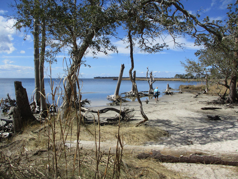
From Kip Tabb's interview with Rad Tillett: 'That white sand went all the way out there. You can see the trees have died. There was more oak here,” Rad said. “When I was little, it was 60 feet or 50 feet farther. And white sand. Oh it was a nice one, a nice beach.”'
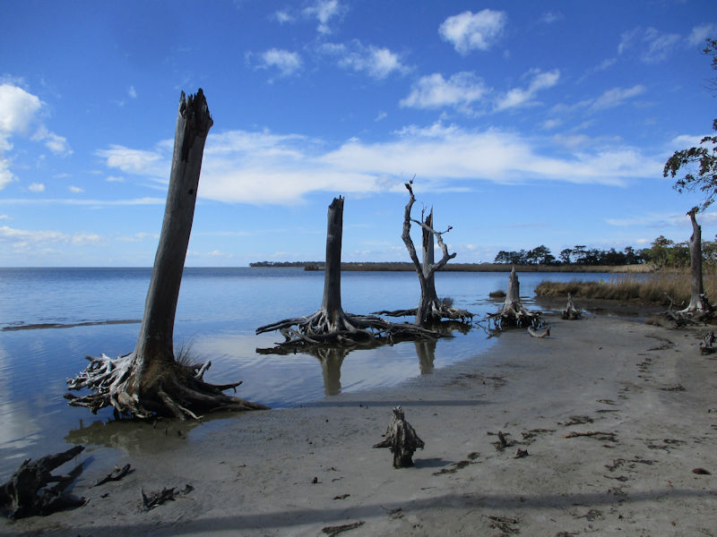
Like military coastal defense obstructions.
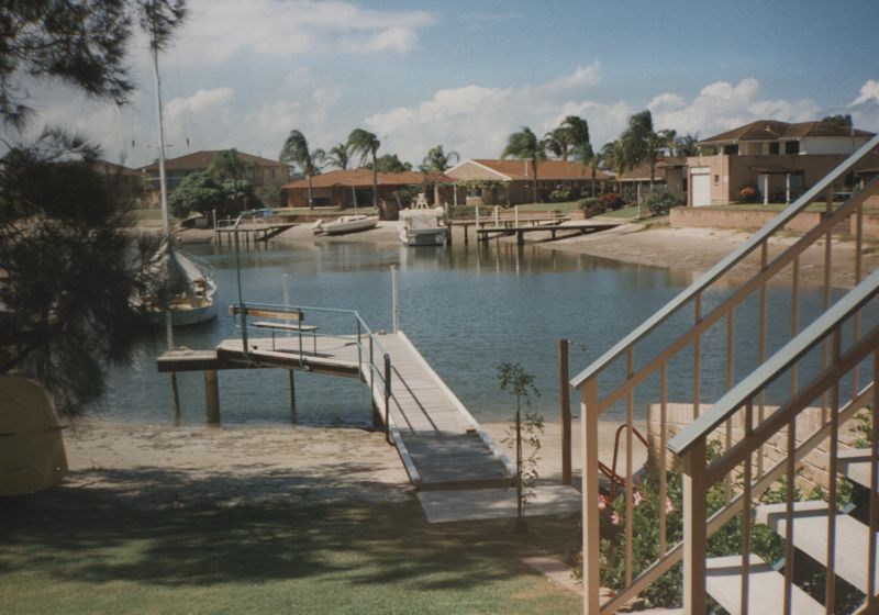
The green point on the farthest horizon is, according to Google Maps, Colington Island off Kill Devil Hills with a huge 'canal estate' of hundreds of suburban-style houses, each with access by road and also by canals brutally carved out of the landscape for boating enthusiasts to create a monument to destructive affluent excess.
Helpfully, Kip Tabb also has an article in Coastal Review about this 'second Roanoke' of Colington Island, which was colonized beginning in 1663 by agents of Sir John Colleton, a royalist officer in the British Civil War given it by the restored Charles II though he never actually came here himself. The article describes the history of the settlement but only describes its present condition thus: 'The island is almost entirely residential'.
But back to the matter at hand -- Oh joy, here's another nice bench for resting on. We'll stay a while.

Beach scenes with many ex-trees


It's a pretty amazing natural architecture, bare dead trees all lined up as if in a parade.
Not even to mention the writhing 'live oaks' (Quercus virginiana)

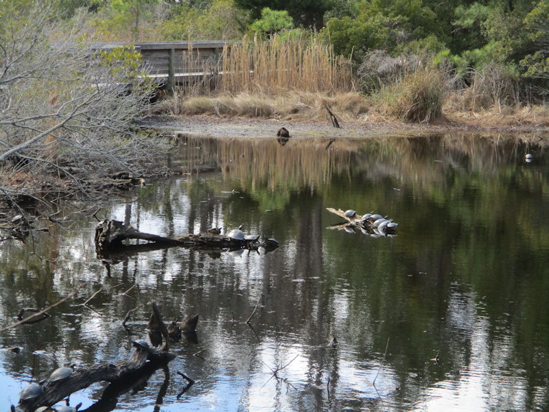
Next up, we're progressing a short way down the Old Nags Head Woods Road to Trail #6, called the ADA Trail (the Universally Accessible Trail, Americans with Disability Association), and what do we encounter almost immediately?

-- A turtle! It's wonderful, just sitting there, oblivious, all alone, meditating.
-- Right, well, just turn around.
Yikes
It's like a Turtle Conference of the Parties (COP).

There's at least one solitary meditator.

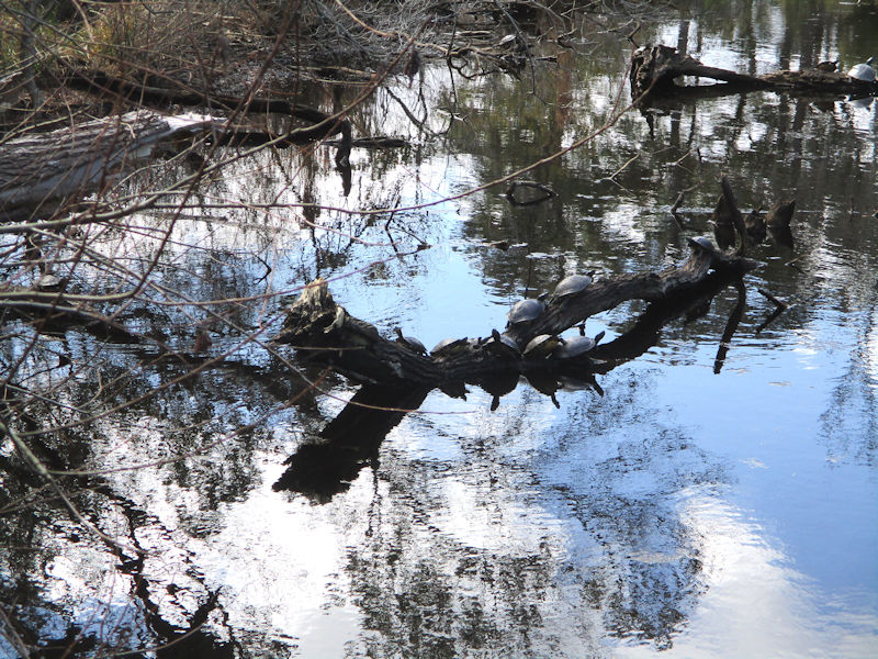
We're trying to count them, for record-keeping purposes, but it's not going to be possible.
We forgot to count this one. Assuming he's still alive.
 Dwight Peck's personal website