|
 Dwight Peck's personal website Dwight Peck's personal website
Summer
2005
Iffigenalp
and the Rawilpass
We're
back at Iffigenalp and this time we're really going to walk up to the Rawilpass.
Really.
You
may not find this terribly rewarding unless you're included here, so this is a
good time for casual and random browsers to turn back before they get too caught
up in the sweep and majesty of the proceedings and can't let go.
It's
12 August 2005, and we've come once again to lovely Iffigenalp determined to walk
up to the Rawilpass or bust. Whatever "bust" may mean in this context.
The present narrator had fun here back in the early
1980s and ran from here over the pass and down to Crans-Montana a few times,
way back when, but was breathing so hard at the time that he scarcely remembers
what he saw there.
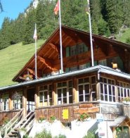
Did
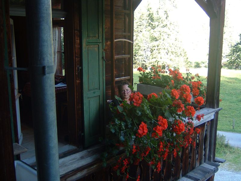
I mention Iffigenalp? Here's a fine, low-cost mountain restaurant and "hotel"
(1584m), when we visited here in July 2004 and trotted on up to the Iffigsee.
(See that here.) Now we're back again for more extravagant
fun.
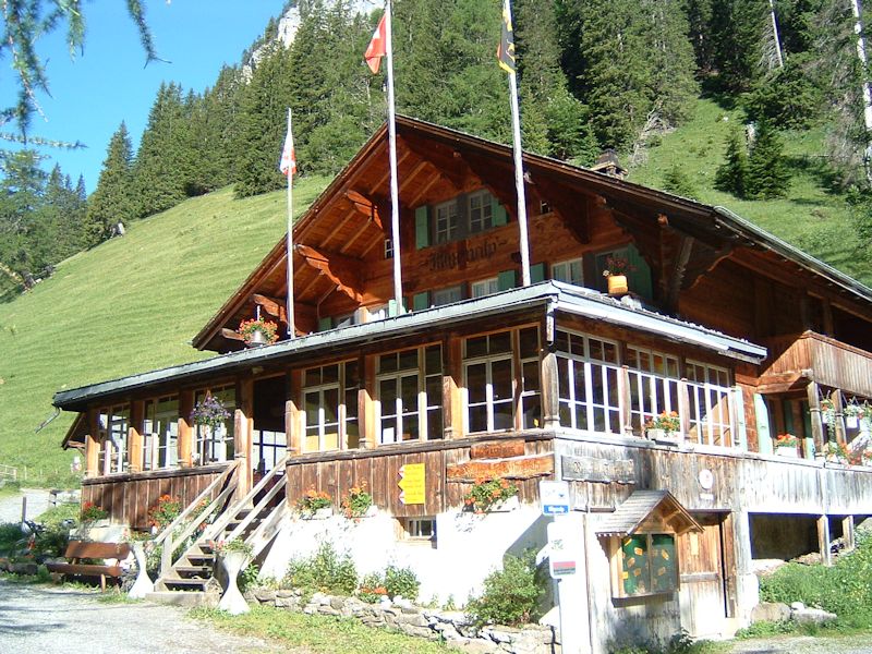
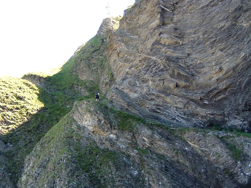
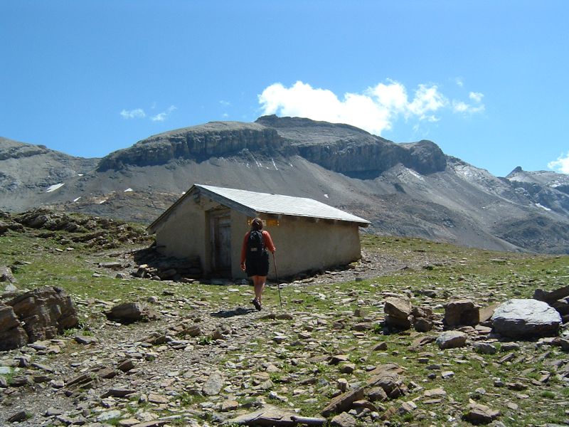
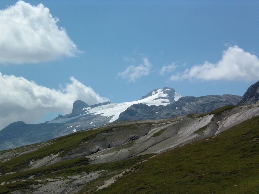
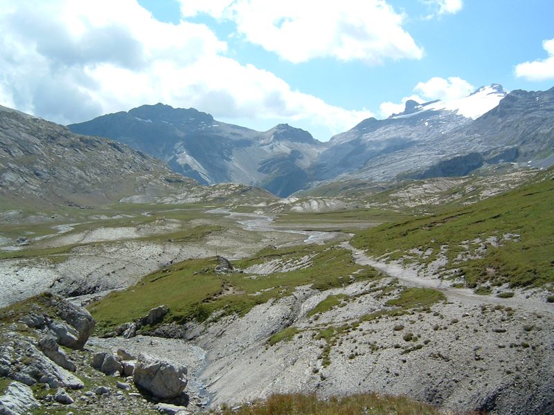
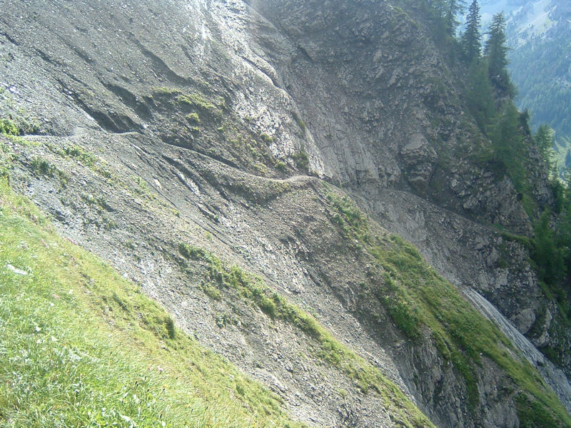
There's
the Rawil wall, seen from near the hotel below. Our path to the Rawilpass snakes
up from the hotel at 1584m to the Blattihütte in the col on the horizon at
2029m and then launches itself off southwards to the Rawilpass at 2429m. We've
got our sandwiches put up for us by the hotel -- Let's get a move on!

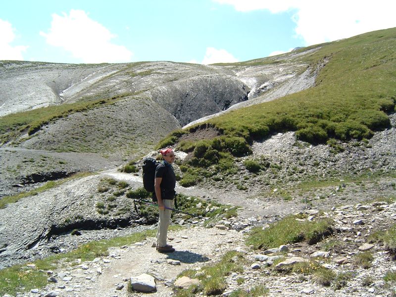
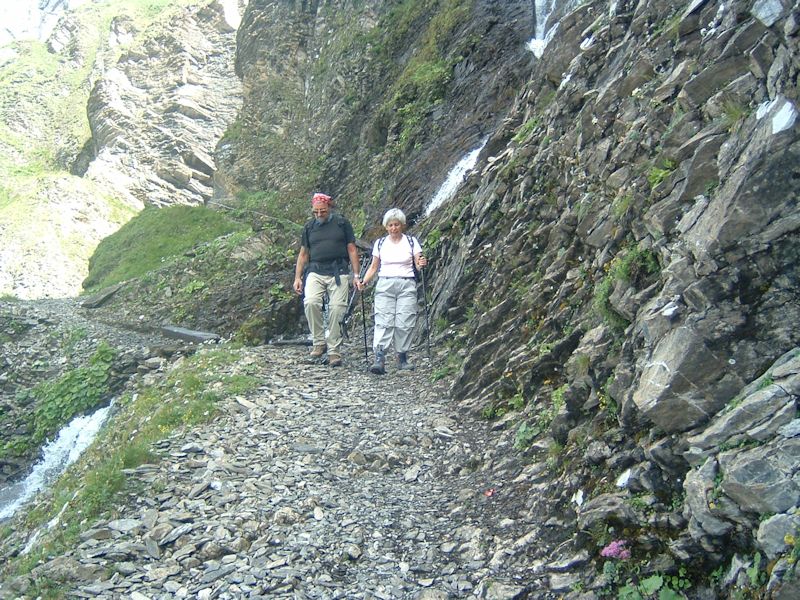
We've
left the hotel and we're marching on a fine day up the "Geiss-rabel",
a long cone of landslide debris that will get us up on to the Rawil cliffs.
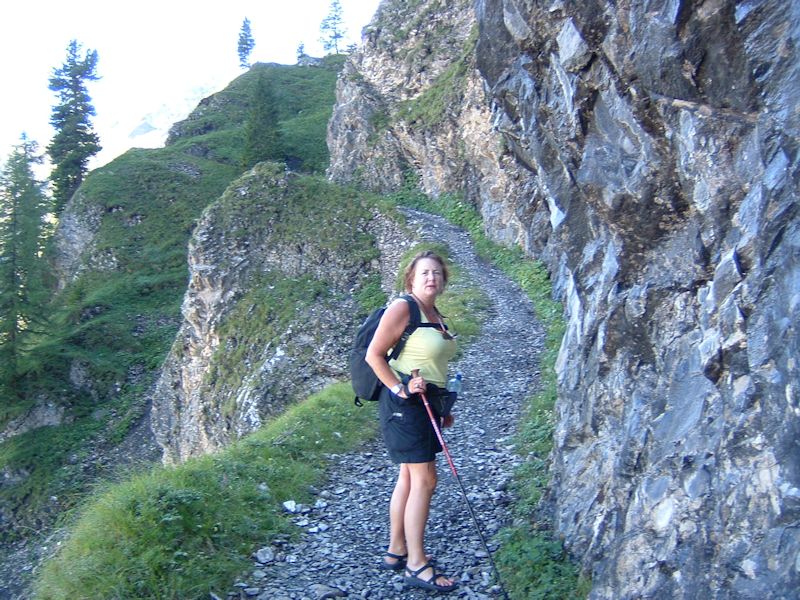
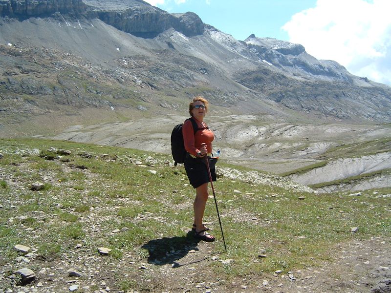
Kristin
awaits stragglers in the party as we start across the Rawil path, following the
tire marks of two boys who arrived at the hotel, having just ridden their mountain
bikes down this path, as we were starting out. Kids Nowadays!
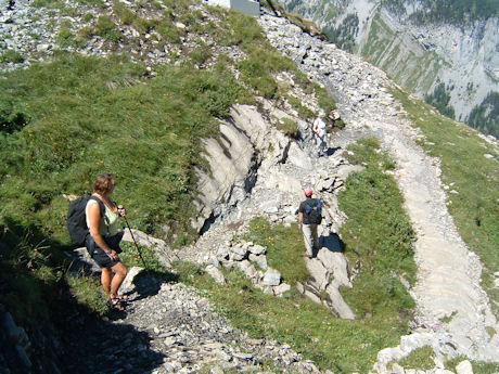
Kristin
checks back regularly to make sure all of Us Kids are keeping up.
The
hotel below, seen from the land of shadows.
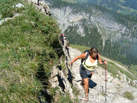
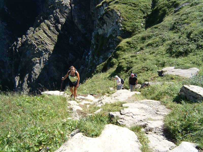
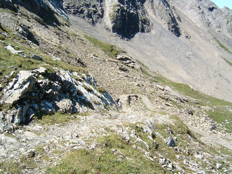
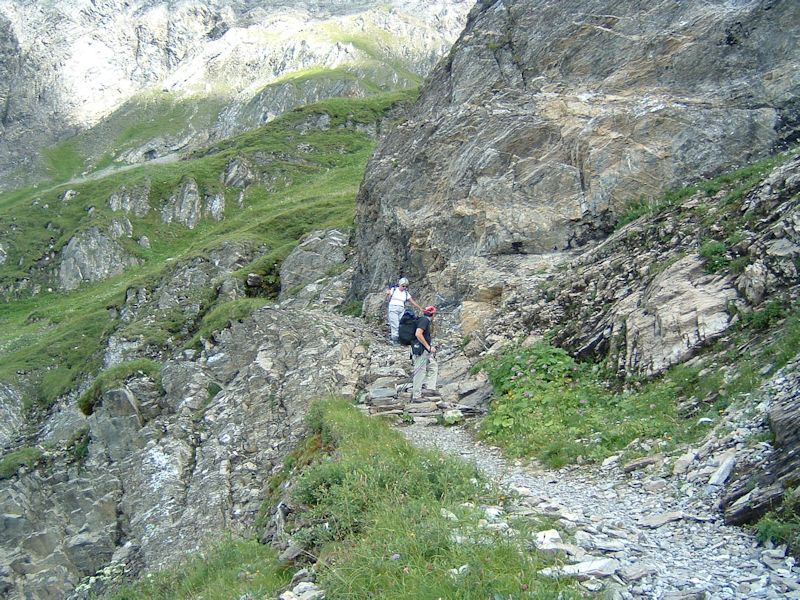
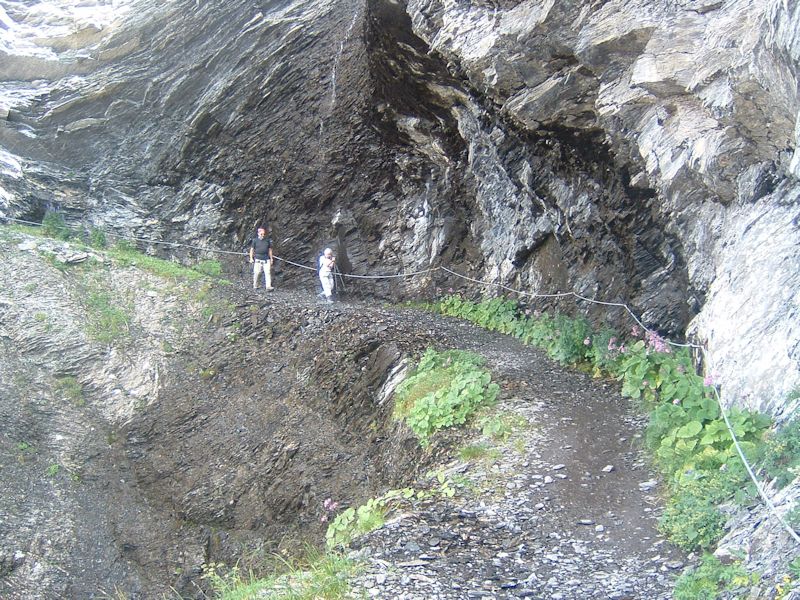
We're
plodding up across the cliffy thing, observing the mountain bike tire braking
marks from the two boys who've just come down the path.
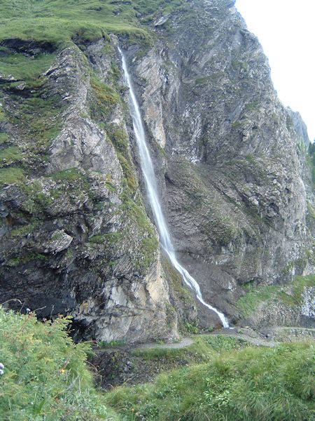
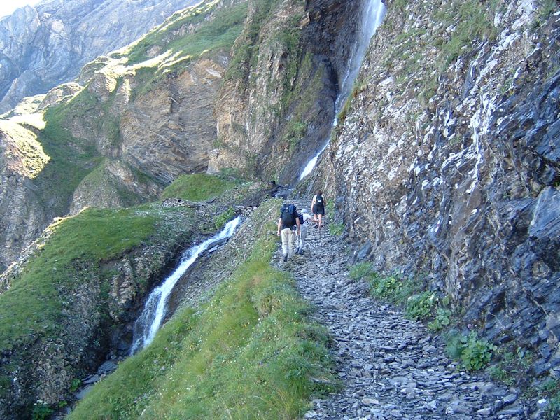
Joe
and Teny pause for a moment to dry out from the waterfall.
Kristin
darts ahead to scout for game.
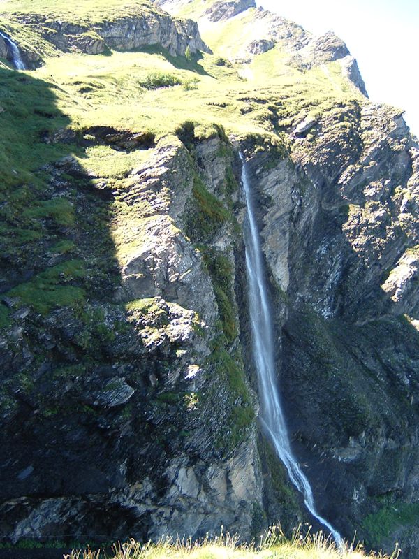
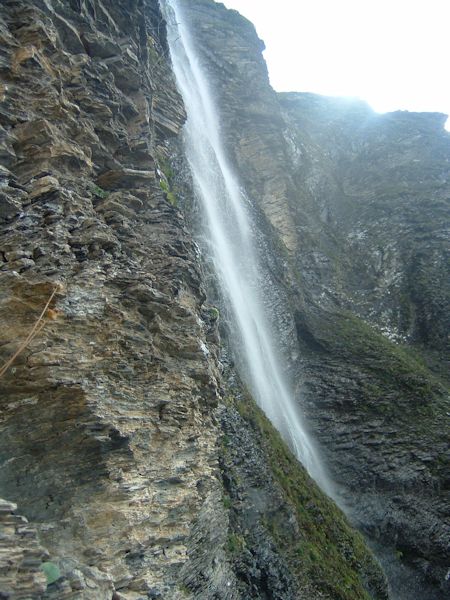
That's
a cute little creek, from which we are still semi-soaked, that will soon join
the
Iffigbach at the foot of the cliffs, and a while
later join the Simme near Lenk, and then mix it up
a bit in the Lake of Thun before joining the mighty Aare as it flows westward through Bern (and recently flooded Bern thoroughly) to the
Lac of Biel (Bienne) (with a humiliating little spell through the Canal of Hagneck,
near Aarberg, where it's a slow-moving kind of bilious green) -- and then WHIPS
around eastward again through Solothurn (Soleure), gathering attitude as it approaches
Aarburg (not Aarberg) and Olten, and finally -- having started out westward --
far to the east and north of here it slides greenly into the Rhine.
From which it turns west to Basel / Bâle and then, oh well, you know the
rest.
Kristin
taking a moment to gaze toward the Rhine, in the direction of Rotterdam, Copenhagen,
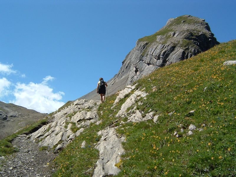
etc.
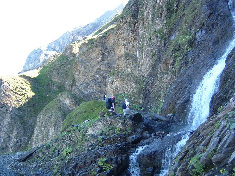
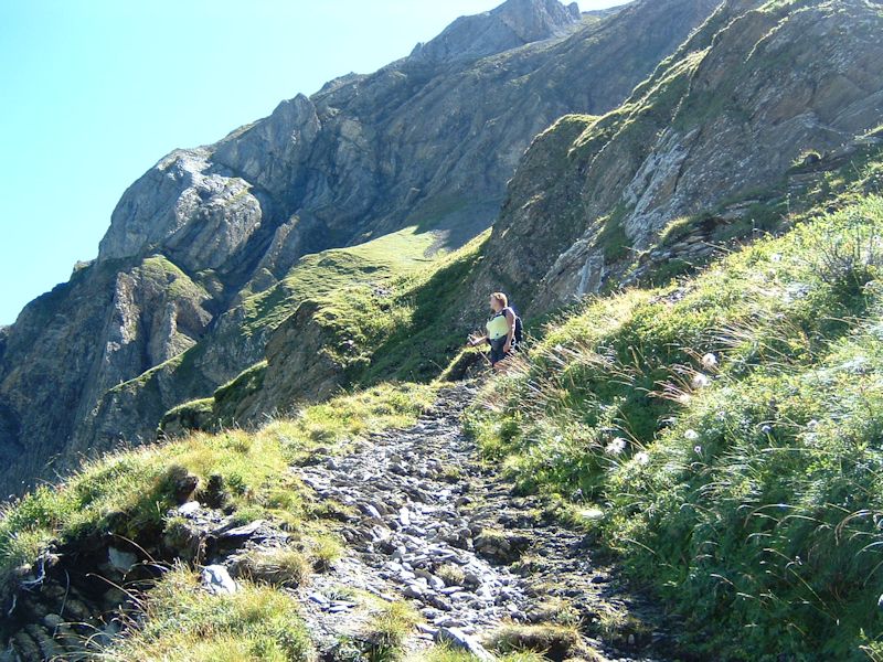
We're
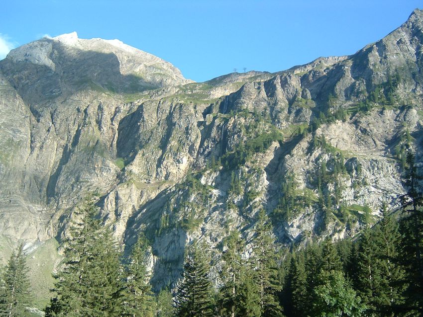
approaching the top of the wall, soon to confront the famous Blattihütte.
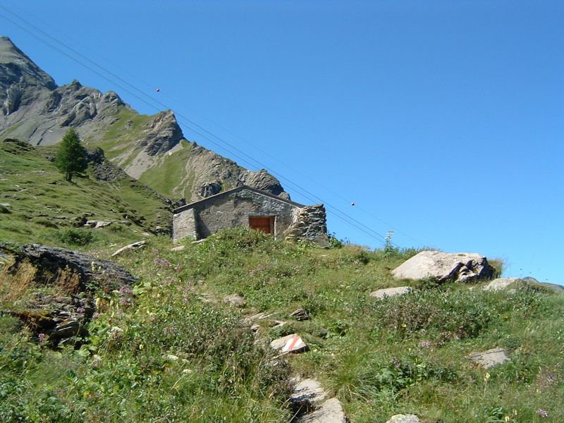
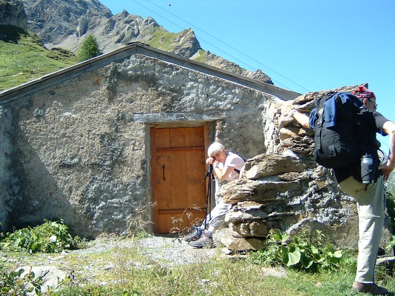
And here,
at 2029 meters, is the Blattihütte at the top of the wall, where the narrator
spent a chilly night in a snowstorm way back in 1981, before dashing back down
that path to Iffigenalp at dawn as the snowstorm settled in for the long haul.
(The lift lines above seem to be for the military; the little balls on the wires
are to keep from being hit by airplanes.)
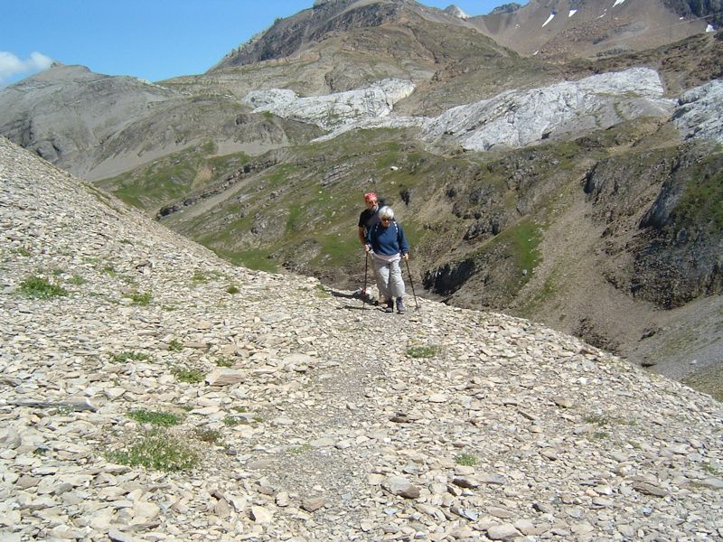
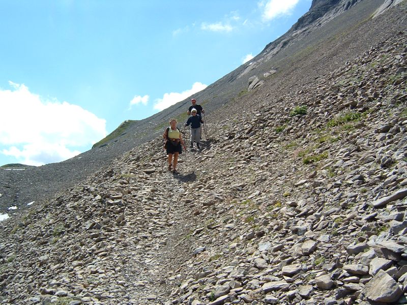
Stragglers
approaching the Blattihütte of fond memory.
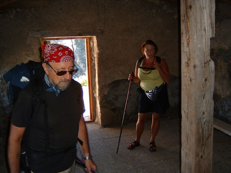
Joe
and Kristin check out the accommodations. In 1981, there was no floor, so that's
an improvement.
Teny
pauses to bask in the moment, with additional commentary provided by Joe.
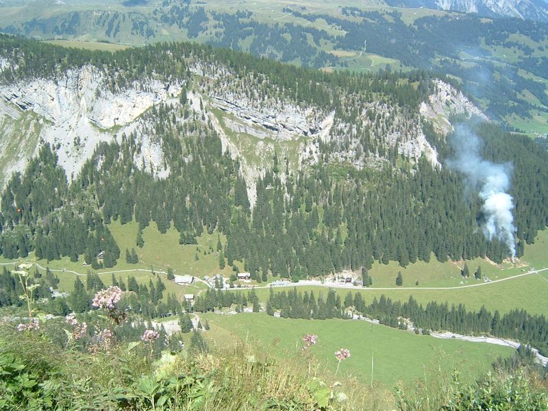
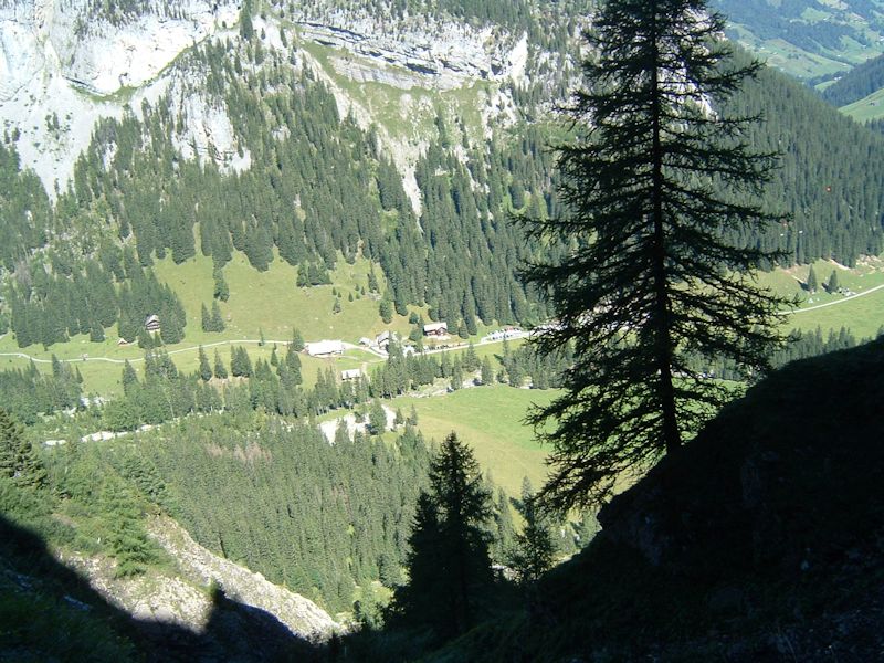
The
hotel at Iffigenalp (1584m) from the Blattihütte (2029m). The smoke is from
some forestry works.
All
members of the hiking party almost burst with enthusiasm to see the Rawilpass
for themselves!
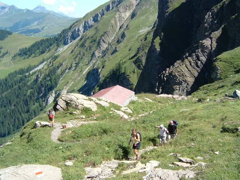
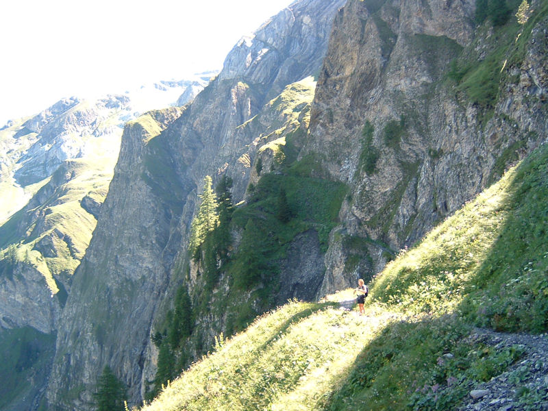
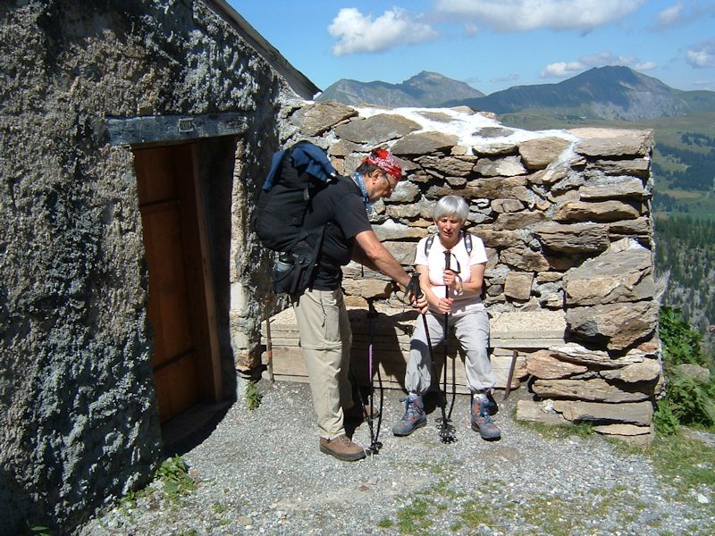
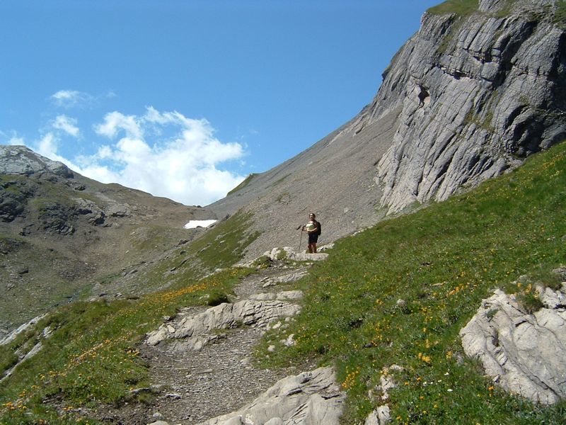
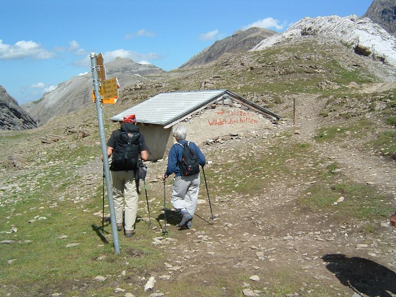
Leaving
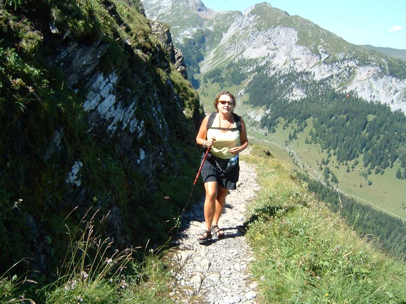
the Blattihütte behind, we're en route once again.

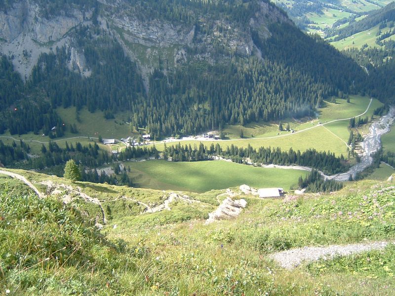
The village of Lenk, far below
This
is the Blattihubel, coming up to the place called Stiereläger at 2280m (where
in 1981 the narrator and friend Jane tried to set up a tent in the storm and failed).
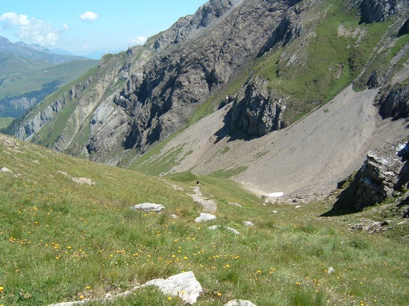
The
Rawilpass can be seen in the distance, but no one's going a step farther without
some ham and/or cheese sandwiches first.
The
first question at this point in our hike is: who gets the ham, who gets the cheese,
and who gets the ham-and-cheese?
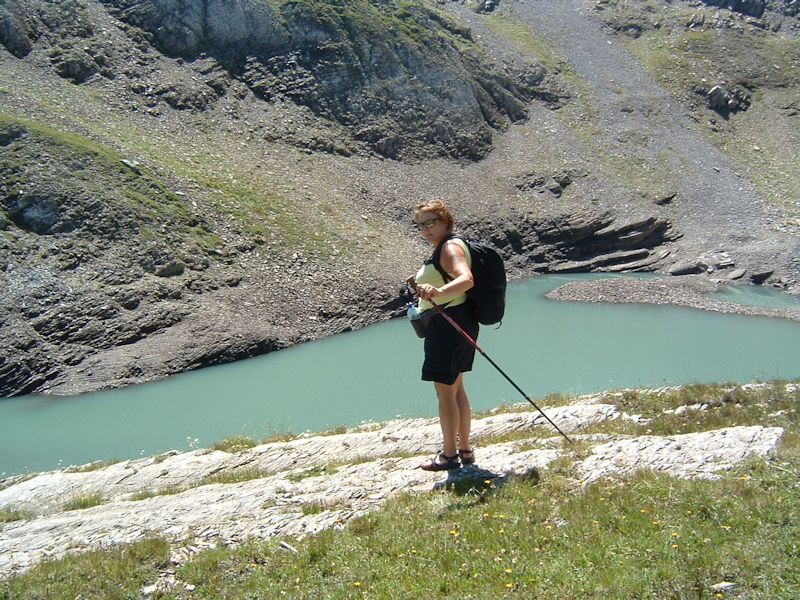
Kristin
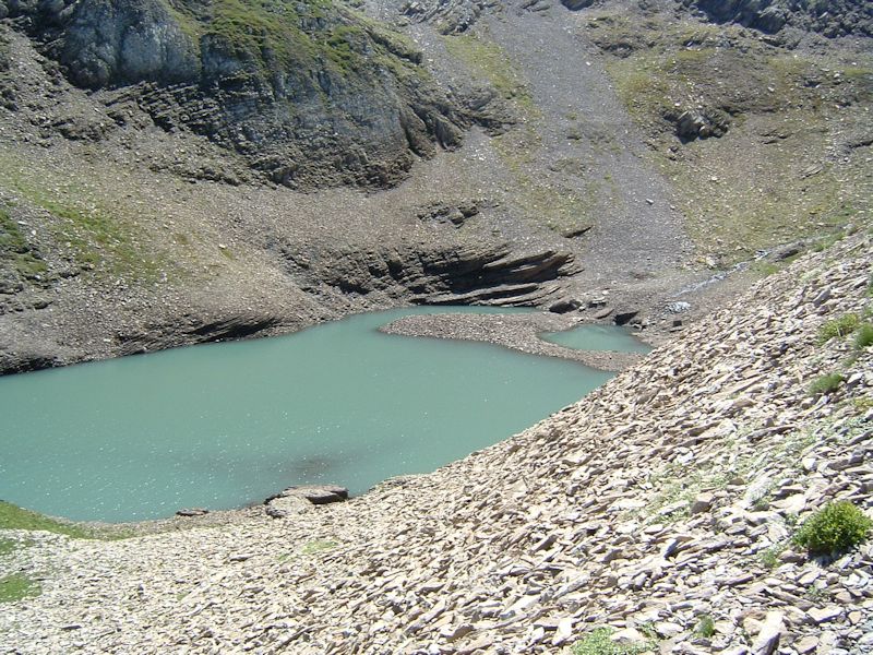
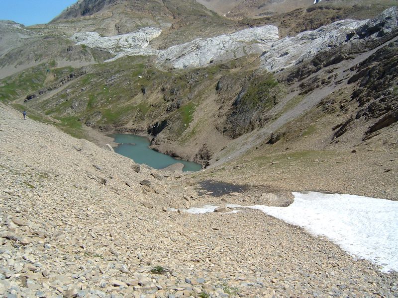
picks out a nice picnic spot above this unnamed lake (2343m) and gets out the
tablecloth, cutlery, and candles and snatches away the ham-and-cheese.
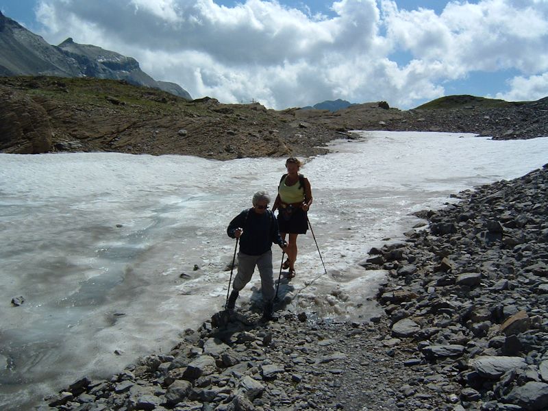
Lunch is over. We're leaving our picturesque little lake.
It can't be far now.
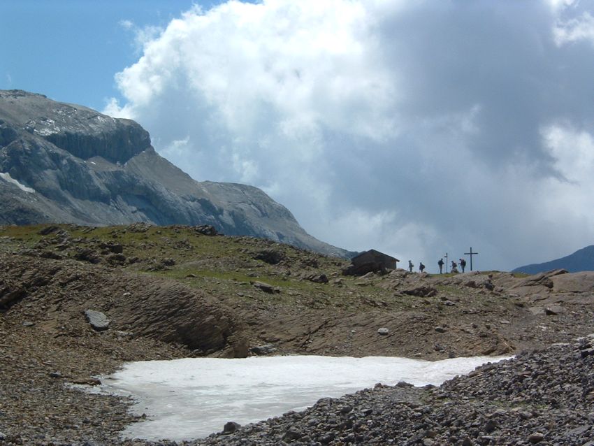
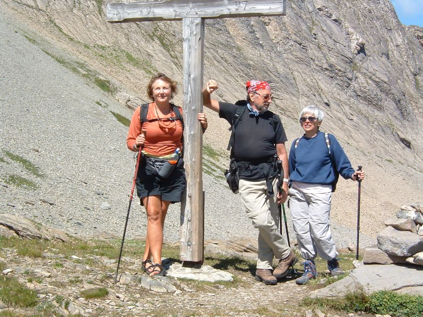
The
Rawilpass, or Col du Rawil, at 2429 meters, mid-August 2005.
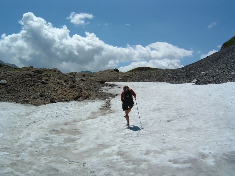
Kristin
pauses to flick some snow out of her "hiking sandals", which let the
feet breathe.
Rawilpass
Kristin
(at Rawilpass)
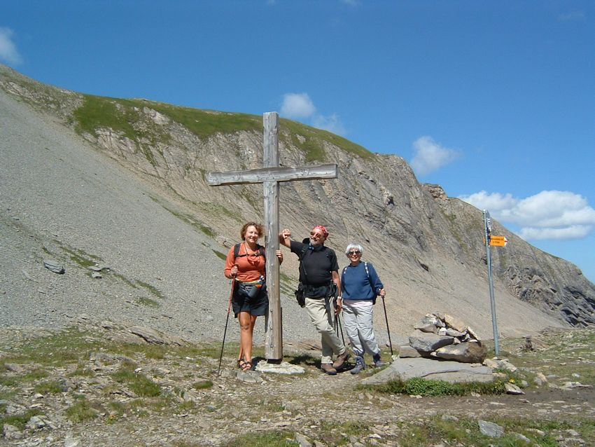
Kristin,
Joe, and Teny taking up the cross
Poignant
tableau
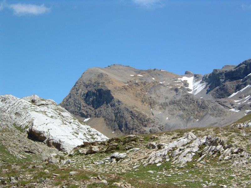
The Wildhorn
(3248m) off to the southwest, with its apparently shrinking glaciers. The narrator
went up there in 1990 on crosscountry skis and had a wonderful time (except for
coming down).
The view
to the east, with what are apparently serious Swiss military installations across
the top. Behind that lies the massive Glacier of the Plaine Morte, and beyond
that, the Wildstrubel.
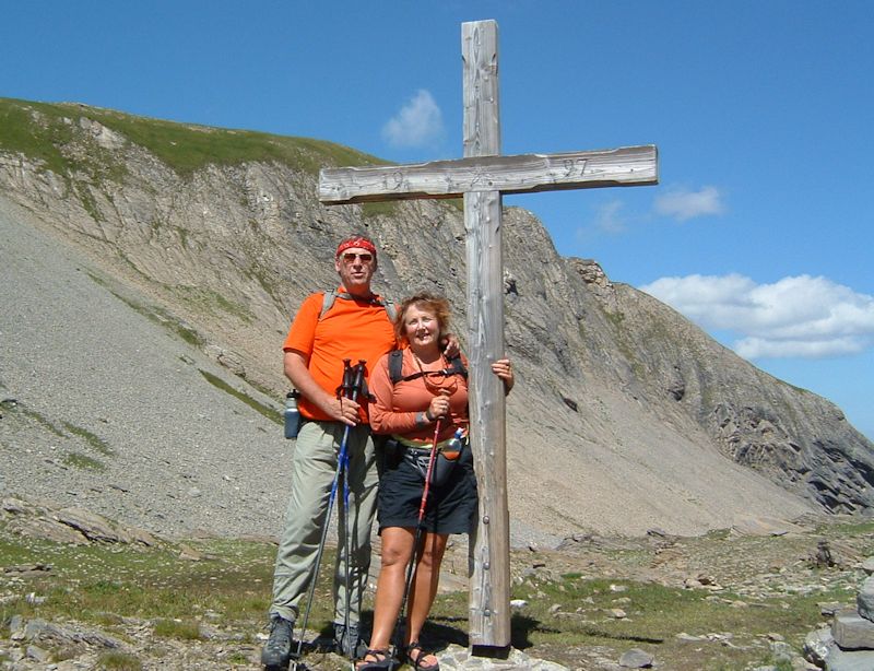
The
narrator and friend and cross
Joe
indicates his desire to go a bit farther along the semi-lunar Alpage du Rawil,
to see what can be seen.
The present
narrator ran this route a few times in the 1980s and the Alpage du Rawil is as
beautiful as he remembered it. At the far end of the flat (2380m), the path drops
vertiginously down to the Lac de Tseuzier (1777m), which is served in summer by
the postal bus up from Sion. But the running route continued another seven km
or so and ended in Crans-Montana, a 3:08-hour run from Iffigenalp over the Rawilpass
to Crans.
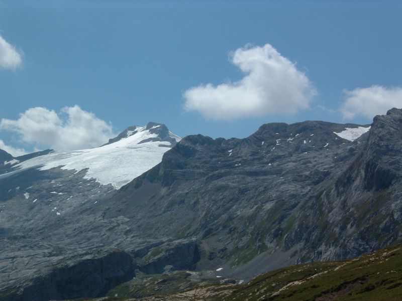
The
Wildhorn, about eight kilometres away and 800m higher
Time
to leave the lovely Rawilpass and start back down the way we've come.
There's
the Lake of Our Lunch.
As we
accelerate towards dinner, there's the Iffigenalp hotel and, on the right, the
Iffigbach getting ready to plummet over the stupendous Iffigfall waterfalls above
Lenk.
Joe
and Teny anticipating dinner
Joe
and Teny still anticipating dinner and trying not to get wet
During
the snowstorm in July 1981, this was probably the least welcome part of the pre-dawn
descent.
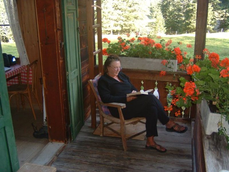
Kristin,
nicely tired out from our hike and showered, reads up on the menu for tonight's
dinner.

 Feedback and suggestions are welcome if positive, resented if negative,
  .
All rights reserved, all wrongs avenged. Posted 13 September 2005, revised 5 October 2008, 29 August 2014. .
All rights reserved, all wrongs avenged. Posted 13 September 2005, revised 5 October 2008, 29 August 2014.
|