|
La Dôle The Jura's answer to the Alps Having already celebrated beautiful Mont Tendre, one of the two really nice peaks in the southwestern Jura mountains near Geneva, one turns now to La Dôle, with its aeroport radar facilities on top.
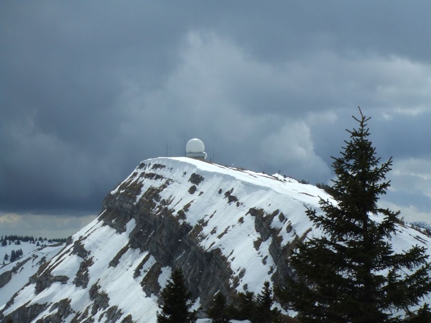
La Dôle (1677m) from the Pointe de Poêle Chaud, 2 April 2006
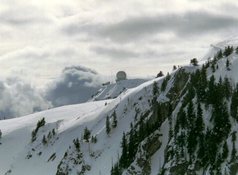
La Dôle and its fancy radar stuff, looking past Pointe de Poêle Chaud from the Fin Château, February 2000.
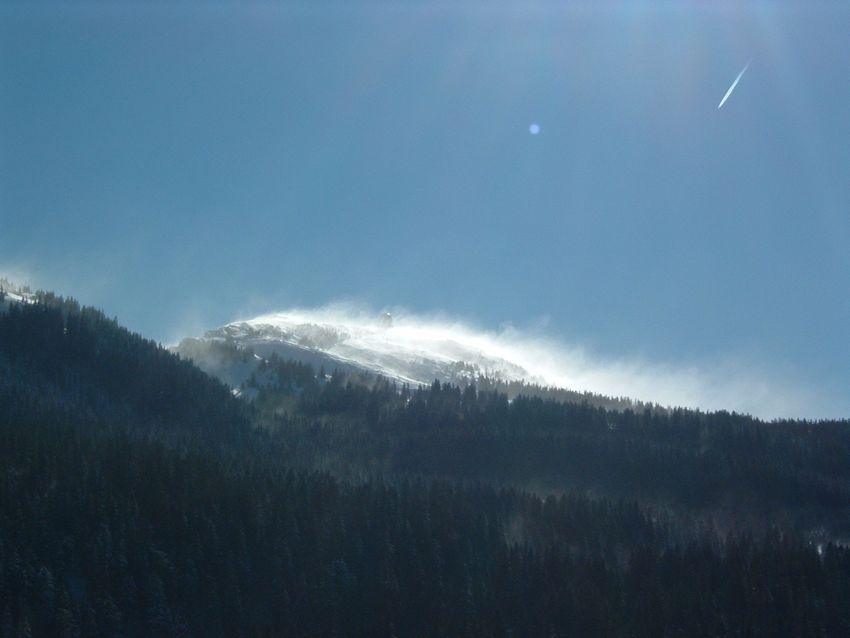
From Pointe de Poêle Chaud, April 2006
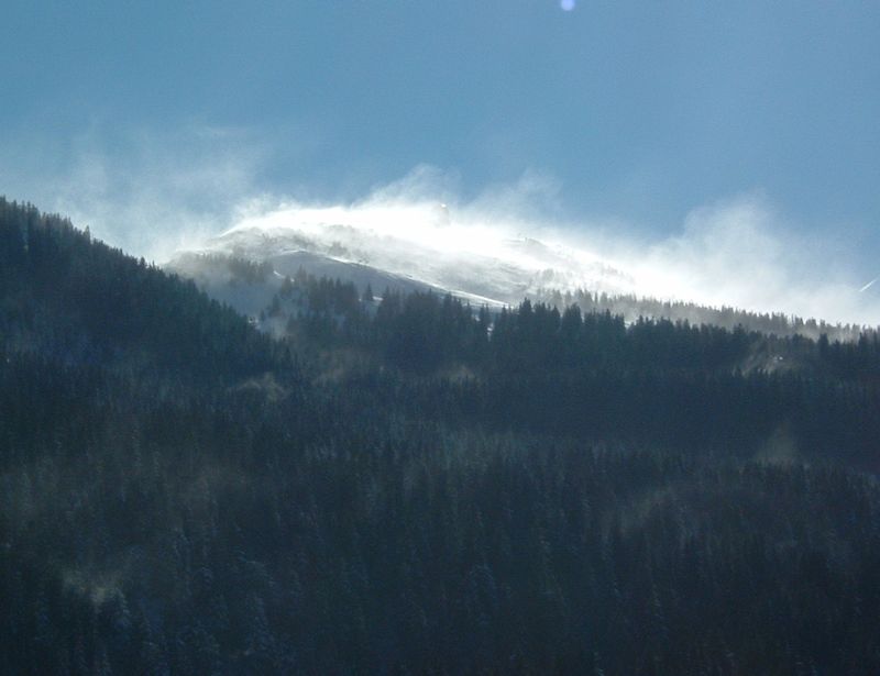
La Dôle on the right, the Pointe de Poêle Chaud in the center, 30 December 2003.
A chamois guy on a rainy day, May 2002.
Prof. Pirri on the La Vulliette side, a rainy day in May 2002.
May 2004
May 2004
From near La Pile Dessus, 24 December 2005
La Dôle with chamois, April 2004
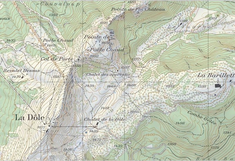
from SwitzerlandMobility (http://map.schweizmobil.ch/?lang=en)
From the Col de Porte, 2 April 2006
La Dôle from Les Tuffes in France, May 2007
La Dôle, from the top of the Pointe de Fin de Château, 16 March 2003, with Pointe de Poele Chaud intervening
|
 Dwight Peck's personal website


Some of our favorites (recommended)
|