|
 Dwight Peck's personal website Dwight Peck's personal website
Winter 2013-2014
Dispatches from way, way behind the lines in Switzerland
You may not find this terribly rewarding unless you're included here, so this is a good time for casual and random browsers to turn back before they get too caught up in the sweep and majesty of the proceedings and can't let go.
To the prehistoric refuge of Châtel d'Arruffens

We've arranged to meet our guide, Dr Pirri, in L'Isle on the Swiss plateau, 21 April 2014, with the firm intention of going to see the prehistoric fort of Arruffens again -- it's been a few years, and maybe it's all changed now.

We hurry along to leave our VWs at Montricher Les Ages, and our guide strides off at a brisk pace as we're limbering up, stretching a little, screwing our courage to the sticking-place, and noticing that he's already on his way.

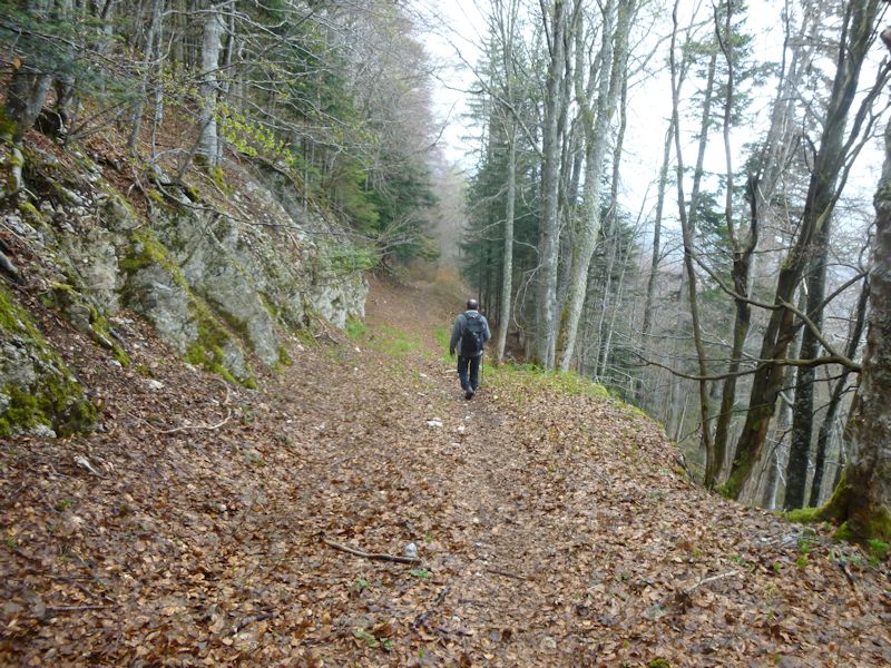
A gentle upward track (at first), which . . .

. . . steepens. We're on a narrow spine that entices us upward from about 750m in Montricher to a headland called Arruffens, or Châtel d'Arruffens, at 1432m, where we hope to find our Bronze Age fortress and perhaps a Cross.

Our guide, awaiting our arrival at about 1000m, gazes out across the Combe de la Verrière, a deep ravine separating us from the eastern end of the massif of Mont Tendre.

Mont Tendre is in the distance, but so are the clouds.

We persevere.

Dr Pirri persevering

About 1160m. No time for second thoughts.

To be honest for once, the main reason for choosing this hike today is because of its upwardness, which it is hoped will make up for a week of watching TV and eating bonbons.

Magnanimous Dr Pirri pauses from time to time to let us catch up if we choose to.

A little contouring on a track evidently used by villagers fleeing mauraders on the plains below some 3,000 years ago.

On the pastures at the top of the Châtel headland, we enter the sacred precincts.

We're evidently at 1390m, now within the old Bronze Age, and late Roman Empire, fortified refuge for villagers down the hill "in troubled times" -- picture them dashing up the path we've just taken, carrying their household valuables in baskets on their backs -- and from which they were able to control the traffic over the Col du Mollendruz, presumably for the customs fees.

The first time I came here looking for the famous fort, I said "Uuummmm. Where?", and went away very disappointed. But we were never meant to find towering walls and the excavated street plans of a late Roman mile-fort. In fact, we're meant to take the archaeologists' word for the fact that they've found artefacts here.
Is that the top?
A rain-catching cistern

Is that the top?

Ah. Well, is that the top?

That must be the top.

The plain below

Good grief; it's got pie plates on it.

Commemorating the occasion

Pie plates, or wind gauges. There was a controversy in the Swiss newspapers a few years ago about the venerable tradition of planting huge Christian symbols on the summits.

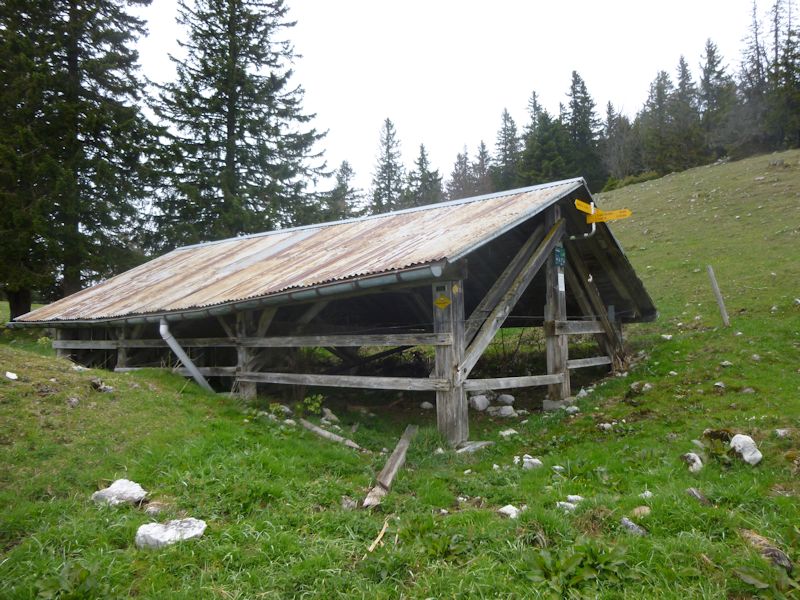
Just beyond the trees and 40m down the hill is the summer mountain restaurant of Châtel, up a tiny road from the Col du Mollendruz, past the farm of Pré de l'Haut Dessous (The Lower Higher Meadows). That's just down the hill from the Pré de l'Haut Dessus (The Higher Higher Meadows).

We've strayed from the summit, and we're awaited.

A look southwest across the ravine of Verrière at the farm of Le Risel on the way up to Mont Tendre

Down we go

A guide who is inerrant . . .

. . . but sometimes stymied.

We're going back down by the back-and-forth gentler route . . .
. . . to retain whatever knee cartilage we may have left.

VWs schmoozing! We're back, boys.

 Feedback
and suggestions are welcome if positive, resented if negative, Feedback
and suggestions are welcome if positive, resented if negative,  .
All rights reserved, all wrongs avenged. Posted 11 May 2014. .
All rights reserved, all wrongs avenged. Posted 11 May 2014.
|