|
Winter 2013-2014 Dispatches from way, way behind the lines in Switzerland You may not find this terribly rewarding unless you're included here, so this is a good time for casual and random browsers to turn back before they get too caught up in the sweep and majesty of the proceedings and can't let go. A short walk up Mont Sâla in a drizzly rain 7 November 2013
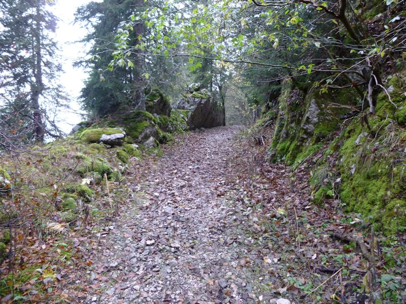
It's just soggy leaves now but it's much prettier in the winter.
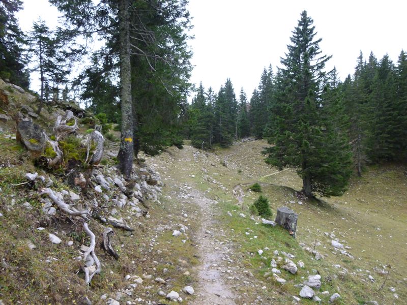
The path from La Bassine and Les Pralets up to the Combe des Begnines
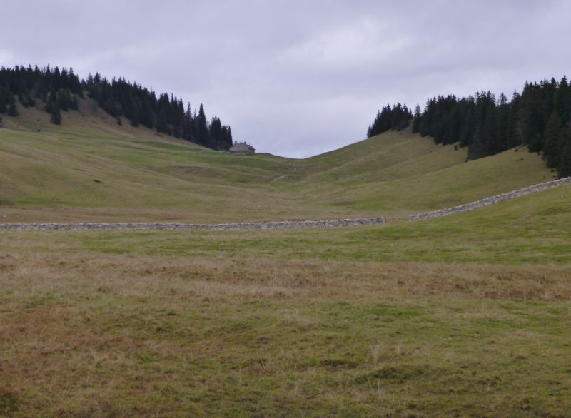
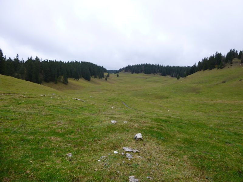
Emerging from the forest into the Combe des Begnines
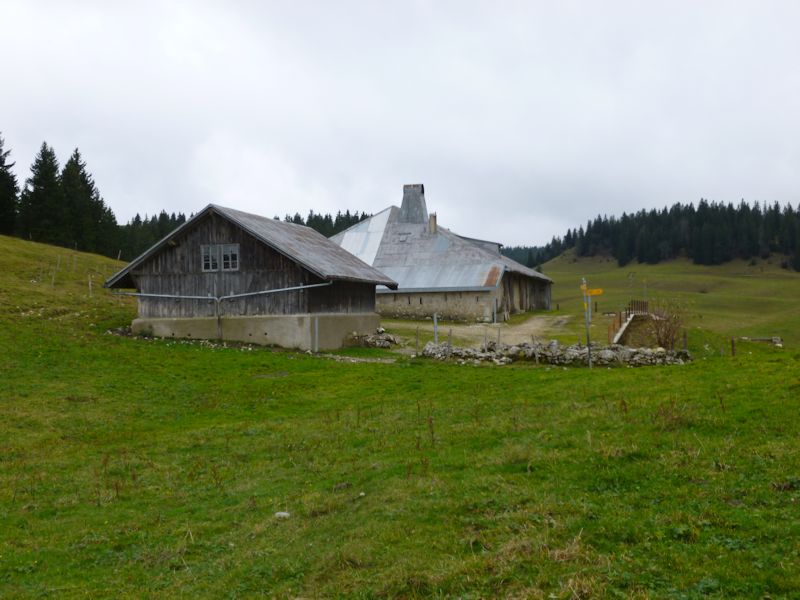
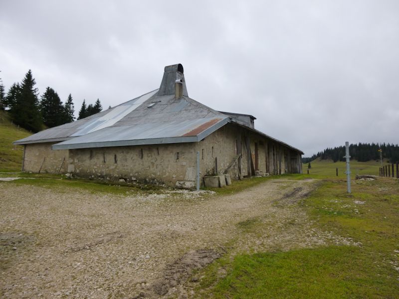
Zoomed on the farm of Petite Chaux near the northeastern end
Le Couchant, look southwestward
The southwestern end of the Combe des Begnines, towards the little cabin by Creux Devant
Zoomed to the cabin at the southwestern end, with a trail up to Mont Sâla from the cabin up to the left
We're taking a different trail from Le Couchant up southwestward along the ridge.
This one
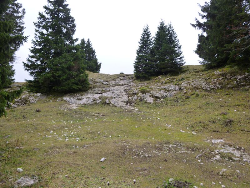
The final bit
The lonely cross at the top (1511m)
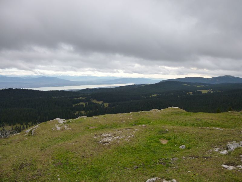
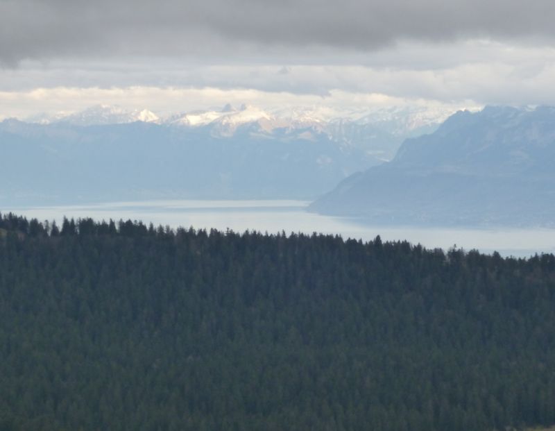
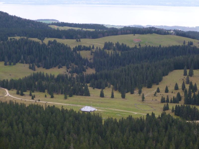
The view of Lake Geneva (Lac Léman) from Mont Sâla
The length of the Combe de Begnines looking northeastward
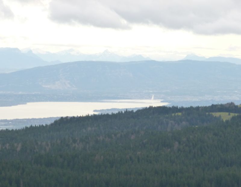
The city of Geneva to the south, with the famous jet d'eau
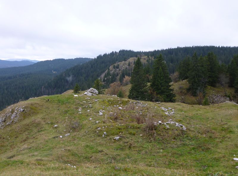
The tree-covered Mont Pelé along the ridge, with a bald unnamed little summit between us
Dr Pirri short-roped us up this way one time, but won't get another chance at that.
An even less encouraging route
It's drizzling again and we want to go home.
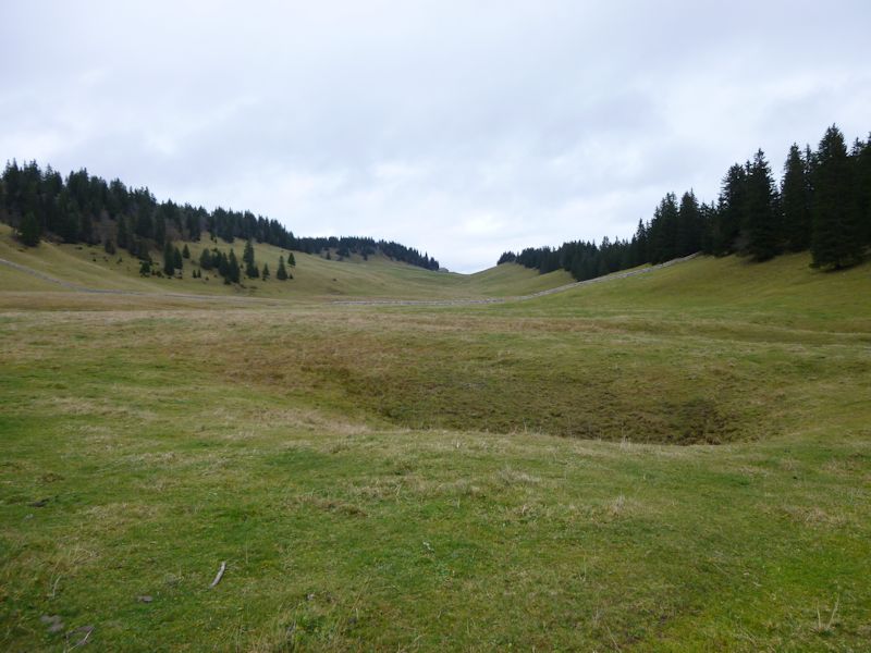
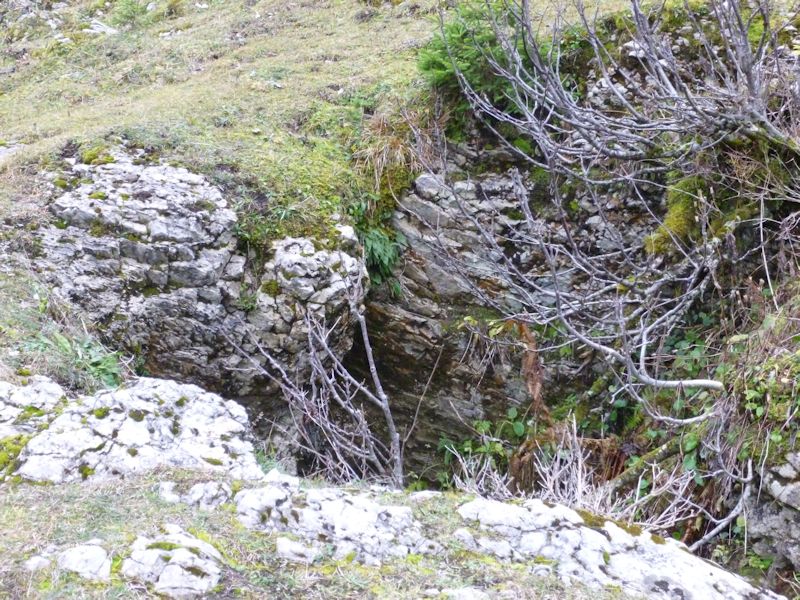
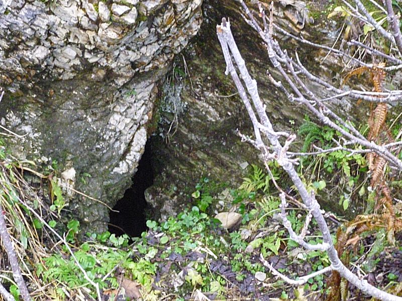
There's a picturesque hole just below the summit, just off the downhill trail.
It's pretty unsubtle in this season, but worth keeping an eye out for once the snow's come.
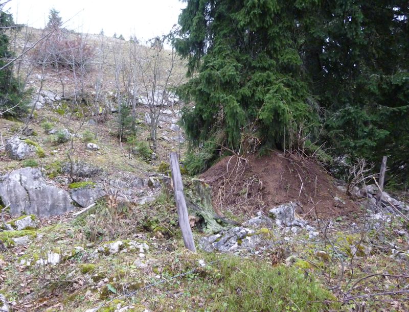
A good way to break your snowshoe or ski
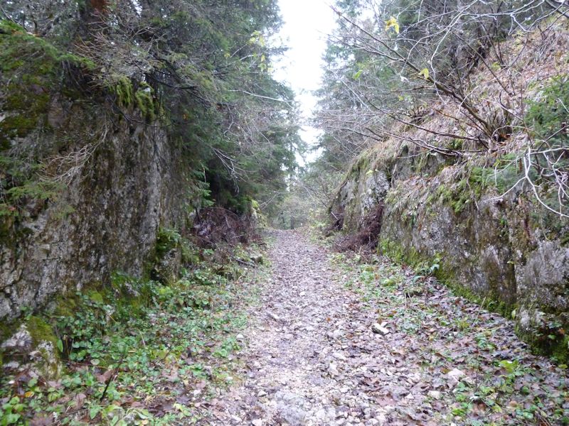
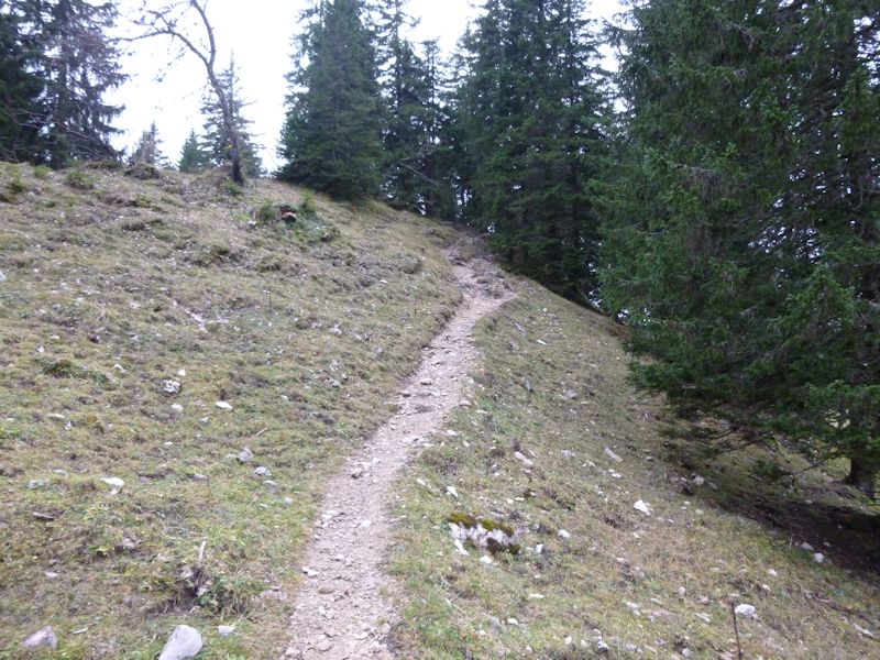
The trail along the ridge
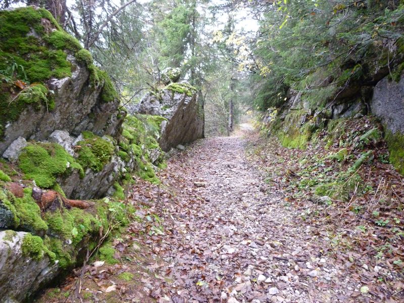
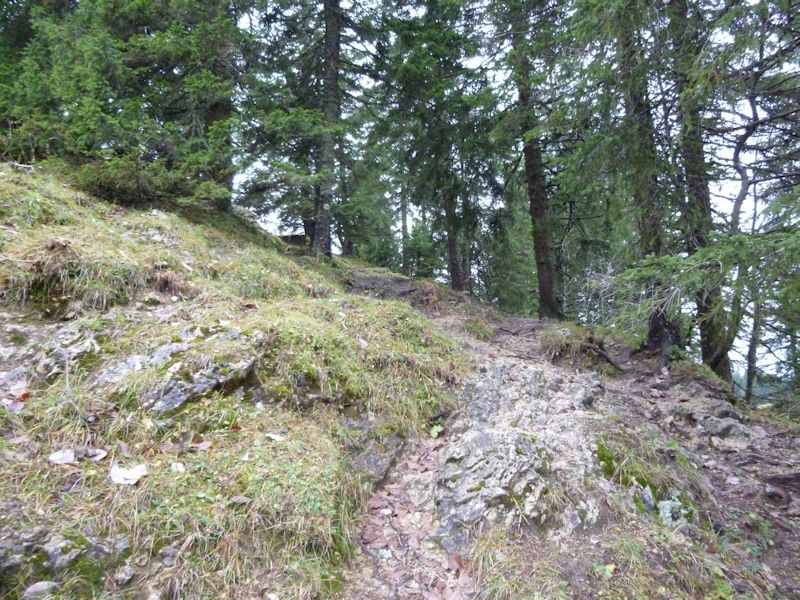
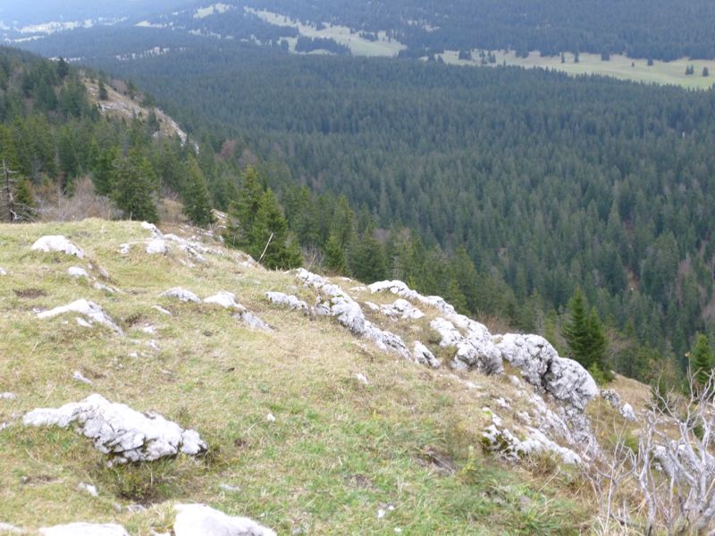
Back down the path through the cliffs
Just drippy and disspiriting today, but winter is coming soon.
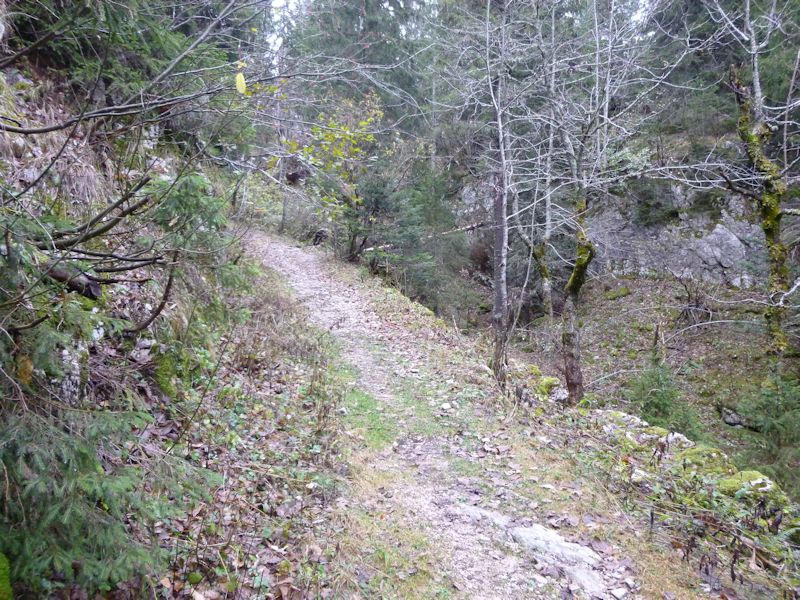
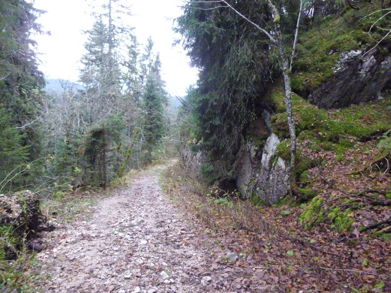
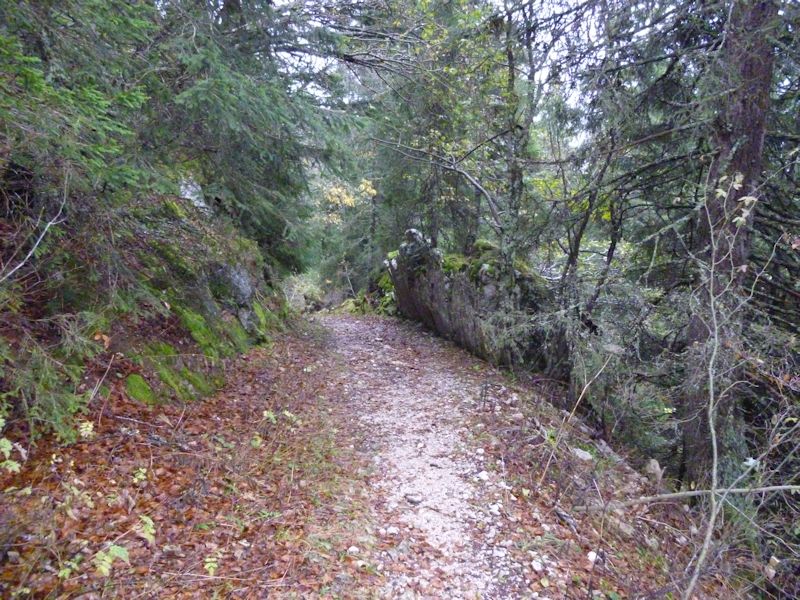
Back out to the forestry roads and home
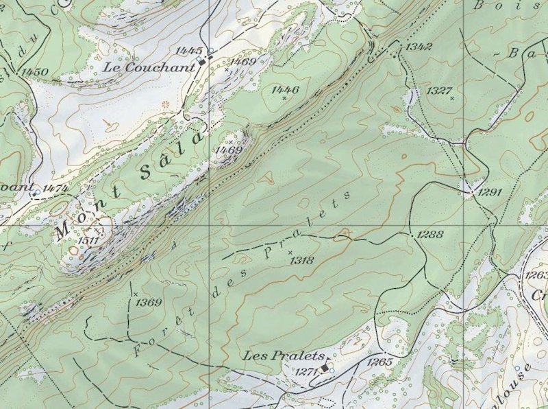
from SwitzerlandMobility (http://map.schweizmobil.ch/?lang=en)
|
 Dwight Peck's personal website


Recent Events
|