|
Mont Sâla If there's any snow left at all, we'll find it. You may not find this terribly rewarding unless you're included here, so this is a good time for casual and random browsers to turn back before they get too caught up in the sweep and majesty of the proceedings and can't let go. Mont Sâla incrementally, April 2010 Every year we fight the same existential battle -- as the snow disappears out of the forests, the mountain roads don't get the message. It's existential because we're out here to find the snow and most of it doesn't exist anymore, but we're not going to give up until we begin to look really foolish.
Mont Sâla. March was, globally, the hottest March in recorded history, so . . . disappointments, but no surprises.
Snowshoes on, this is the "notch path" up to the Combe des Begnines with the sun shining benevolently.
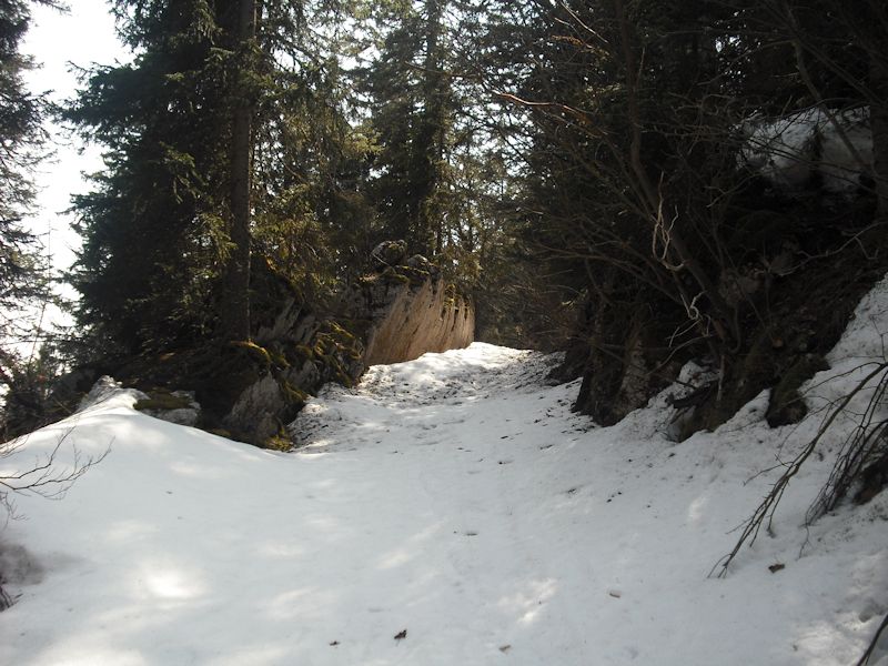
The path winds pleasantly up through the cliffs, all the better with the sun out.
The "notch" of the notch path, about 1400m
Out onto the Combe des Begnines (1409m), the alpage of the commune of Begnins.
Two skiers have passed by a few hours earlier -- otherwise, no tracks from anytime in the past few weeks. Everybody's down getting ready for the football/soccer season.
Sinkholes in the Combe des Begnines, which is limestone and riddled with natural storm drains.
The weather is superb, the scenery excels, but nonetheless it might be a good idea to rest here for a while, and have another go at Mont Sâla tomorrow.
A sinkhole filling up with runoff, very beautiful
Southwest towards Le Couchant, with lava clouds.
Back down the notch path. The old snow looks really dirty because of all the volcanic ash.
Popping out of the forest near La Bassine (1263m) and a shirtsleeves plod along the way
Dieter's still there, good. Mont Sâla for real this time
Back the next day, we're Oath Keepers and we vowed to come back and finish the job.
Up through the cliffs again, same trail, but a few more tracks on it since yesterday
It will be good to see Mont Sâla again, unless the Icelandic volcano ash has covered it up.
The notch path, with volcanic ash and Spanish moss cluttering up the snow
We're sneaking up the back way to Mont Sâla, unsignposted but shorter and faster than the normal route.
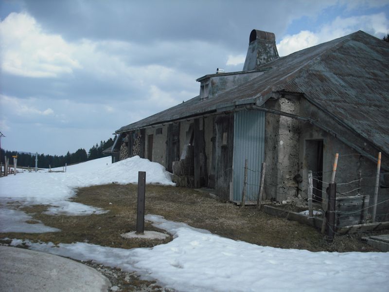
The signposted path, passing Le Couchant farm, is on the far side of that ridge.
A wonderful anthill -- the scouts are out and scurrying all over it, but no great masses of workers yet.
Up onto Mont Sâla now, with a look back at the Le Couchant farm that we've sidestepped.
Mont Sâla
A little ankle-snapper on the way up onto the top
Ceremonial cross
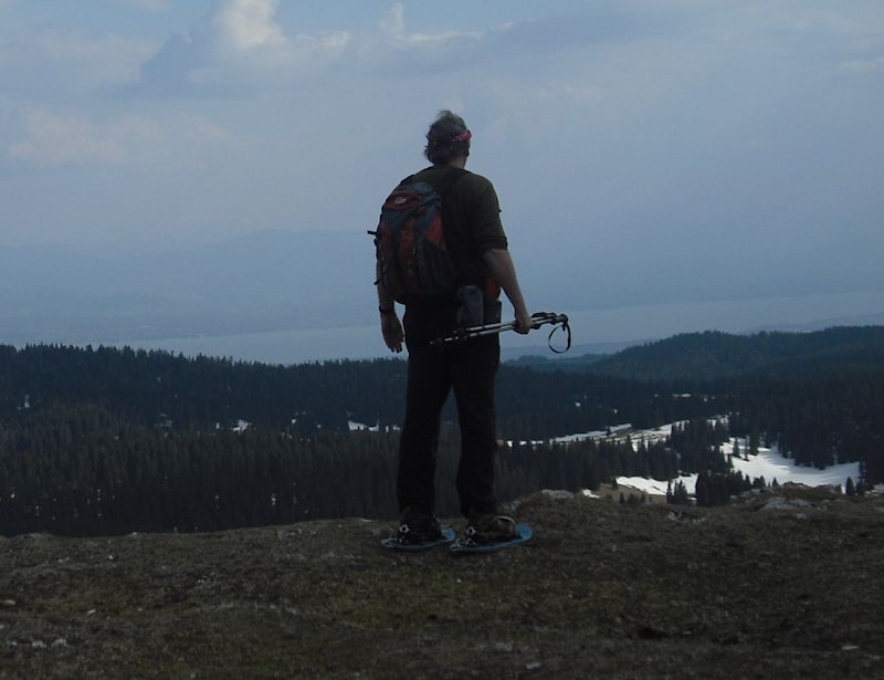
A good view of Geneva, Switzerland, from here, though somewhat obscured by volcanic ash, or lava.
The front side of Mont Sâla -- our ancient VW is waiting for us down there somewhere.
Looking southwest along the ridge towards Mont Pelé
La Dôle in the distance
Back down again. Of course.
With idle time on our hands this afternoon, we're taking the normal route out into the Combe des Begnines per se.
Sinkholes
Lava clouds massing over Le Couchant farm
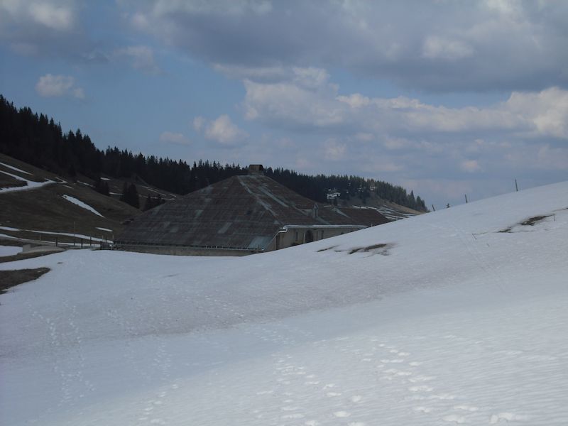
Le Couchant (1445m)
Ash clouds massing behind us
Le Couchant and the top of Mont Sâla behind
Down the notch path
A long path out
Dieter the VW is waiting patiently
|
 Dwight Peck's personal website


Recent Events
|