You may not find this terribly rewarding unless you're included here, so this is a good time for casual and random browsers to turn back before they get too caught up in the sweep and majesty of the proceedings and can't let go.
13 January 2022

We've begun our walk from this welcoming carpark about, by a rough count, four hundred and eighty-two times, but as the weather changes, so does the view. We've described some of the surprising historical background of the Augusta Springs Wetlands (the 19th century hotel/spa, etc.) in another place and won't repeat all that here -- suffice it to say that: we're back, and giddy with anticipation about investigating another trail here, 'heretofore unbeknownst to us', we might say.

First, there is a very attractive loop just round the pond and wetlands themselves, with boardwalks when required, 30-40 minutes at a forgiving pace -- not quite so attractive today, perhaps, with all this grey wetness dripping off the trees and pooling on the path.

This is part of that loop trail, passing round the lake, but there is also an 'Uplands Trail' that winds northward up onto the ridge above, crosses over and descends again into the next little valley to rejoin this trail just behind where we are now. (That's clockwise - we could go up the descent path and down the up path, but we don't). The Uplands Trail adds about another half hour at a casual or meditative pace.

The central pond has become an ice rink.

We're paused at the 'Mind-Your-Head' park bench, with its 'Kerplop!' Bull Frog info plaque -- The Forest Service or whoever has provided these wildlife didacticals along the path is to be heartily commended, but, to be honest, we've almost never seen bull frogs, or dragonflies, or anything wildlifey at all here, except that one member of our party spotted two ducks hiding amongst the cattails two weeks ago. It's true, though, that we're never here in the summer, which is probably Wildlife Prime Time viewing.

That's what we might think of as the 'Mayan Temple' -- stone structures from long ago (waterworks from the old hotel/spa days) now nearly invisible, wreathed in jungle vines (like kudzu). It's invisible in more temperate seasons.

Iced over for real -- shall we see if we can walk on it? [rhetorical question]

There's a tree giving up hope.

Nice views. That's, by the way, where the putative ducks were hiding two weeks ago. Gone now, probably.

Back onto the trail, and back to business: the apparently 'new trail'.

Waving goodbye to the iced-over pond, fondly

Here, where a little 'run' or creek comes down to the pond, is our intersection for the Uplands Trail.

And it's remarkably snowfree, isn't that lucky . . . but why is it snowfree?

We're officially on our way up to the 'Uplands' now.

The next intersection, to our newly noticed trail, is not very far up this one.

And here we are -- the trail sign, which we never noticed until two weeks ago and is likely newly posted by the management, points forward along the normal Uplands Trail and up to the right for our explorations today.
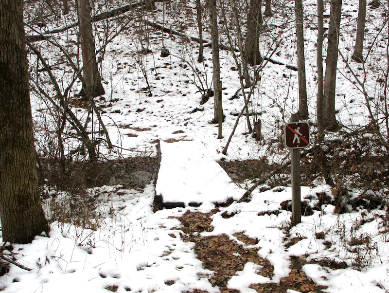
There's a long disused little bridge (but recently trod upon) leading over the little creek off to the left, but that's 'U.S. Government Property. No Trespassing', so that's that. (What if it's been mined.)
That's our normal Uplands Trail, our normal 'up' trail in fact, which we are now forsaking.

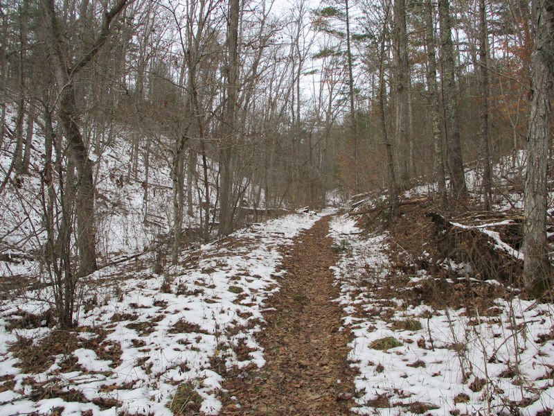
And finally, we're on our newly noticed trail, which sports splashes of yellow paint on trees at intervals.

There's a splash of yellow paint.
We've thought long and hard about this, but come to no conclusion: why is the trail so helpfully snowfree, when the countryside all roundabout still has an inch or two of snow on it? Shouldn't any previous walkers here have packed the snow down and hardened it? It's a big conundrum.

But it is certainly helpful, when exploring, to have your path all laid out for you.

At the top of this little rise, beyond the fallen tree, we come upon another intersection -- the path we're on now continues over the ridge and down the other side, but we also find another one that starts up north towards the centre of the ridgeline.

Down to our right, that's our usual 'down' trail in the next little valley heading back out to the carpark.

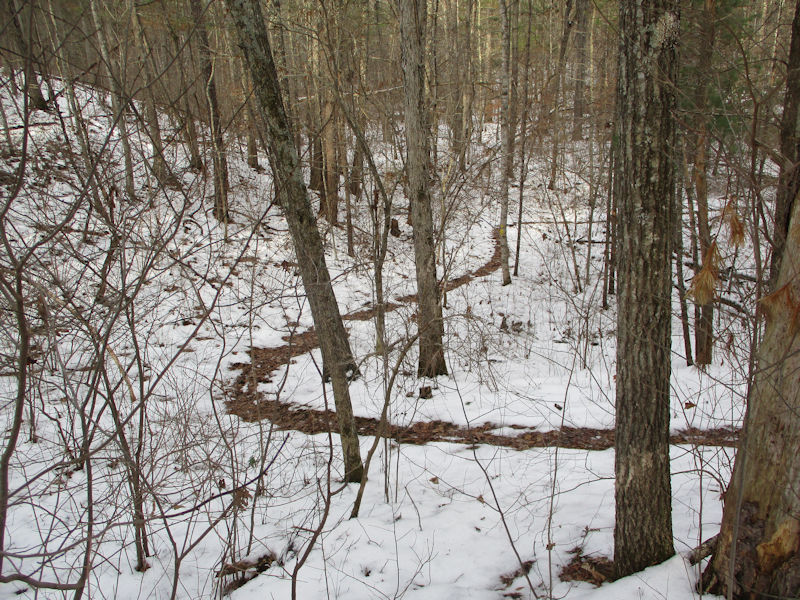
In fact, two weeks ago we noticed a new trail joining our usual one right at the top of the Uplands ridge, and we'd speculated about whether that might be something just like this one, coming up along the ridgeline.This lovely trail features little yellow metal diamonds on selected trees, instead of the usual paint splashes, and supports the notion that this trail has been recently created and marked. And hasn't made it onto the trail maps yet.

Still northward, and approaching the ridgeline

We're onto the ridge but still have a ways to go.

A worthy addition to our little repertoire of local paths

That's our normal 'up' trail joining up to the ridgeline.

We're nearly there; it's so exciting.

Here where the normal Uplands Trail crosses over the ridge, there's a new trail sign pointing to our usual path, starting steeply down the far side.

That's our normal 'up' path joining us on the ridgeline, looking uncomfortable about its rude and primitive splash of paint.

And that's a continuation of the path we've been following, progressing out northward along the ridge. We'll come back for that, in the fullness of time.

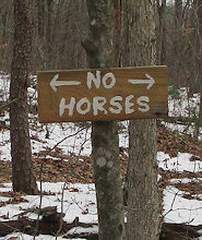
'No Horses' allowed on our usual path, but nothing said about the one we were one. Huh!

We've been daydreaming and straggling; now we must rejoin our party.

Down we go, a lovely trail, and soft on aging knees!

Here's where it's going to drop more sharply down.

And here, back at the intersection, we've consulted and reached a consensus that, instead of backtracking, we'll follow that original crossing path down to the neighboring valley.

Perhaps the rangers or whatever they are have tugged snowblowers up here, to make hiking easier, and safer, for the clientele. [Just a hypothetical]
Nice and serpentine, anything to make our walk more interesting

We're on the ground floor now, with only another creek to get over.

Here's the creek. We can't expect a ferry, or even a suitable bridge, so we may have to improvise.


That's one messy creek bed -- there's got to be an easy way to cross it. In the absence of a ferry.

Whilst we're peering about, looking for a solution . . .

. . . Kristin's crossed it. So!

Right, it wasn't that hard, as it turns out.

Back up onto the regulation Uplands Trail and hereafter on familiar ground.

There's the creek, burbling along towards the pond.

And there's one of our familiar souvenirs of what appears to have been an Abandoned Automotive Free-for-all here, likely in the 1940s or so.

The trail map at the carpark shows the red loop trail and the light blue Uplands Trail, and an already existing crossover path. We've helpfully added the approximate track of our new trail up the ridge.

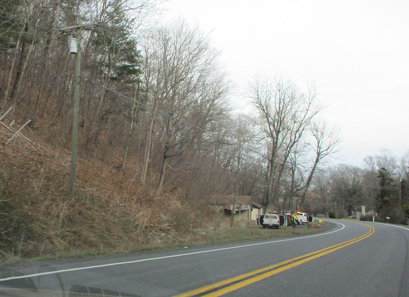
The scenic road home, northeast to Buffalo Gap . . .
 Dwight Peck's personal website