A collection of photographic scraps as the covid winter plods along to a covid spring
You may not find this terribly rewarding unless you're included here, so this is a good time for casual and random browsers to turn back before they get too caught up in the sweep and majesty of the proceedings and can't let go.
The 'Uplands' Trails: variations on a few local hikes
The Augusta Springs Wetlands

The Augusta Springs loop trail is scenic, flat, and a bit less than a mile around. There's a variation, though, the 'Uplands Trail', about another mile over a low ridge just to the north of the wetlands. We've been over it once before, and now we venture thither yet again, 21 March 2021.

The wetlands are seasonally wetter than usual.

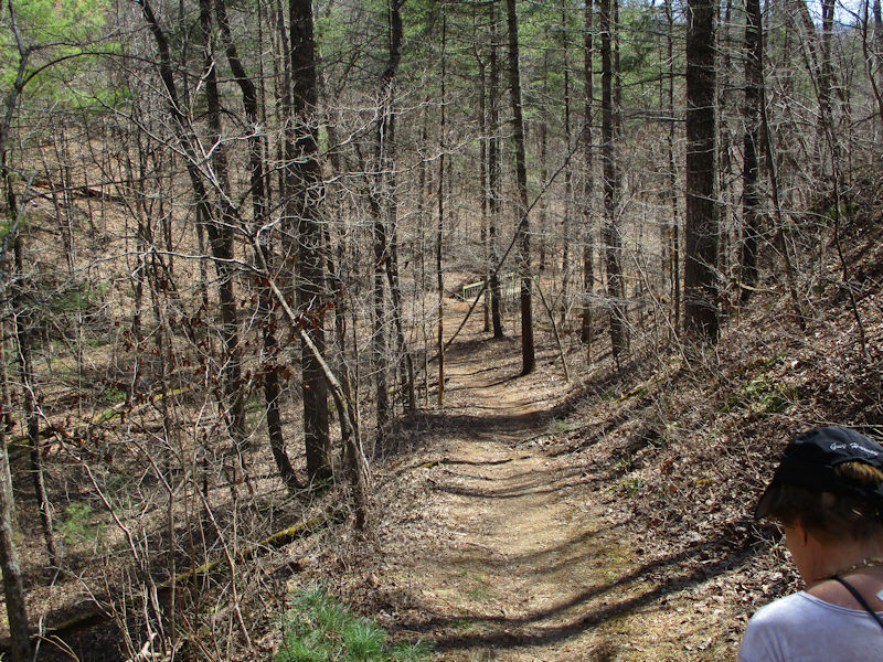
We commence with the traditional boardwalk round much of the flat loop trail.

At the far end of this boardwalk, we're going to make a pointless little digression.

We've noticed this little track before, so now, just out of curiosity . . .

Ah! 'Nuff said.
(But, as taxpaying citizens, isn't 'US property' ours? Guess not.)

They're certainly serious about it.

And the idea of wandering into a 'Hotshot' area clinches it. (But, despite the ominous name here in Virginia's celebrated gun country, the Hotshots are a venerable elite organization of forest firefighting crews, operated by the Forest Service with the Bureaux of Indian Affairs and of Land Management, and the National Park Service.)

Right, we got the message.

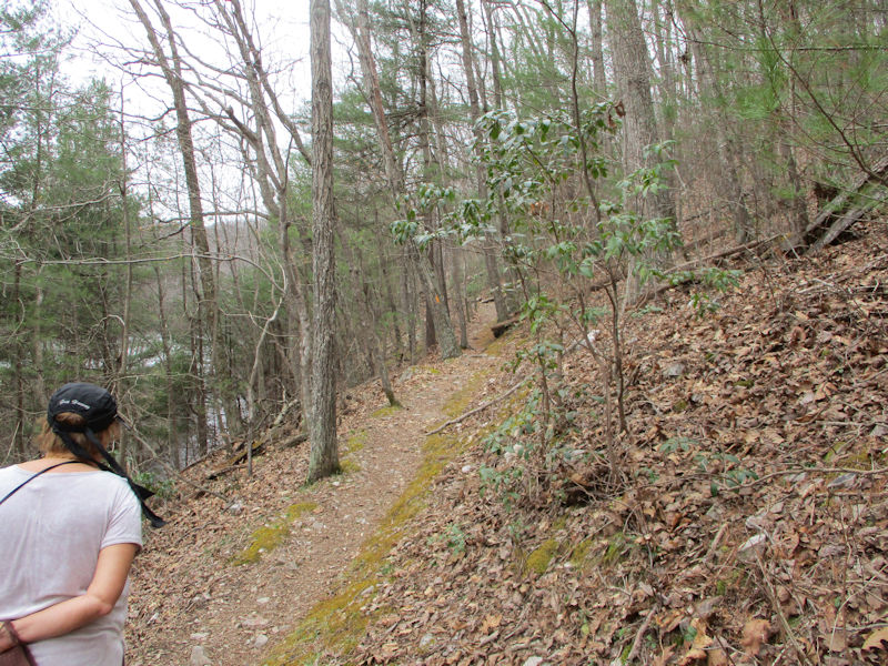
A little farther along the wetlands loop trail, we set off for the Uplands . . .

. . . on, so far, a pleasant, gentle path.

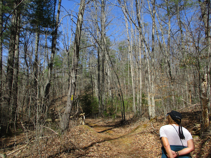
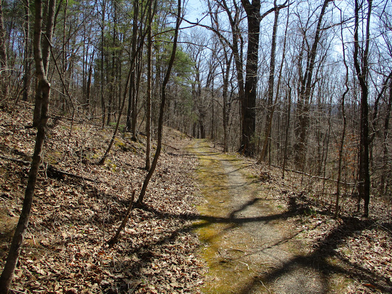
Now upwards a little bit, prepared to follow the yellow blazes on the trees in case we wander off the trail.
The path is wonderful, but the forest here is crap.

Uplands Trail views

The skyline ahead?

Topping out, it seems

Over the little ridge and starting down (and judging by the yellow blaze, we're still on the trail)

We're probably only about 80 meters above the little creek in the next valley.

So what's that?

Somebody's run out of gas and had to leave the car; a while ago.

A gentle descent (easier on the old knees)
And a cute little bridge over the neighboring creek


Very thoughtful, that's the Forest Service for you.

We persevere.

More reminders of an evidently awkward past round here, 'back in the day'

There's probably a story there, now lost. (Not necessarily an uplifting story)

And still another lost story, and a puzzle about how to dump an unwanted vehicle in the middle of the forest.

We're not alone. A horsewoman with dog considerately hanging back until we pass
Nearly there

The graveyard of crappy old cars

Probably not worth going scavenging down there after all these years

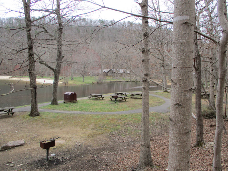
Back out to the boardwalk, and time to go home. The Augusta Springs Wetlands loop trail is ranked by AllTrails at 4.3 out of 5.0 for what it is, a very short, easy walk in some very decent scenery (and, we're told, some small wildlife, which we have to take on faith). We've described some of the place's history as a famous 19th century spa elsewhere on this website.

The scenic drive back to home in Staunton

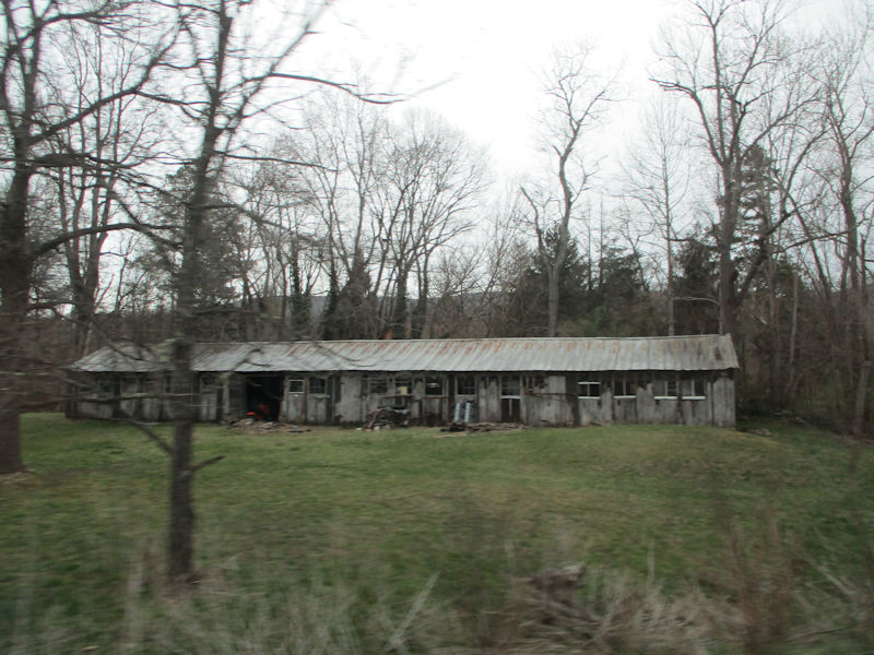
Nothing a good coat of paint wouldn't remedy

Approaching Buffalo Gap

Melvin is explaining to Choupette how the new cat-carrier works . . .

. . . and Choupette is expressing her opinion about it.
The Sherando Lake 'Cliff Trail'

The Sherando Lake Recreation Area, operated by the Forest Service about 12 miles (18km) south of Waynesboro, Virginia, has been one of our favorite places for scenic walks -- it features a lot of campgrounds, a small public swimming beach, picnic stuff, fishing, serious hiking and pleasant walks, has a per car fee and can presumably be very crowded in summer (it is, after all, known as 'the Jewel of the Blue Ridge Mountains'). But we're not here in the summer.

We've been coming here frequently in autumn, until winter conditions block the access road, and in springtime, and we've intended to walk the uplands trail for some time. So today's the day (27 March 2021).

The trail begins just behind the visitors' centre. On the AllTrails website, this is called the 'Sherando Cliffs' hike, 1.3mi, 70m (229ft) elevation gain.

On y va.

The beach, awaiting the summer hordes

Leaving the visitors' centre and carpark behind

A well-tended path gently up along a ridge, at this point between the lake and the access road . . .

. . . but soon we've left both lake and road behind.

This is basically the high point, and soon we're starting down, still heading away from the lake.

And now turning back and zigzagging down to lake level. The rock ahead bears an interesting feature . . .

. . . which, on examination, turns out to be a tree growing out of it.

Those are the twin scree fields across the valley, which we speculate are tailings or waste rock 'overburdens' from the 19th century iron mining on the Torrey (aka Torry) Ridge.

Someone has cleared a fine path for us.

Down toward Sherando Lake appearing in the distance

First zigging, and then zagging. And repeat.

A pause for some sightseeing

Now we're emerging onto the dam at the north end of the lake.

We cross the dam, and . . .

. . . proceed in an orderly manner down along the spillway of the North Fork Back Creek.

Across the little bridge

 Dwight Peck's personal website