You may not find this terribly rewarding unless you're included here, so this is a good time for casual and random browsers to turn back before they get too caught up in the sweep and majesty of the proceedings and can't let go.
Snapshots of the Vallon de Nant, 28 May 2017
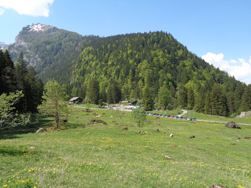
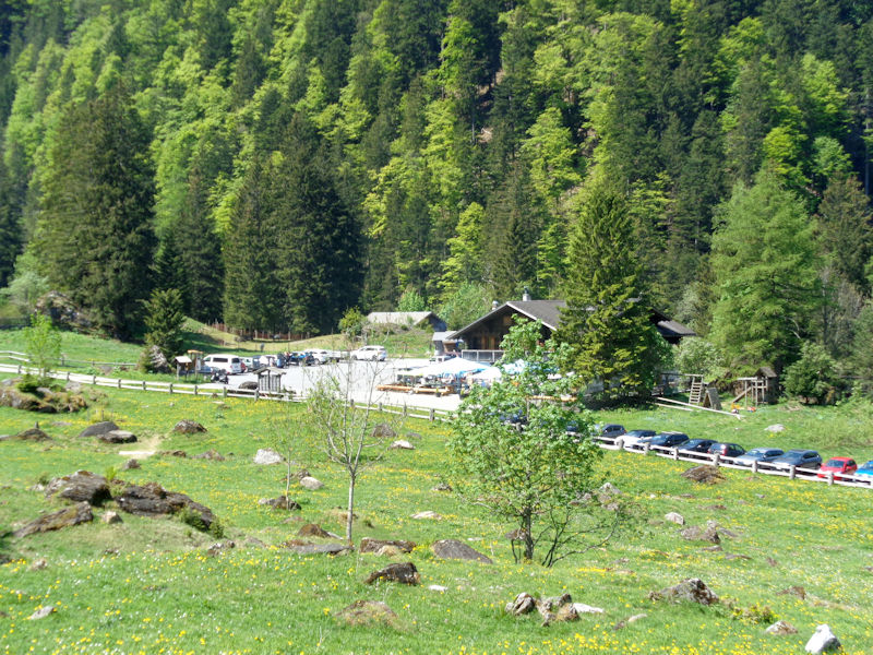
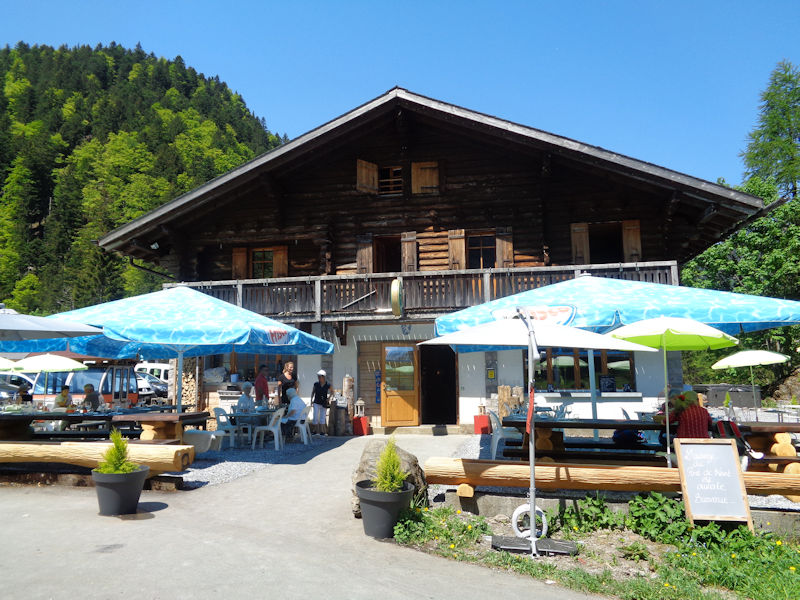
This is the restaurant at the Pont de Nant, residing at 1253m at the foot of the Vallon de Nant up the little road from Les Plans-sur-Bex, which is up a slightly wider road from Bex in the canton of Valais, southwestern Switzerland. The restaurant is shown on the map as an "auberge communal", or owned by the town.
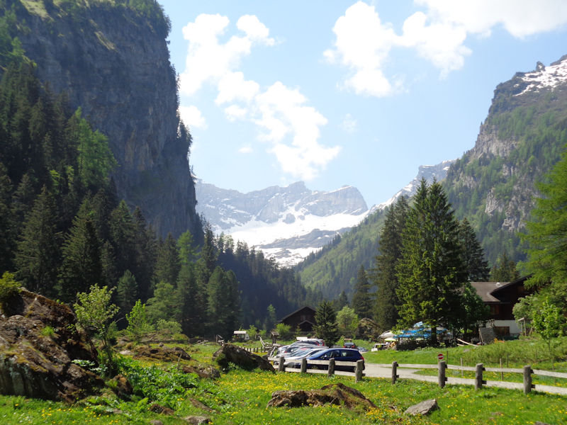
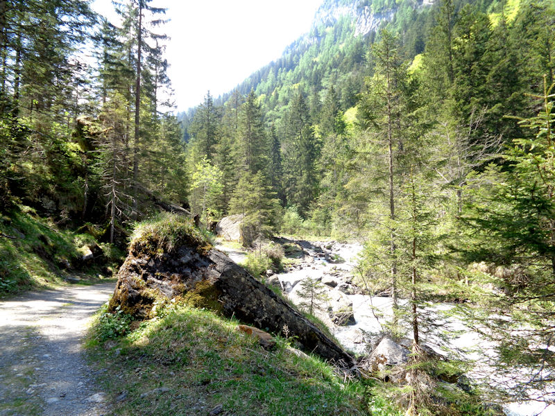
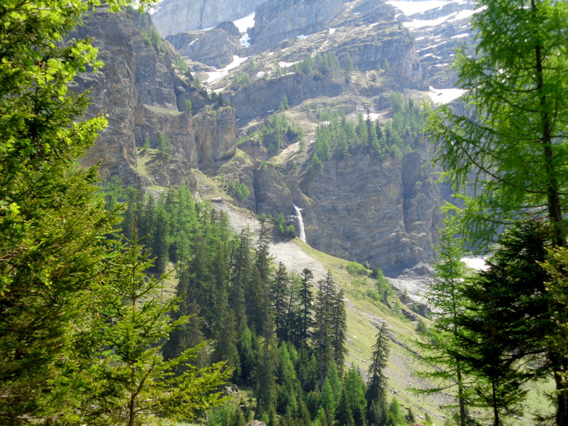
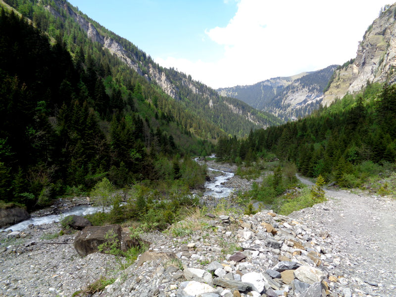
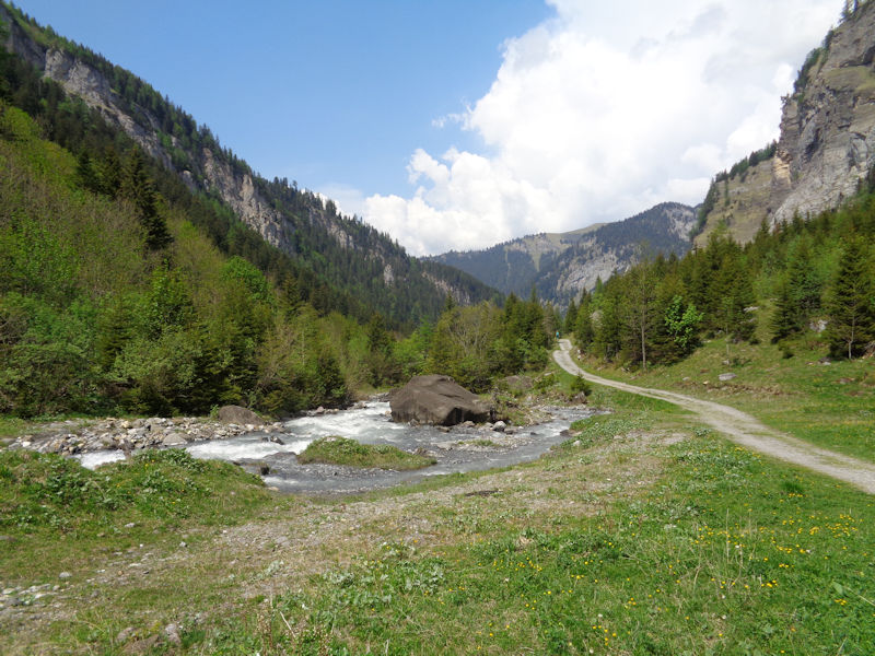
The Pont de Nant is a bridge over the Avançon-de-Nant torrent, which captures melt water off the back of several 3000m mountains above the valley and bounces northward about 4km down to the auberge, then tumbles through gorges past Les Plans-sur-Bex to join the Avançon-d'Anziende and bolt through downtown Bex to the river Rhône.
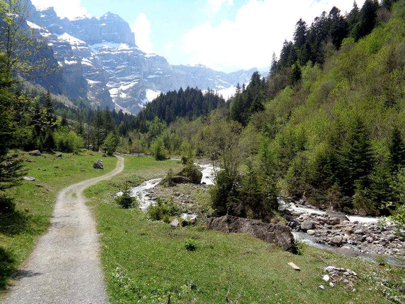
The Vallon de Nant, with the Dent de Morcles (2969m) bleached out in the background.
A nice day out for walkers, serious hikers, lunchers, and fans of the jardin botanique.
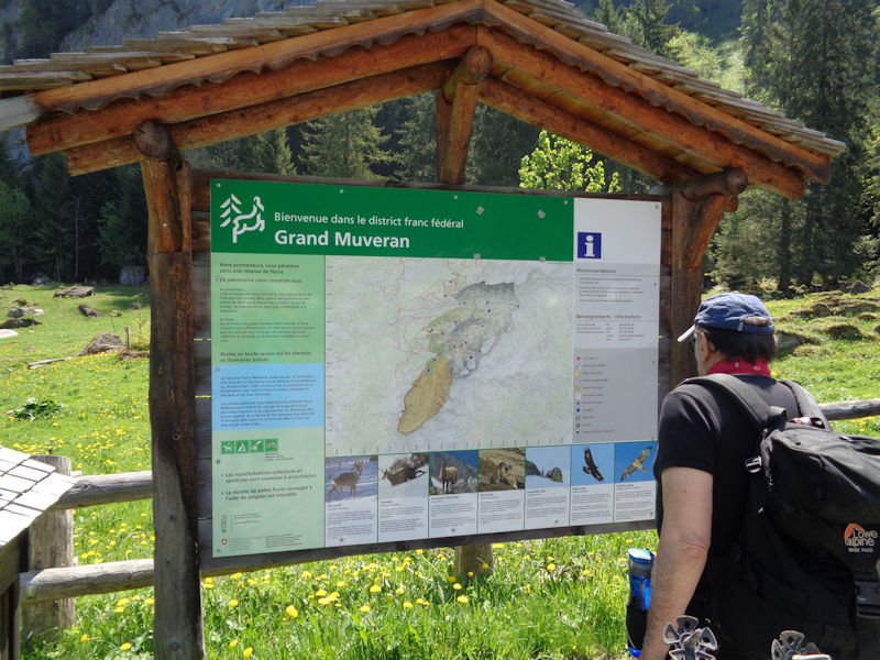
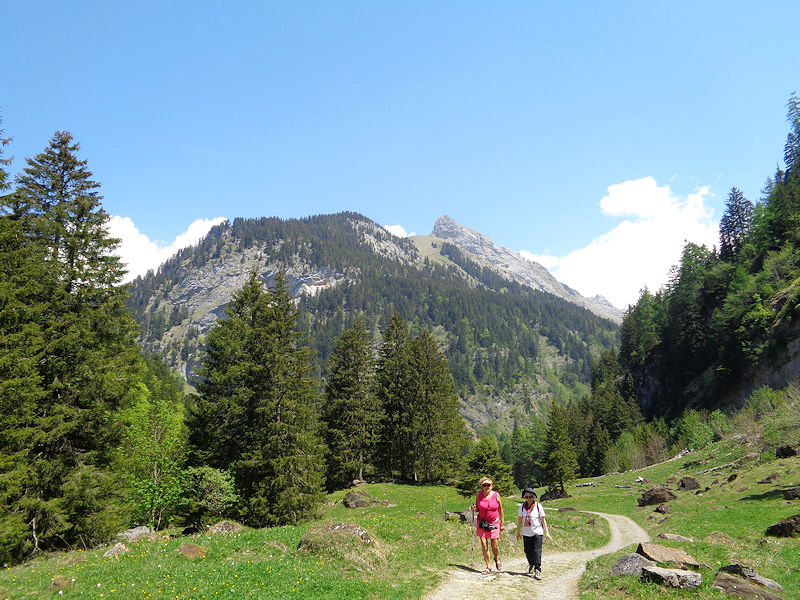
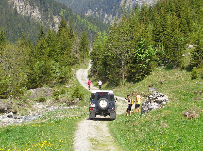
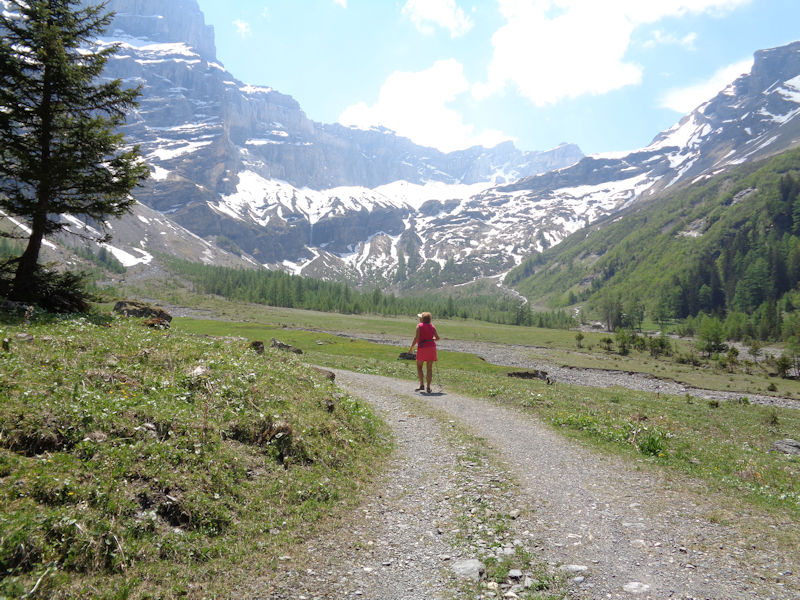
Our walk begins, in the Grand Muveran protected area.
First stop (still near the restaurant), the Jardin alpin de Pont de Nant 'La Thomasia' . . .
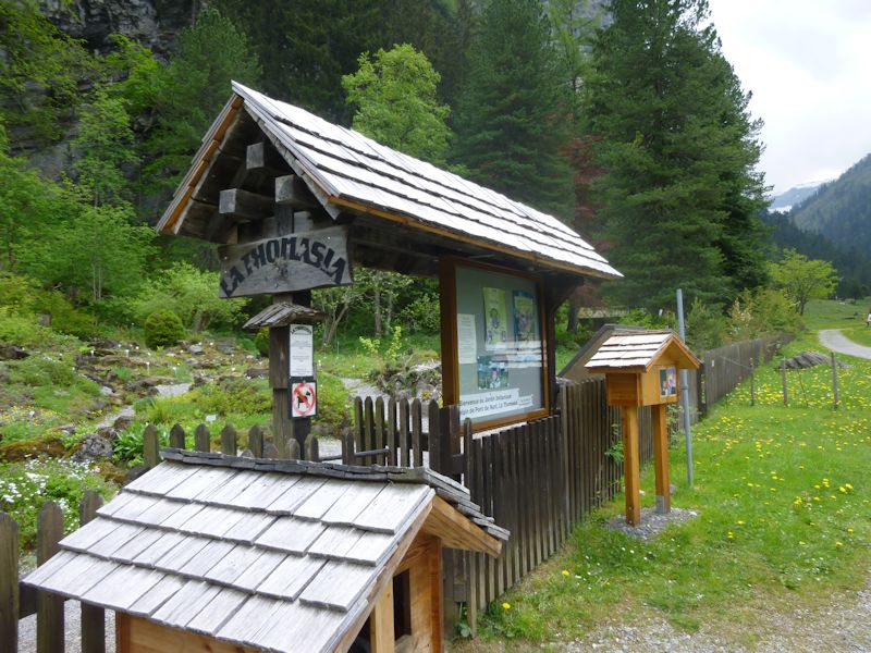
The garden was created in 1891 by the city of Bex and the Thomas family of botanists, now with over 3,000 species of alpine plants, and is called "the oldest continuously active alpine garden of Switzerland" (just preceding 'La Rambertia', created in 1896 on top of the Rochers de Naye overlooking Lake Geneva).
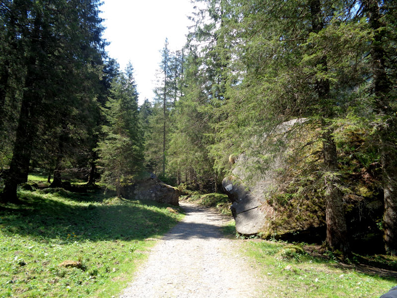
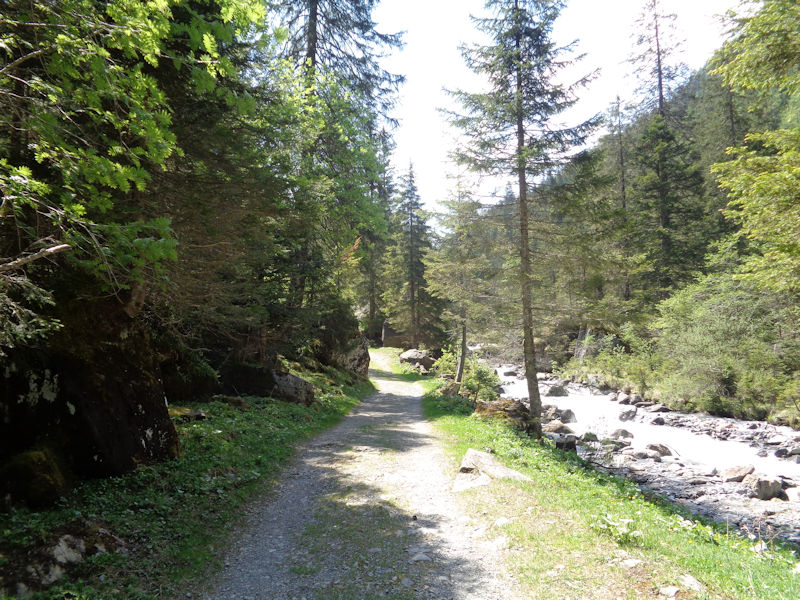
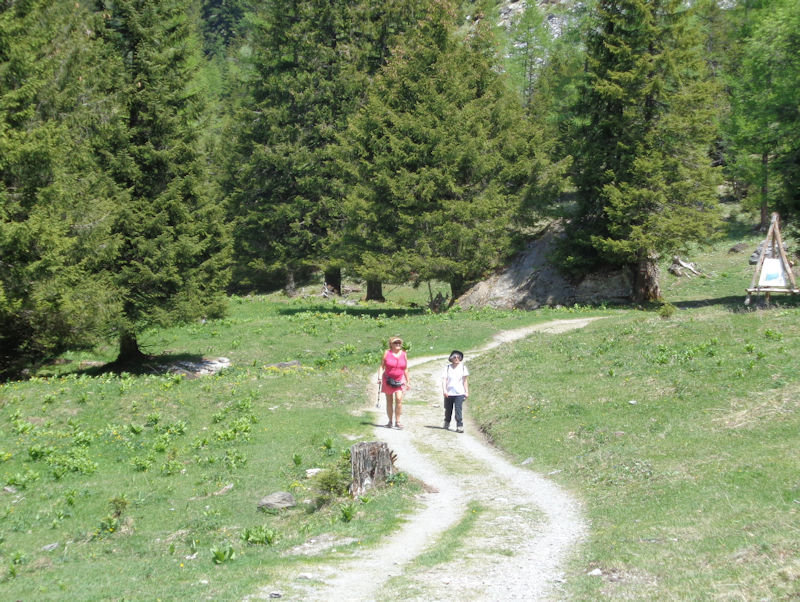
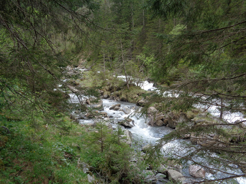
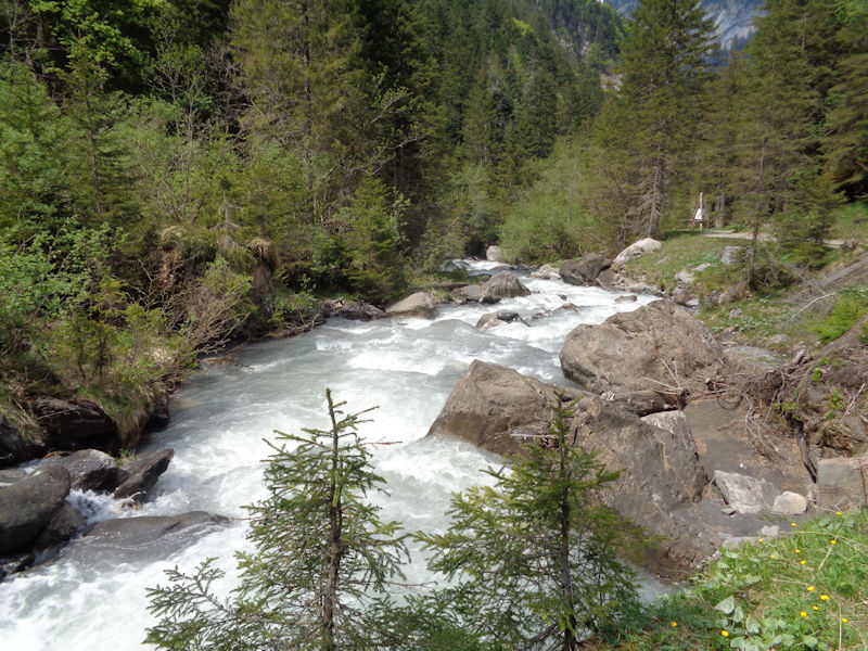
Nant path scenes
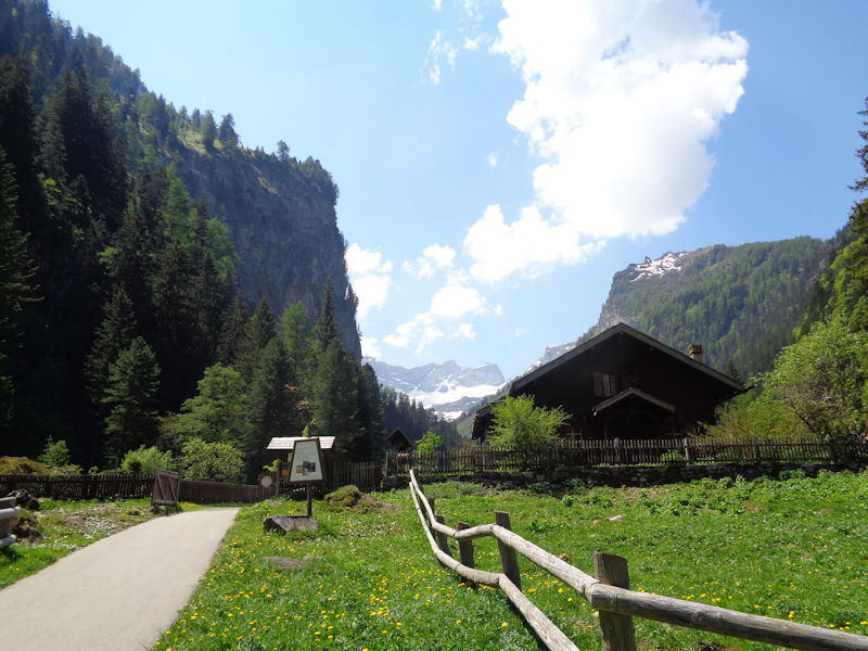
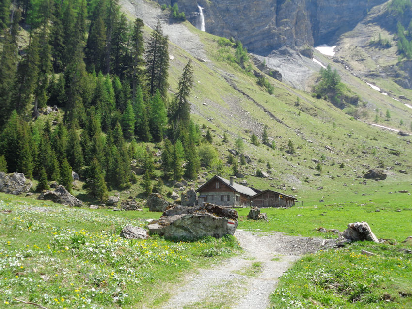
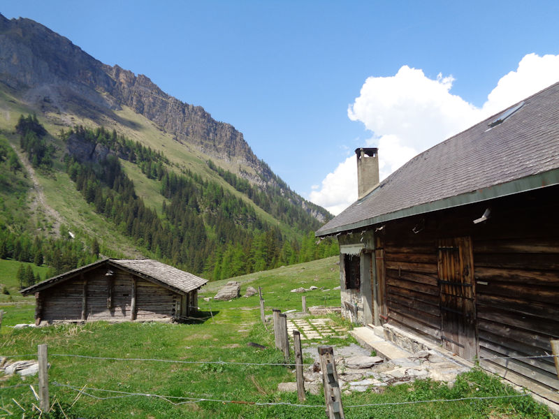
The path rises from the carpark at 1250m to a solitary farm building at 1500m about 3km to the south.
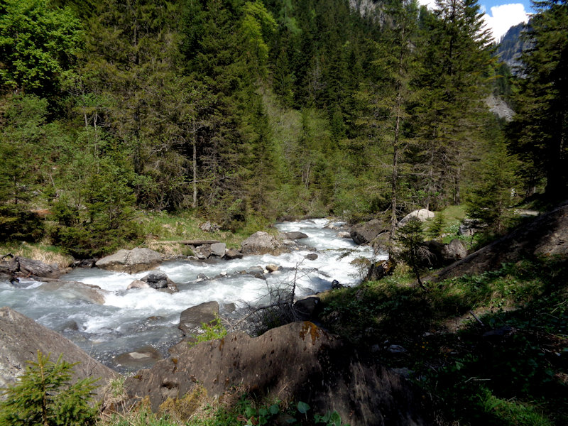
L'Avançon de Nant ('Avançon', according to Henry Suter, is a old patois French word for a water course, quite common in this immediate region.)
The ones with trees growing out of them at least did not come crashing down last week.
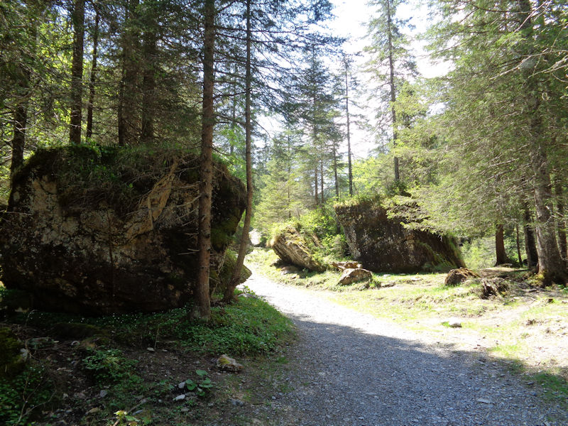
Nant path scenes
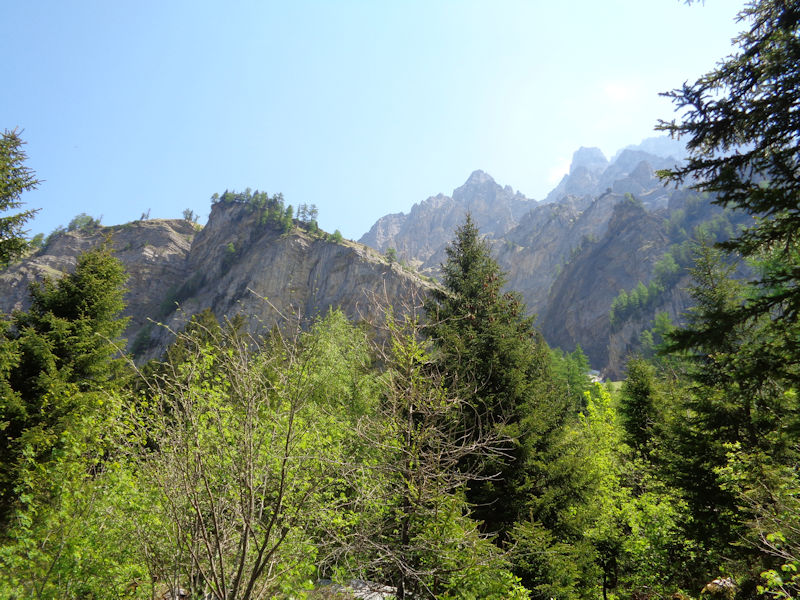
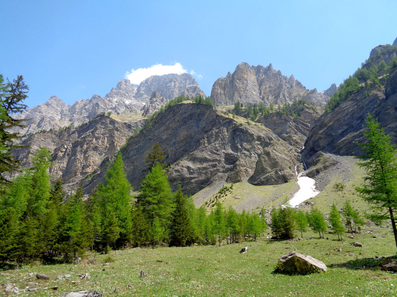
Looking up at peaks just to the north of the Grand Muveran
The Grand Muveran (3051m) is up there somewhere.
Progress
The farmer stops for a chat.
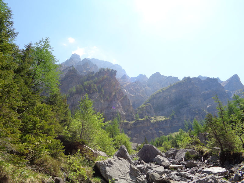
The Grand Muveran to the east of our path
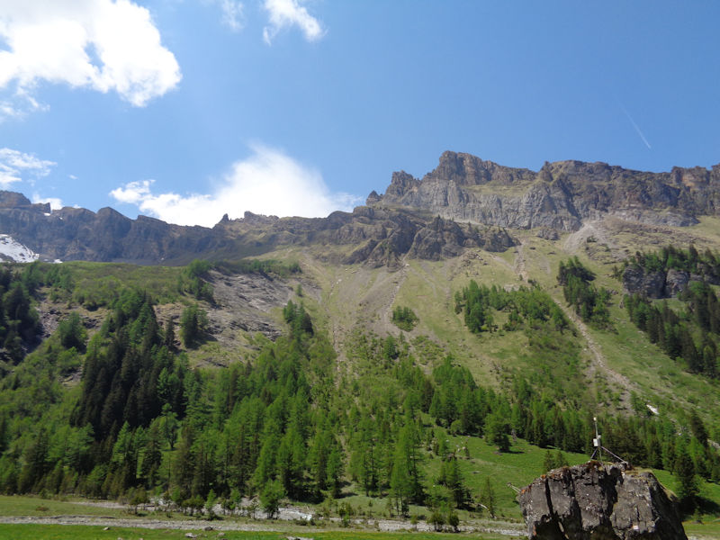
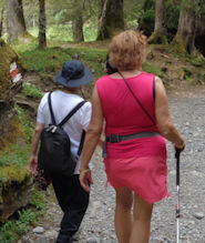
Stragglers (catching up on all the news). The pylon on the right is one of several supporting information panels on flora, fauna, history, conservation tips, etc.
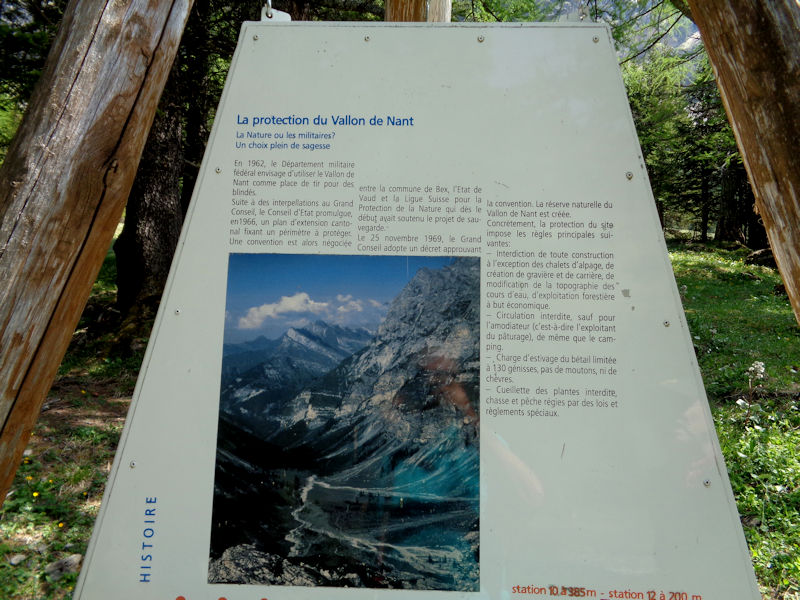
A little history: in 1962 the military had slated the valley for a target practice range for tanks, but in 1966 the Federal Council intervened, and an agreement was signed between the town of Bex, the canton or state of Valais, and the NGO the Ligue Suisse pour la Protection de la Nature to safeguard the site. The Nature Reserve was approved in November 1969.
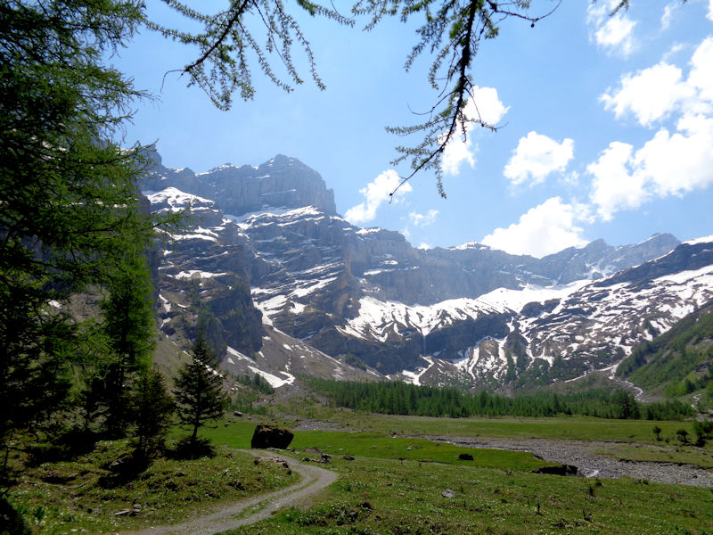
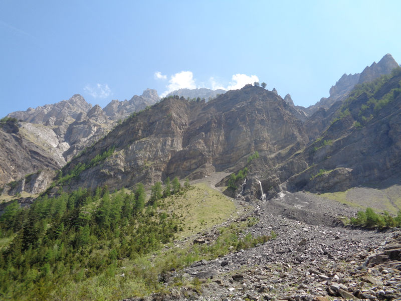
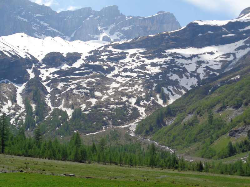
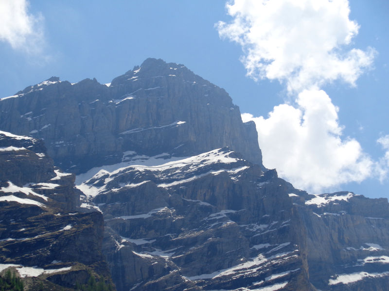
The flats at the head of the valley, beneath the glacier and late-spring snow on the Dents de Morcles. The long snow field stretching from the centre up to the right is the Glacier des Martinets.
As part of the conservation agreement, no constructions can be made except alpine chalets (there is still only one), no gravel quarrying, no changes to the water course, and no commercial forestry. No vehicles are allowed (except for the farmer's), nor any camping. Livestock in summer are limited to 130 heifers, no sheep or goats at all. Picking the flowers is forbidden, and hunting and fishing are subject to special laws and rules.
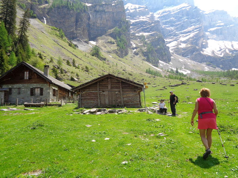
We've arrived . . . the farm buildings are just across the flat (if memory serves).
The Grand Muveran
Our destination for today
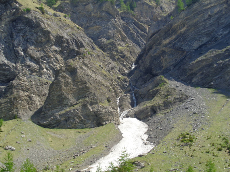
One of the creeks (the Nant des Têtes) that form the Avançon. There is a path that follows the creek and continues straight up to the Col des Perris Blancs (2544m) and Col des Martinets (2615m) under the Glacier des Martinets seen up at the left and centre, and another that doubles back right just a little way up and leads to . . .
. . . the Col des Pauvres (2111m, the 'pass of the unfortunate people'), near the centre of the photo (haven't been back there since 1982).
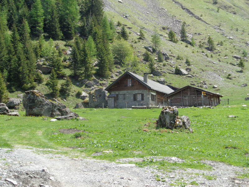
The farm is just listed on the Swisstopo map as "Nant". Unsurprisingly.
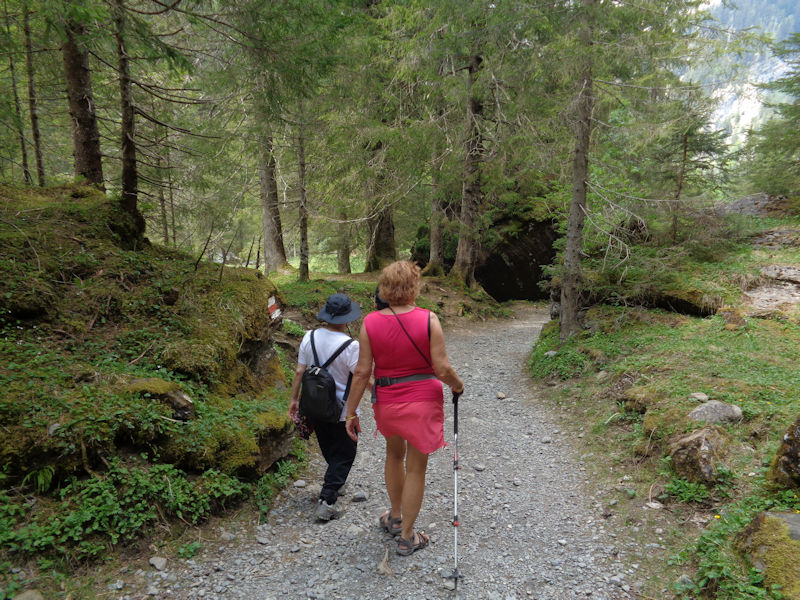
Rest time
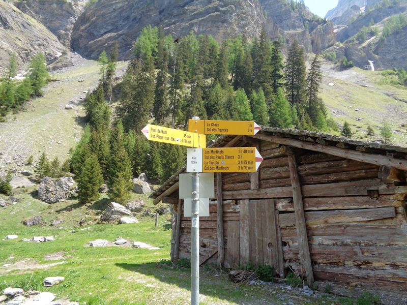
A carrefour of hiking trails (the red and white splashes indicate more serious hiking conditions)
Les Dent de Morcles
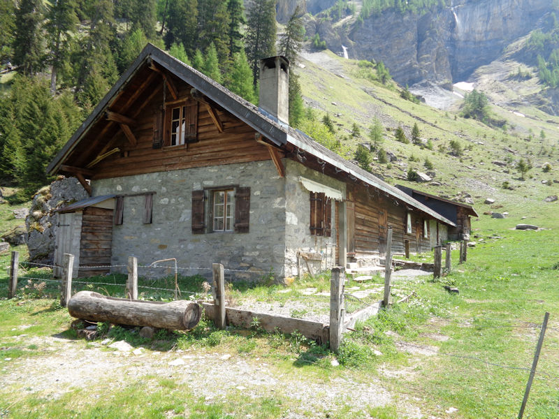
Nant
Fully rested (and stiffening up), it's time to return.
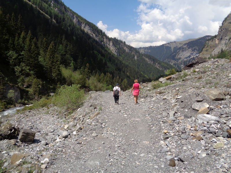
Nant path scene
Another Nant path scene
The Vallon de Nant in May
An island in the stream
Teny and Kristin
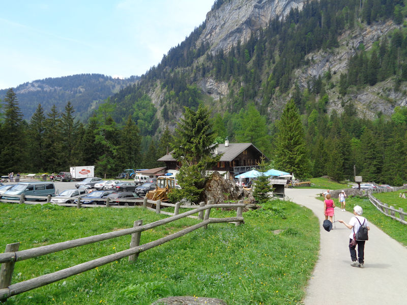
Auberge de Nant scene
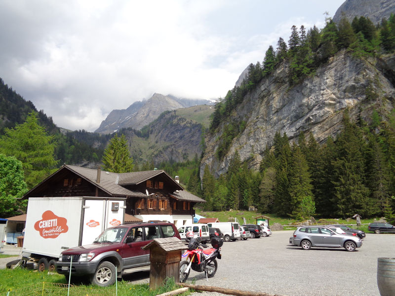
Another Auberge de Nant scene. Our walk up to the Nant farm and back was an easy and very scenic two hour expedition.
Addenda
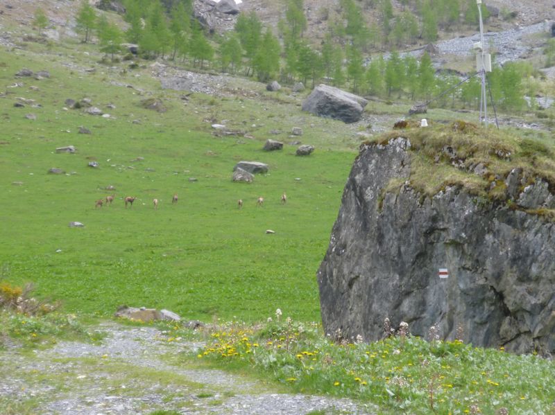
A startled gaggle of chamois near the Nant farm in June 2014
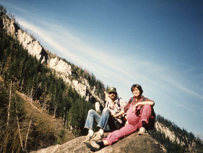
An earlier visit up the Vallon de Nant, two days before Marlowe was born, November 1984

 Dwight Peck's personal website