Dwight
Peck's farm photos
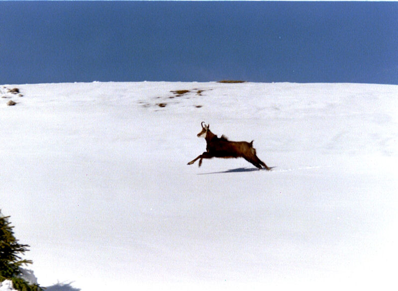
Farms
of the Jura in winter
The
Jura mountains run in a southwest-northeast direction along the border between
France and Switzerland, from Geneva (Genève) to Basel (Bâle), holding at about
1300-1400 meters altitude (4350-4500 feet), and peaking in the range of 1650 meters
(5450 feet). These photos of high alpage farms in winter are mainly from the southwestern
end of that range, between the cities of Geneva and Vallorbe.
![](../pictures/niceline.gif)
Druchaux
![](../pictures/jura/jura-druchaux5.jpg)
The
Druchaux pasturage is on a broad shelf at 1550 meters, for hikers a staging
area in the approach to the top massif of Mont Tendre, directly to the north.
8 December 2003.
![](../pictures/win/winter2004-5r07.jpg)
Walking
up from the east, early April 2005
![](../pictures/win/winter2004-5r09.jpg)
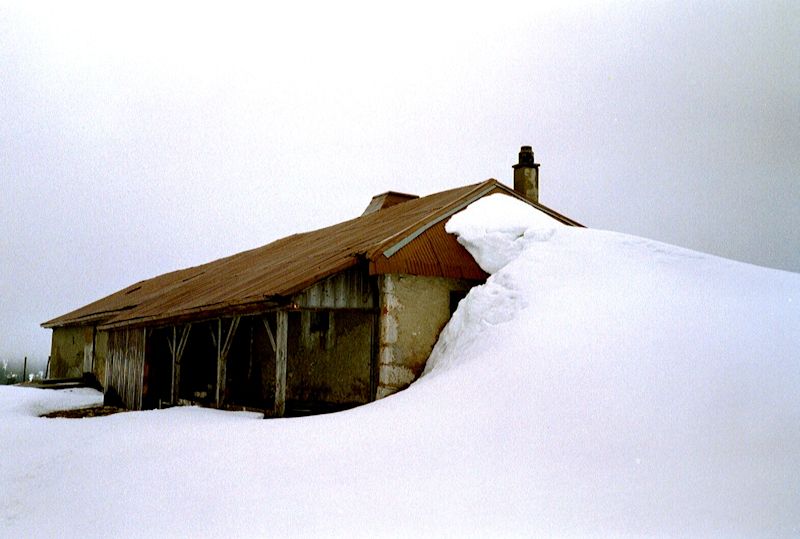
Druchaux
in fast-melting snow, 3 April 2005
![](../pictures/win/winter2004-5r12.jpg)
Looking
out over Lake Geneva
![](../pictures/win/winter2004-5r13.jpg)
Viewed
from the west, 3 April 2005
![](../pictures/win/winter2004-5r08.jpg)
![niceline.gif (4513 bytes)](../pictures/niceline.gif)
![jura-druchaux3.jpg (17293 bytes)](../pictures/jura/jura-druchaux3.jpg)
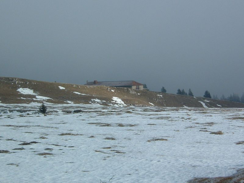
A dreary
afternoon on 10 March 2001
![](../pictures/chamois1.jpg)
Mr
Chamois, surprised late in the day near the Druchaux farm, saunters off to dinner
in the nearby Creux d'Enfer, oblivious to hidden hikers.
![](../pictures/chamois2.jpg)
![](../pictures/chamois3.jpg)
![](../pictures/maps/creux-denfer2013.jpg)
from SwitzerlandMobility (http://map.schweizmobil.ch/?lang=en)
Feedback
and suggestions are welcome if positive, resented if negative, .
All rights reserved, all wrongs avenged. Posted 10 April 2001, revised
28 July 2007, 25 October 2014, 20 January 2020.
|