|
 Dwight
Peck's farm photos Dwight
Peck's farm photos
Farms
of the Jura in winter
The
Jura mountains run in a southwest-northeast direction along the border between
France and Switzerland, from Geneva (Genève) to Basel (Bâle), holding at about
1300-1400 meters altitude (4350-4500 feet), and peaking in the range of 1650 meters
(5450 feet). These photos of high alpage farms in winter are mainly from the southwestern
end of that range, between the cities of Geneva and Vallorbe.

La Cerniat

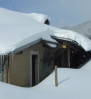
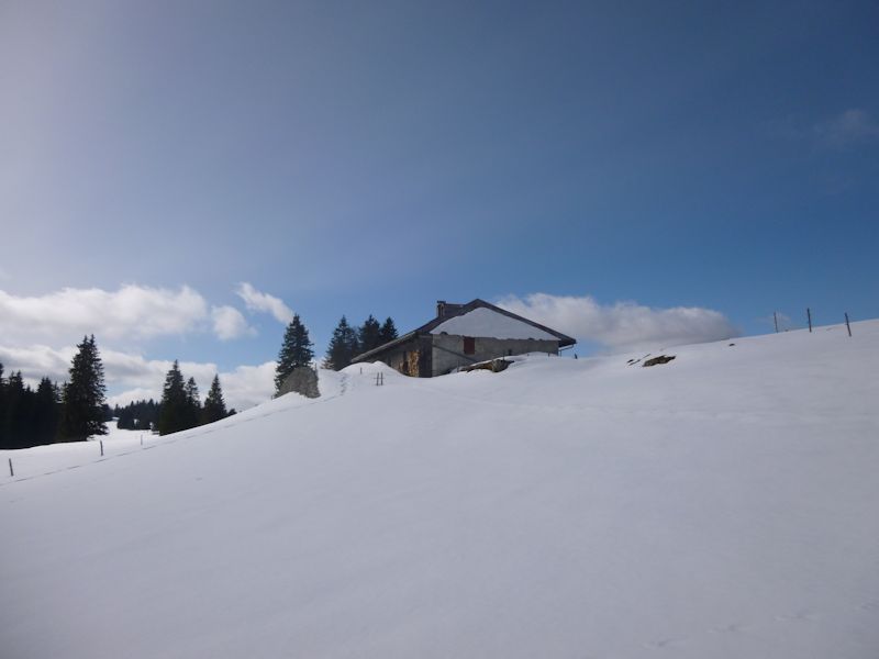
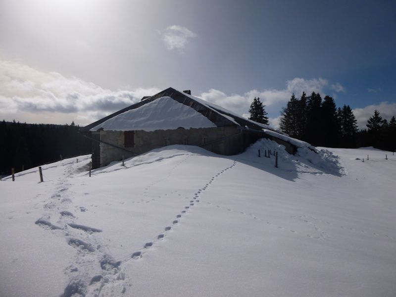
The farm of La Cerniat (1277m), southward above Le Brassus in the Vallée du Joux, along the paved road up to the Combe des Begnines. A sunny 19 February 2014.
According to Henry Suter, place-names cognate with Cerney and Cerniat (and Cergnat, a hamlet near Leysin) derive from an early patois term to a method of clearing trees to create pastures and farm land, related to an ancient common word for a circle.
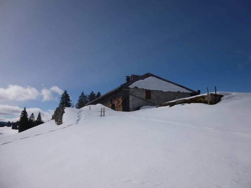
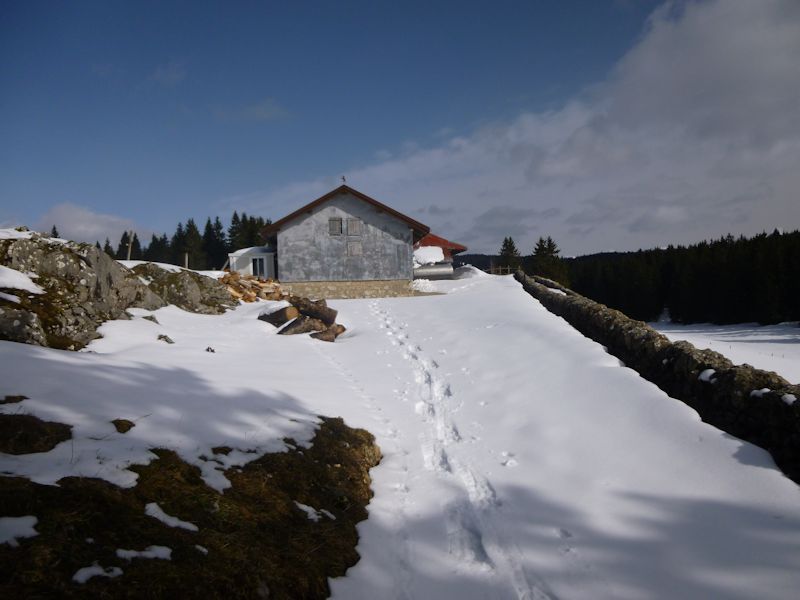
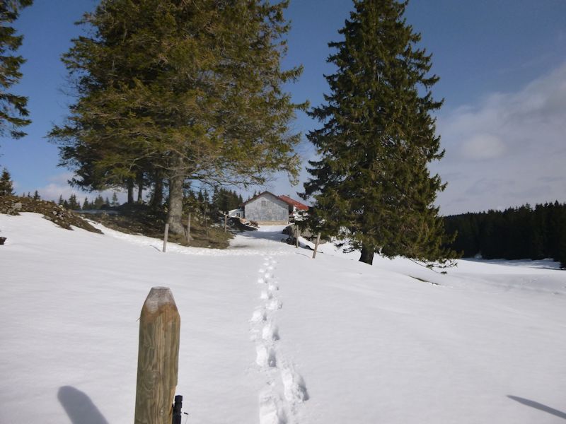
A snowshoer has been here only a few days ago, but our track from ten days ago is long gone now.

We're coming up from the east.
End on, into the sun
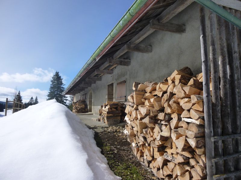
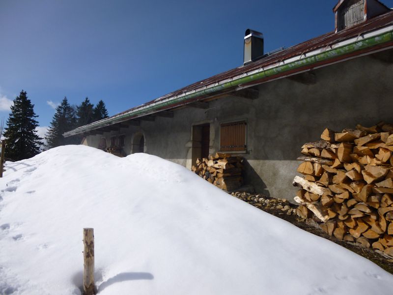
Views of La Cerniat in sunlight

Looking southward towards Le Cerney farm

It's time to get a move on.

Down the driveway
Our last views of La Cerniat; possibly forever
Earlier photos of La Cerniat

9 February 2014

A skier from earlier today

Around the back side

End on, and no more time to dawdle

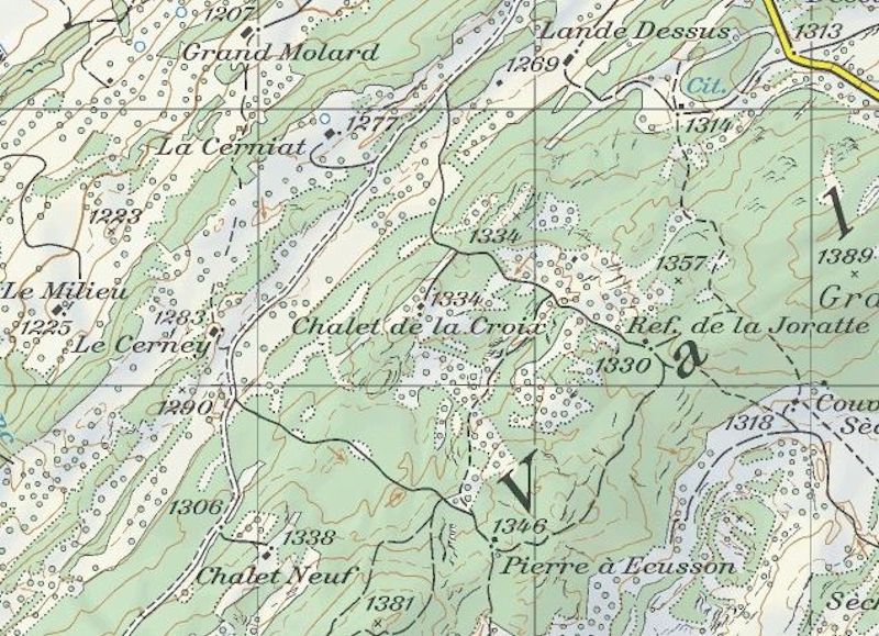
from SwitzerlandMobility (http://map.schweizmobil.ch/?lang=en)
 Feedback
and suggestions are welcome if positive, resented if negative, Feedback
and suggestions are welcome if positive, resented if negative,  .
All rights reserved, all wrongs avenged. Posted 20 April 2014, 19 Januaary 2020. .
All rights reserved, all wrongs avenged. Posted 20 April 2014, 19 Januaary 2020.
|