|
 Dwight Peck's personal website Dwight Peck's personal website
Tour
de Mayen
near
Leysin, Switzerland
The
lovely village of Leysin, in the Swiss Alps, sprawls at 1250m-1450m on the flank
of a range of six small limestone peaks. These little peaks are wonderful in all
seasons.
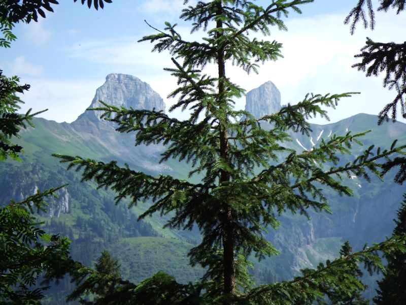
The
Leysin Six, from left, La Riondaz, La Berneuse (behind the tree), the Tour d'Aï
and Tour de Mayen in the center, the long hump of the Truex, and the Tour de Famelon
on the right.
The
very most fabulous collection of local mountains anywhere, 7km across from left
to right. The Tour de Mayen is at the centre on the horizon.
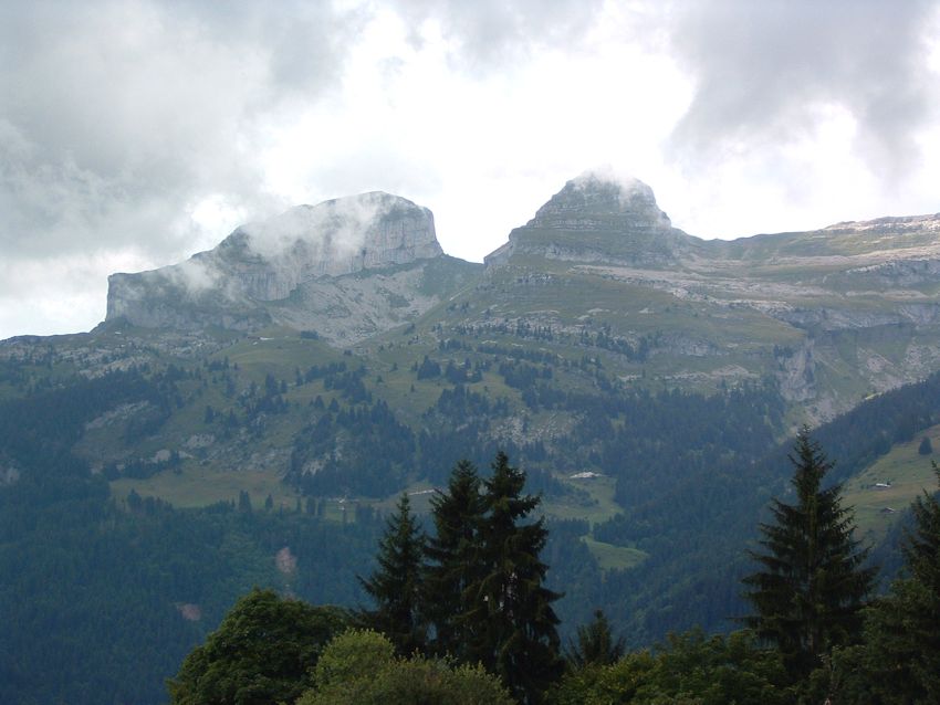
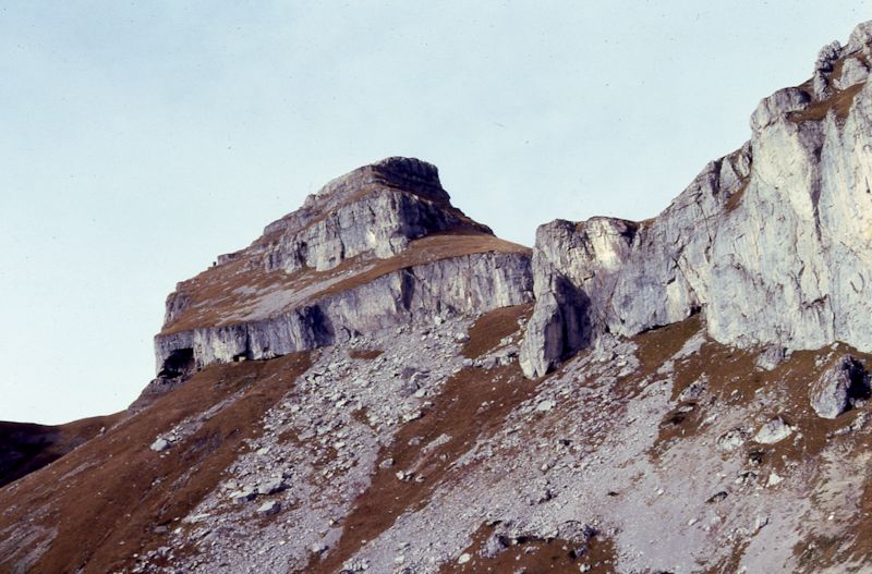
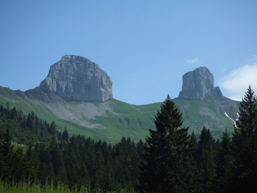
The
Tours d'Aï and Mayen from La Forclaz to their southeast
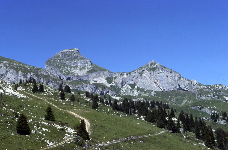
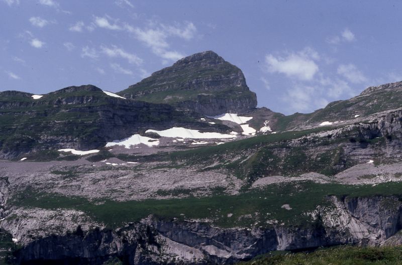
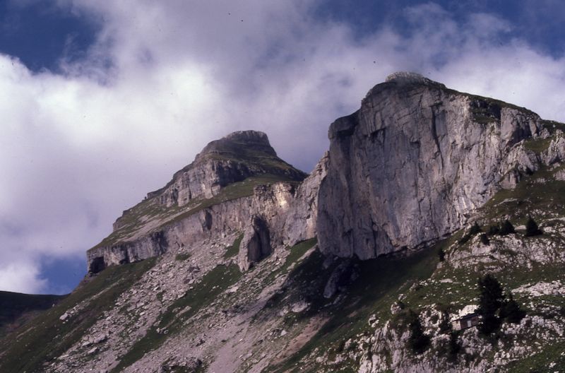
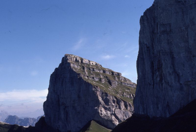
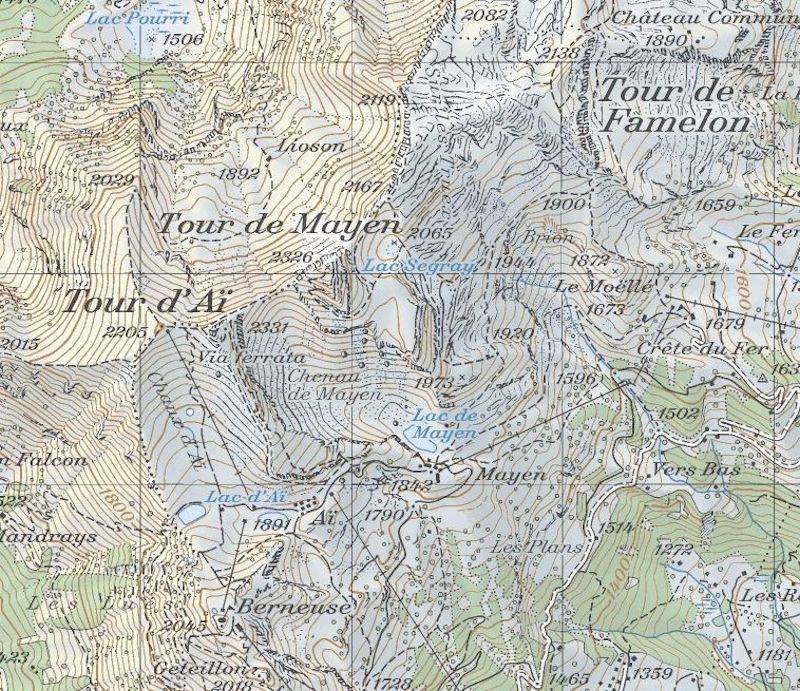
The Tour de Mayen (2326m)
in summer, 1979, with the yellow-trail road contouring across the bottom and the
red trail from the Berneuse snaking down from the upper left. The Diamond is the
lower, rightward cliff off the Plan de Mayen.

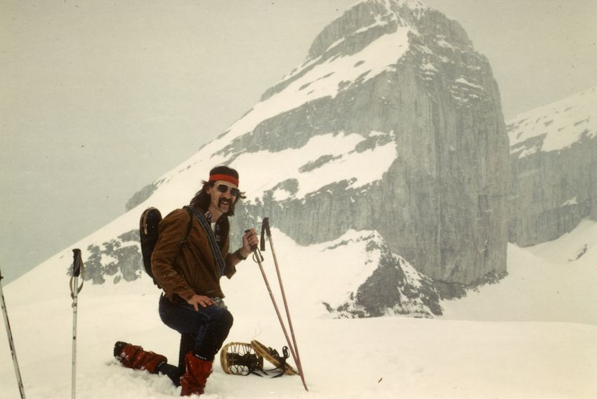
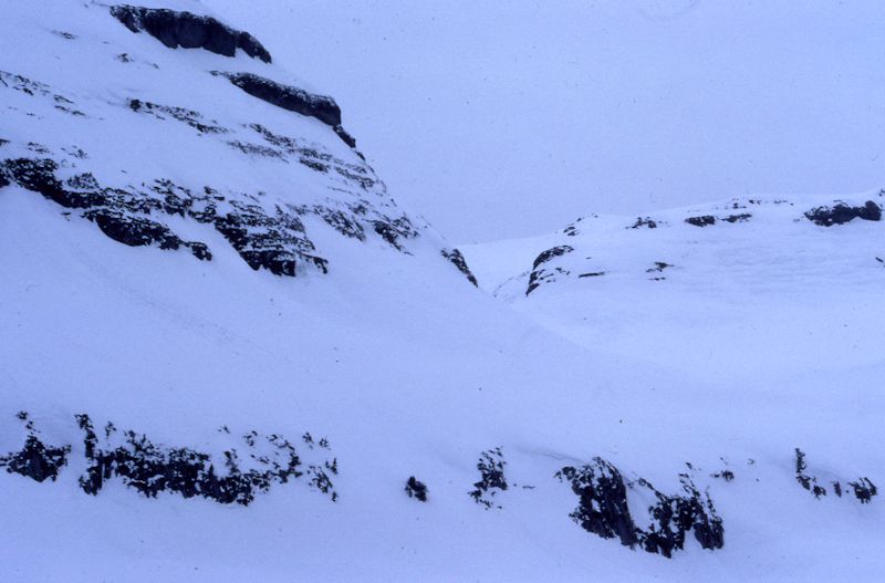
The
Diamond and the top of Tour de Mayen, 1980. Indifferent success on cross-country
skis, up at the top, but we got back down okay.

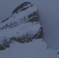
Summity
parts of Tour de Mayen, 1980. Cross-country skis are still to be dissuaded.

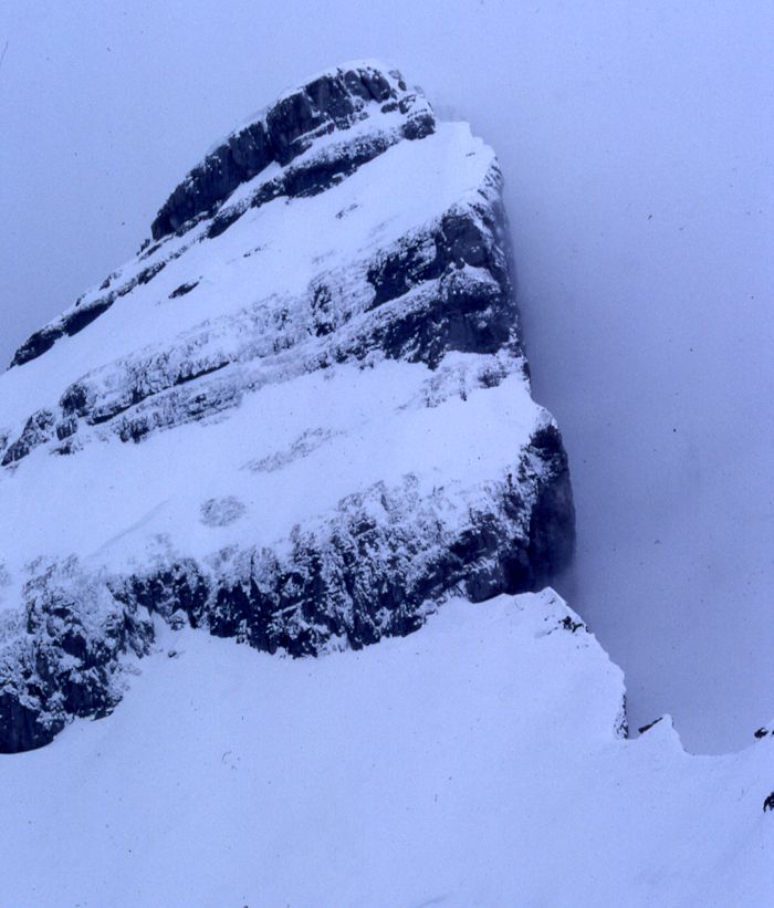
The
last bits to the top of Tour de Mayen, 2326m high
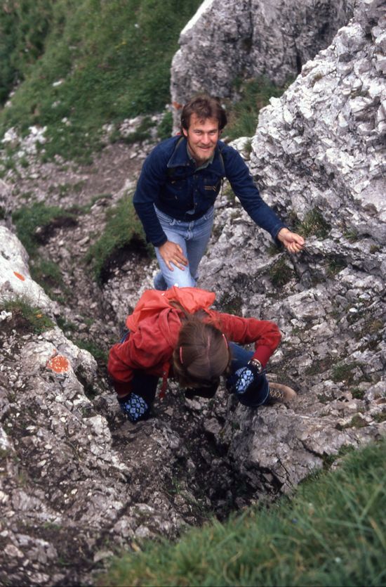
Our
then-dentist John and fellow ACS librarian Cathy dashing up the chain near the
top of Tour de Mayen, 1980.
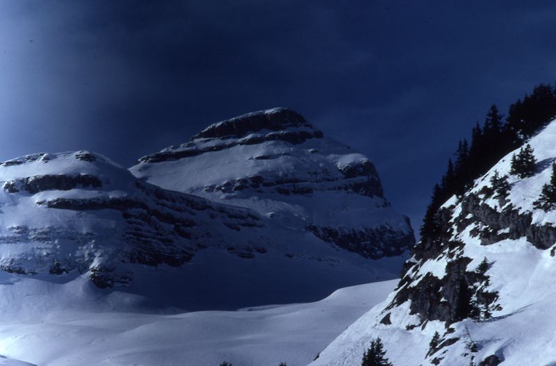
The
Tour de Mayen from the top of the Combe de Bryon, with Plan de Mayen on the left
and the Truex on the right.
Mr Peck, in the days before he could afford proper mountain clothing or a haircut,
reposing on Truex in front of the Tour de Mayen, 1980
The
Tour de Mayen in autumn, gone all brown. (Mr Peck and Mr Ware went up there
on crosscountry skis one blustery day in 1985 and had more fun going up than coming
down. In the absence of a real rope, Mr Peck belayed Mr Ware on an avalanche cord.)
A similar
shot a few years later, in a different season
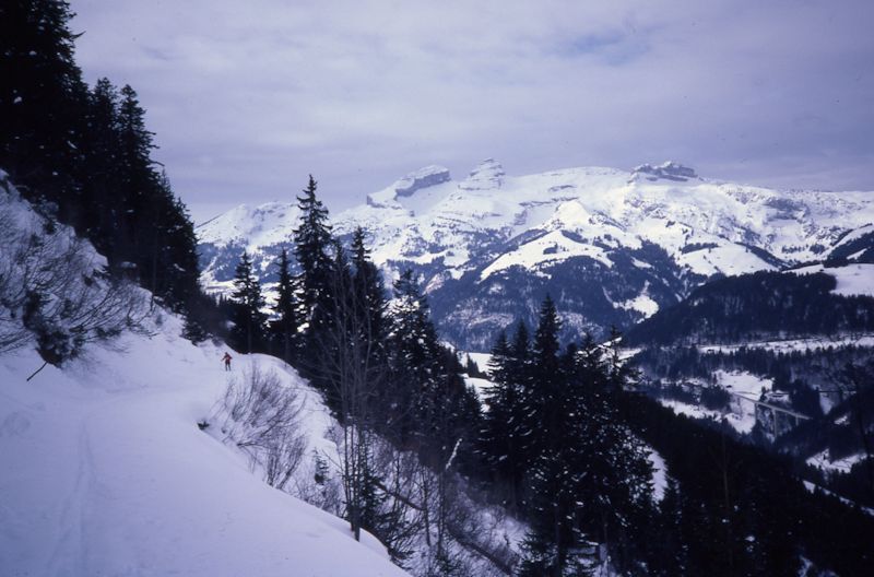
The
route up to the Tour de Mayen by the Lac de Segray, in about 1980
And the same mountain,
from Dessus Corbex above the Combe de Bryon, a stormy early evening in 1980; the
Lac de Segray in the notch on the right.
The
Tour de Mayen looking pretty inhospitable, on another rather stormy early evening,
1984. Didn't make it to the top this time but had fun anyway.
And
the Tour de Mayen in better weather, from behind the Tour d'Aï.
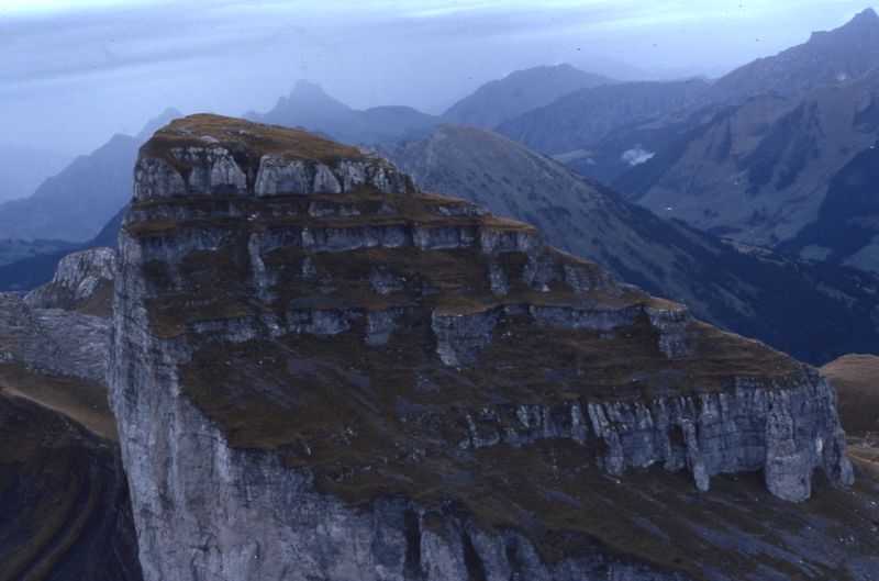
Tour
de Mayen from the top of the Tour d'Aï, ca. 1980. The normal hiking path
can be seen winding up from under the cliffs on the lower right up through the
obvious cleft left of center in the top rockband. The one with the chain laid
on.
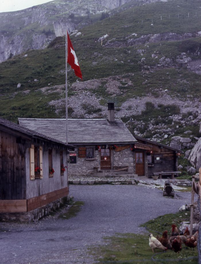
The
farm and buvette near Lac de Mayen, 1979

Lac
de Mayen and the buvette, farm, and top of the skilifts, Leysin down to the right,
1980 or so
The
Tour de Mayen and Tour d'Aï from the valley of the Hongrin on the far side
of the mountains, to the north. July 2006.
From
part way up the path from Ayerne in the Hongrin valley military ground to the
Pointe d'Aveneyre.

The
Leysin range from the far side: Famelon on the left, Truex across the middle,
Mayen, and Aï. July 2006.

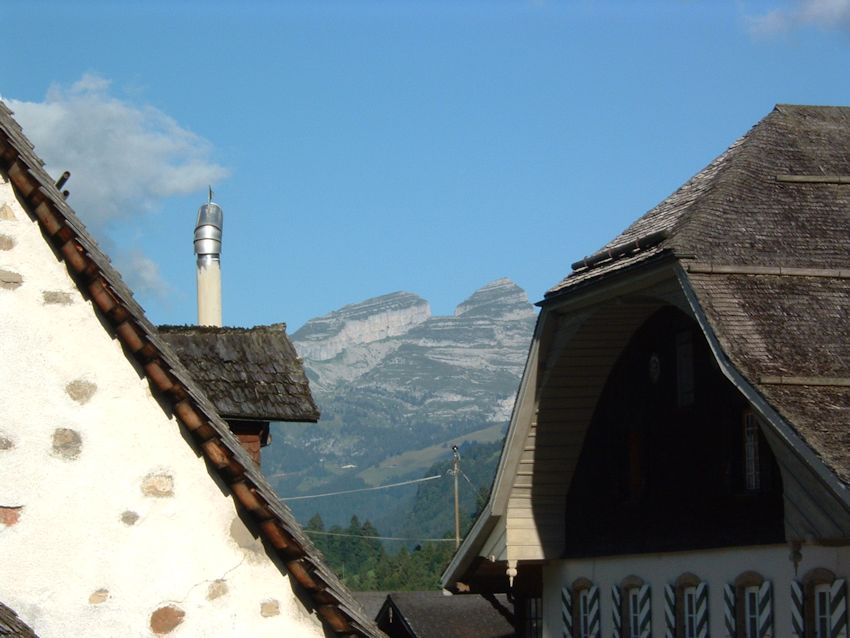
The
Tour de Mayen (left) and Plan de Mayen, the Diamond (right), from downtown
Leysin, 2005

The
Leysin Tours from the village of Vers l'Eglise, August 2005
Index
of Leysin local mountain photos
from SwitzerlandMobility (http://map.schweizmobil.ch/?lang=en)
 Feedback
and suggestions are welcome if positive, resented if negative, Feedback
and suggestions are welcome if positive, resented if negative,  .
All rights reserved, all wrongs avenged. Posted 23 September 2005, revised 18
January 2008, 14 March 2014. .
All rights reserved, all wrongs avenged. Posted 23 September 2005, revised 18
January 2008, 14 March 2014.
|