|
 Dwight
Peck's farm photos Dwight
Peck's farm photos
Farms
of the Jura in winter
The
Quiz (5)
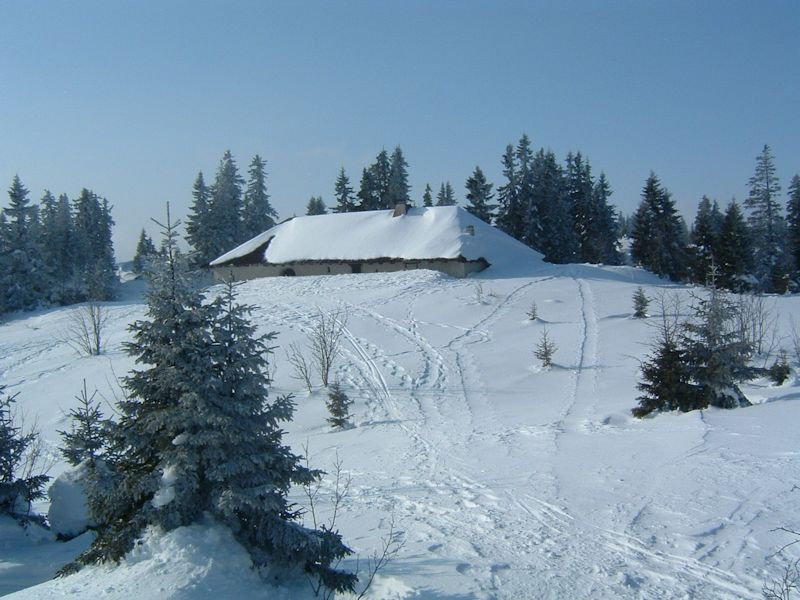
The
Jura mountains run in a southwest-northeast direction along the border between
France and Switzerland, from Geneva (Genève) to Basel (Bâle), holding at about
1300-1400 meters altitude (4350-4500 feet), and peaking in the range of 1650 meters
(5450 feet). These photos of high alpage farms in winter are mainly from the southwestern
end of that range, between the cities of Geneva and Vallorbe.
Look
at each photo, think about it for a little while, consult with your friends if
any, take a guess and write it down -- then click on the photo and count 1 for
"right", 0 for "wrong". Count -1 for guessing the wrong country.
Stay
reminded -- a few farms are represented more than once.

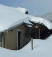
Here's
a hint: that's a Chemin des Crêtes trail sign.


 Feedback
and suggestions are welcome if positive, resented if negative, Feedback
and suggestions are welcome if positive, resented if negative,  .
All rights reserved, all wrongs avenged. Posted
21 February 2001, revised 2 October 2008, 13 December 2013. .
All rights reserved, all wrongs avenged. Posted
21 February 2001, revised 2 October 2008, 13 December 2013.
|